South Dade Greenway
 Photo: Ivan Curra, CC BY-SA 3.0 (via Wikimedia Commons)
- 39.9 mi
- one way
- 17 ft
- high point
- Point to point
- route
- Easy
- difficulty
- Nov–Apr
- best months
South Dade Greenway is a 40-mile point-to-point route in Florida, about 4 miles from the town of Coopertown. It is an easy hike with no elevation gain, running from a low point of about 1 foot to a high of about 17 feet. The route is flat and straightforward, and it works well for a long outing on foot, by horse or on a bike, since all three are allowed along the way. The most comfortable months for a visit are typically the cooler, drier stretch from December through April. A nearby weather station records typical average highs of about 77 to 81°F in that window, with only six to eight wet days a month. Summer is hotter and wetter, with typical highs around 90°F and about 17 to 20 wet days a month from June through September. The route is part of the iwn trail network, and it is open year-round. Plan on a full day for the trip, and start at the trailhead near Coopertown.
- Nearby · NWST RTE 224 Shark Valley Loop Road · Fr#6 · Otter Cave Hammock Trail
Best time to go · Nov–Apr
Best time to visit South Dade Greenway
Best months: November–April. Best months have typical highs of 55–85 °F, lows of 30 °F or warmer (32 °F where the station doesn't record snow), at most one snowy day and no more than 12 wet days.
Jan
77° / 59°
7 wet
Feb
78° / 61°
6 wet
Mar
81° / 63°
6 wet
Apr
85° / 67°
7 wet
May
87° / 71°
12 wet
Jun
90° / 75°
17 wet
Jul
91° / 76°
19 wet
Aug
91° / 76°
20 wet
Sep
90° / 76°
19 wet
Oct
87° / 73°
15 wet
Nov
82° / 66°
10 wet
Dec
78° / 62°
8 wet
Typical high / low (°F) and days with rain or snow, 1991–2020. Measured at Miami Nwsfo, FL, 7.2 mi away at 14 ft. This station doesn't record snowfall. Source: NOAA NCEI U.S. Climate Normals 1991–2020.
Keep exploring — more trails worth the drive
 Photo: edenpictures, CC BY 2.0 (via Flickr)
NWST RTE 224 Shark Valley Loop Road
~29 min drive
14.67-mile loop trail in Florida, managed by the National Park Service.
 Photo: daveynin, CC BY 2.0 (via Flickr)
Fr#6
~44 min drive
3.83-mile out-and-back trail in Florida with 83 ft of elevation gain.
 Photo: edenpictures, CC BY 2.0 (via Flickr)
Otter Cave Hammock Trail
~29 min drive
0.64-mile out-and-back trail in Florida, National Park Service.
 Photo: SridharSaraf, CC BY-SA 2.0 (via Flickr)
Long Pine Key Trail
~45 min drive
6.64-mile point-to-point trail through Florida's pine flatwoods.
Photo: daveynin, CC BY 2.0 (via Flickr)Pinelands Trail
~44 min drive
Easy loop through Florida's pine flatwoods ecosystem.
HIKE
Boundary Line
~44 min drive
7.84-mile out-and-back trail in Florida with 6 ft gain.
 Photo: daveynin, CC BY 2.0 (via Flickr)
Fr#5
~45 min drive
Quick out-and-back trail under 1 mile in Florida.
HIKE
Jet Port
~47 min drive
6.56-mile out-and-back trail in Florida with 93 ft elevation gain.
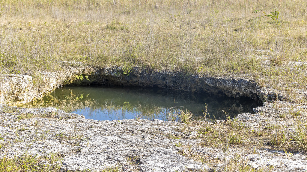 Photo: gary_leavens, CC BY-SA 2.0 (via Flickr)
Fr#9
~45 min drive
Fr#9 is a 1.54-mile out-and-back trail in Florida with 26 ft of elevation gain.
HIKE
Elliott Key Trail
~49 min drive
7.90-mile point-to-point trail in Florida with 116 ft elevation loss.
Map and trail data © OpenStreetMap contributors
