Sandpine Trail
- 1.8 mi
- round trip
- 50 ft
- climb
- 20 ft
- high point
- Out and back
- route
- Oct–Apr
- best months
Sandpine Trail is an easy, out-and-back hike in Little Manatee River State Park in Florida, managed by State Park and Recreation. The trail is about 3.6 miles long, and the route gains and loses about 50 feet in total, so it is nearly flat. The high point is 20 feet, and the low point is 5 feet, which makes it a gentle walk with little change in elevation. The most comfortable months for a visit are typically November through March, when typical averages from a nearby weather station run from highs around 72°F in January to about 78°F in March, with only five to seven wet days a month. Summer is hotter and wetter, with highs near 91°F and about 17 wet days a month in July and August. The hike takes about an hour. Palmetto Pass and Perimeter Path are both about a mile away, and Tortoise Trail is about 1.2 miles off. For paddling, Gamble Creek is about 6.4 miles away.
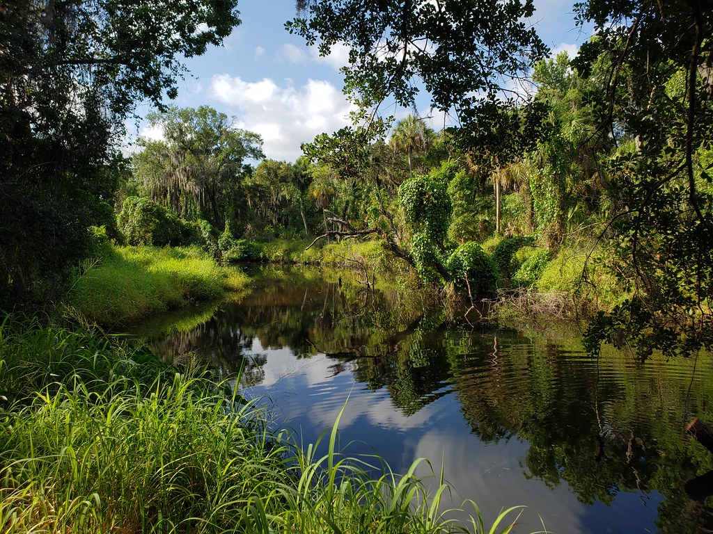 Palmetto PassHikingPhoto: heytampa, CC BY 2.0 (via Flickr)1.1 mi
- Perimeter PathHikingPhoto: heytampa, CC BY 2.0 (via Flickr)1.1 mi
- Tortoise TrailHikingPhoto: heytampa, CC BY 2.0 (via Flickr)1.2 mi
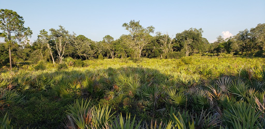 Little Manatee River State Park TrailHikingPhoto: Always Ascetic, Public Domain Dedication (CC0) (via Flickr)1.2 mi
- Tortoise TrekHiking6.3 mi
- Gamble CreekCanoeing6.4 mi
 Golden Aster Scrub Preserve TrailHikingPhoto: Always Ascetic, Public Domain Dedication (CC0) (via Flickr)9.2 mi
Source: Roamze catalog (indexable pages within 10 miles, PostGIS distance)
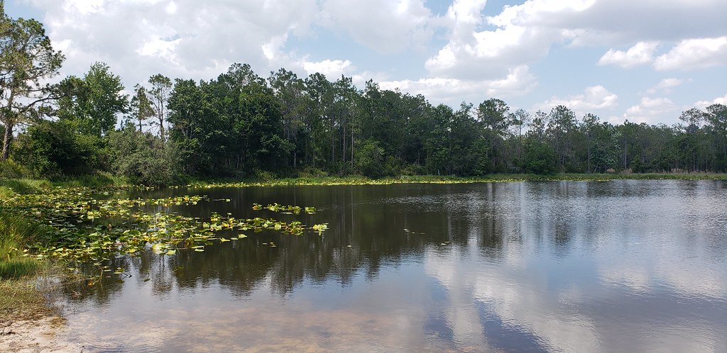 Powerline RoadHiking · Next doorPhoto: Always Ascetic, Public Domain Dedication (CC0) (via Flickr)
- Golden Aster PreserveHiking · ~16 min drivePhoto: Always Ascetic, Public Domain Dedication (CC0) (via Flickr)
- Alafia Rver State Park TrailHiking · ~28 min drive
- Palmetto PassHiking · ~2 min drivePhoto: heytampa, CC BY 2.0 (via Flickr)
 Skyway TrailHiking · ~32 min drivePhoto: zoso8203, Public Domain Mark (via Flickr)
- Little Manatee River State Park TrailHiking · ~2 min drivePhoto: Always Ascetic, Public Domain Dedication (CC0) (via Flickr)
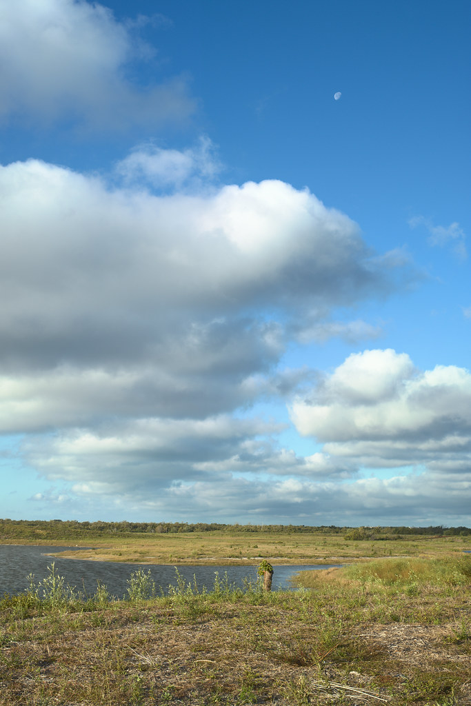 Eagle LoopHiking · ~36 min drivePhoto: tehbieber, CC BY-SA 2.0 (via Flickr)
- Golden Aster Scrub Preserve TrailHiking · ~16 min drivePhoto: Always Ascetic, Public Domain Dedication (CC0) (via Flickr)
- Emerson Point Park TrailHiking · ~32 min drive
 North Bay TrailHiking · ~29 min drivePhoto: Roman Eugeniusz, CC BY-SA 3.0 (via Wikimedia Commons)
Best time to visit Sandpine Trail
Best months: October–April. Best months have typical highs of 55–85 °F, lows of 30 °F or warmer (32 °F where the station doesn't record snow), at most one snowy day and no more than 12 wet days.
Jan
72° / 51°
7 wet
Feb
75° / 53°
6 wet
Mar
78° / 57°
6 wet
Apr
83° / 62°
6 wet
May
88° / 67°
8 wet
Jun
90° / 72°
14 wet
Jul
91° / 73°
17 wet
Aug
91° / 74°
17 wet
Sep
90° / 73°
13 wet
Oct
85° / 67°
8 wet
Nov
79° / 58°
5 wet
Dec
74° / 54°
6 wet
Typical high / low (°F) and days with rain or snow, 1991–2020. Measured at Tampa Bay Area Wfo, FL, 2.5 mi away at 40 ft. This station doesn't record snowfall. Source: NOAA NCEI U.S. Climate Normals 1991–2020.

Map and trail data © OpenStreetMap contributors
