Palmetto Pass
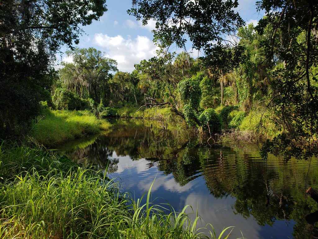 Photo: heytampa, CC BY 2.0 (via Flickr)
- 0.6 mi
- loop
- 17 ft
- high point
- Loop
- route
- Easy
- difficulty
- Oct–Apr
- best months
Clear today
Weather is good · OpenWeather · checked 11 h ago
Palmetto Pass is a short, easy hike in Camp Bayou Park, a county park in Florida. The route is about half a mile long and sits entirely on county land, with no elevation gain to speak of. The trail's highest point is 17 feet, and it ends with a small drop of about 47 feet, so it works well as a quick walk or a stop on the way to another part of the park. The most comfortable months for a visit are typically winter and early spring. A nearby weather station records typical average highs around 72°F in January and 78°F in March, with only five to seven wet days a month. Summer is hotter and wetter, with typical highs near 91°F and about 17 wet days in July and August. The Perimeter Path and the Tortoise Trail both start about 0.1 mile away, and the Sandpine Trail is about a mile off. For a longer outing, the Little Manatee River State Park Trail lies roughly 1.7 miles away.
Best time to go · Oct–Apr
Best time to visit Palmetto Pass
Best months: October–April. Best months have typical highs of 55–85 °F, lows of 30 °F or warmer (32 °F where the station doesn't record snow), at most one snowy day and no more than 12 wet days.
Jan
72° / 51°
7 wet
Feb
75° / 53°
6 wet
Mar
78° / 57°
6 wet
Apr
83° / 62°
6 wet
May
88° / 67°
8 wet
Jun
90° / 72°
14 wet
Jul
91° / 73°
17 wet
Aug
91° / 74°
17 wet
Sep
90° / 73°
13 wet
Oct
85° / 67°
8 wet
Nov
79° / 58°
5 wet
Dec
74° / 54°
6 wet
Typical high / low (°F) and days with rain or snow, 1991–2020. Measured at Tampa Bay Area Wfo, FL, 2.6 mi away at 40 ft. This station doesn't record snowfall. Source: NOAA NCEI U.S. Climate Normals 1991–2020.
Keep exploring — more trails worth the drive
Photo: heytampa, CC BY 2.0 (via Flickr)Tortoise Trail
Next door
0.62-mile loop in Florida with 23 ft gain.
 Photo: Always Ascetic, Public Domain Dedication (CC0) (via Flickr)
Golden Aster Preserve
~17 min drive
6.27-mile out-and-back trail in Florida with 145 ft elevation gain.
HIKE
Alafia Rver State Park Trail
~30 min drive
23.42-mile out-and-back trail in Alafia Rver State Park, Florida.
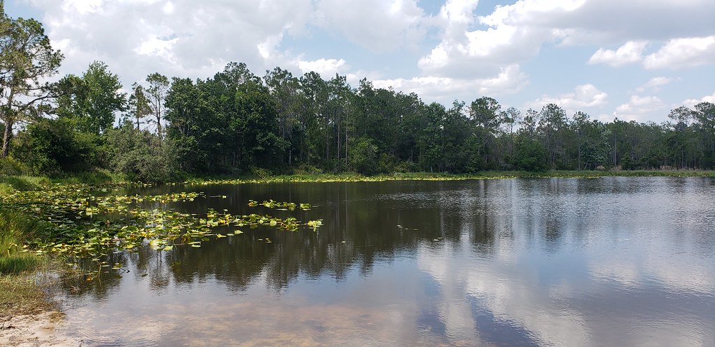 Photo: Always Ascetic, Public Domain Dedication (CC0) (via Flickr)
Powerline Road
~2 min drive
0.53-mile out-and-back trail in Florida's State Park and Recreation system.
 Photo: zoso8203, Public Domain Mark (via Flickr)
Skyway Trail
~30 min drive
6.66-mile out-and-back trail in Florida with 203 ft elevation gain/loss.
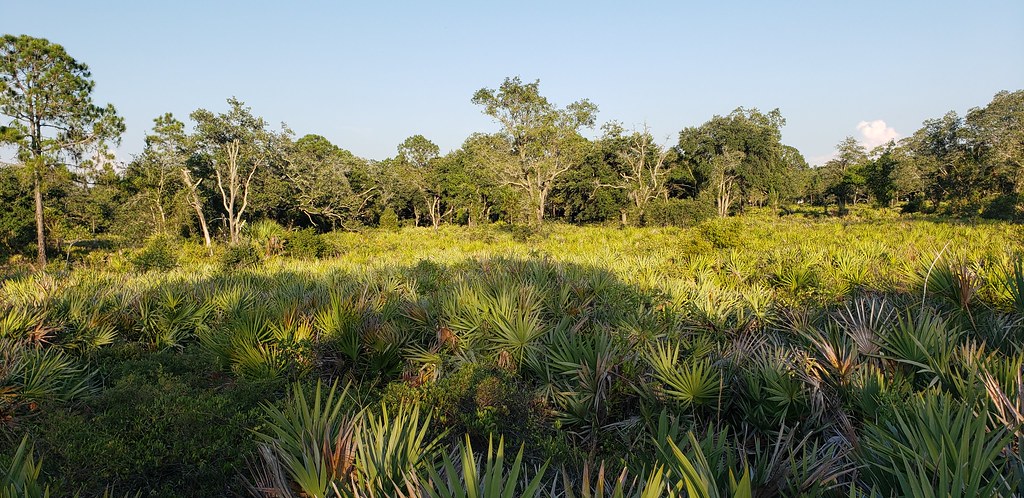 Photo: Always Ascetic, Public Domain Dedication (CC0) (via Flickr)
Little Manatee River State Park Trail
~3 min drive
21.29-mile out-and-back trail along the Little Manatee River in Florida.
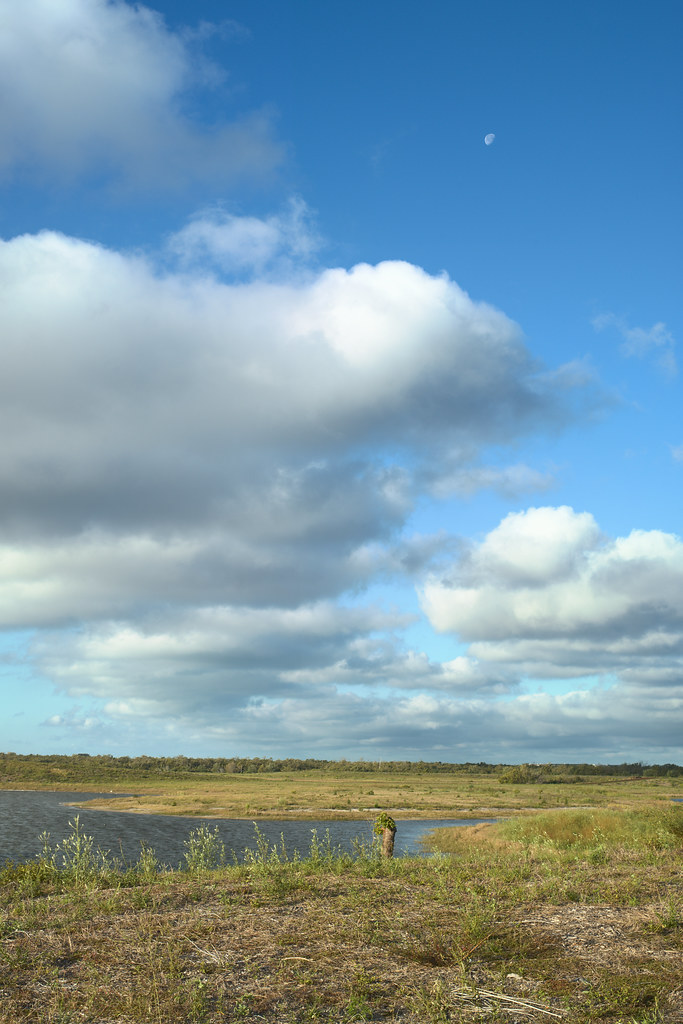 Photo: tehbieber, CC BY-SA 2.0 (via Flickr)
Eagle Loop
~34 min drive
3.82-mile out-and-back trail in Florida with 37 ft elevation gain.
Photo: Always Ascetic, Public Domain Dedication (CC0) (via Flickr)Golden Aster Scrub Preserve Trail
~17 min drive
1.15-mile out-and-back trail in Florida with 32 ft of elevation gain.
HIKE
Emerson Point Park Trail
~31 min drive
6.24-mile out-and-back hike in Emerson Point Park, Florida.
 Photo: Roman Eugeniusz, CC BY-SA 3.0 (via Wikimedia Commons)
North Bay Trail
~27 min drive
Easy 0.46-mile out-and-back bay access trail in Florida.

Map and trail data © OpenStreetMap contributors
