Little Manatee River State Park Trail
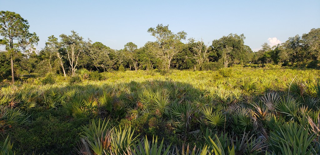 Photo: Always Ascetic, Public Domain Dedication (CC0) (via Flickr)
- 21.3 mi
- round trip
- 346 ft
- climb
- 36 ft
- high point
- Out and back
- route
- Oct–Apr
- best months
Little Manatee River State Park Trail is an easy out-and-back hike in Florida's Little Manatee River State Park, managed by State Park and Recreation. The trail is about 21 miles long, with a total elevation gain of about 50 feet, so it's a low-effort walk that stays close to the same level for most of the route. The trail's shape is simple: it starts and ends at roughly the same elevation, with a high point of about 36 feet and a low of about -2 feet. The steepest stretch comes at about 12.7 miles, where the grade reaches about 3 percent. Horses are allowed, and bikes are not. The most comfortable months for a visit are typically winter and early spring. Typical averages from a nearby weather station show January highs around 72°F with lows near 51°F, while summer brings highs around 90°F and rain on about 17 days a month in July and August. Several other trails sit close by. Sandpine Trail is about a mile away, and Palmetto Pass and Perimeter Path are each about 1.7 miles off. For paddling, Gamble Creek is about 5 miles away.
- Sandpine TrailHiking1.2 mi
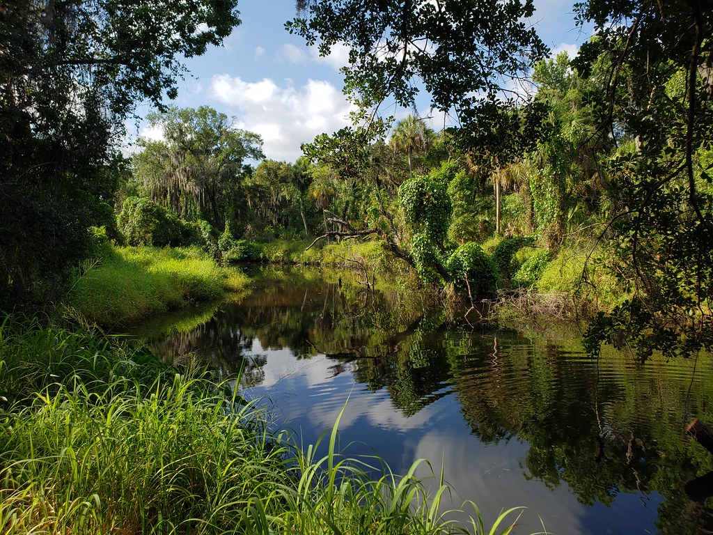 Palmetto PassHikingPhoto: heytampa, CC BY 2.0 (via Flickr)1.7 mi
- Perimeter PathHikingPhoto: heytampa, CC BY 2.0 (via Flickr)1.7 mi
- Tortoise TrailHikingPhoto: heytampa, CC BY 2.0 (via Flickr)1.7 mi
- Gamble CreekCanoeing5.2 mi
- Tortoise TrekHiking7.3 mi
Source: Roamze catalog (indexable pages within 10 miles, PostGIS distance)
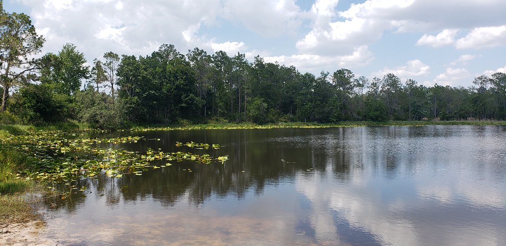 Powerline RoadHiking · ~2 min drivePhoto: Always Ascetic, Public Domain Dedication (CC0) (via Flickr)
 Golden Aster PreserveHiking · ~17 min drivePhoto: Always Ascetic, Public Domain Dedication (CC0) (via Flickr)
- Alafia Rver State Park TrailHiking · ~28 min drive
- Perimeter PathHiking · ~3 min drivePhoto: heytampa, CC BY 2.0 (via Flickr)
 Skyway TrailHiking · ~33 min drivePhoto: zoso8203, Public Domain Mark (via Flickr)
- Palmetto PassHiking · ~3 min drivePhoto: heytampa, CC BY 2.0 (via Flickr)
 Eagle LoopHiking · ~36 min drivePhoto: tehbieber, CC BY-SA 2.0 (via Flickr)
- Tortoise TrailHiking · ~3 min drivePhoto: heytampa, CC BY 2.0 (via Flickr)
- Emerson Point Park TrailHiking · ~32 min drive
- Golden Aster Scrub Preserve TrailHiking · ~18 min drivePhoto: Always Ascetic, Public Domain Dedication (CC0) (via Flickr)
Best time to visit Little Manatee River State Park Trail
Best months: October–April. Best months have typical highs of 55–85 °F, lows of 30 °F or warmer (32 °F where the station doesn't record snow), at most one snowy day and no more than 12 wet days.
Jan
72° / 51°
7 wet
Feb
75° / 53°
6 wet
Mar
78° / 57°
6 wet
Apr
83° / 62°
6 wet
May
88° / 67°
8 wet
Jun
90° / 72°
14 wet
Jul
91° / 73°
17 wet
Aug
91° / 74°
17 wet
Sep
90° / 73°
13 wet
Oct
85° / 67°
8 wet
Nov
79° / 58°
5 wet
Dec
74° / 54°
6 wet
Typical high / low (°F) and days with rain or snow, 1991–2020. Measured at Tampa Bay Area Wfo, FL, 3.7 mi away at 40 ft. This station doesn't record snowfall. Source: NOAA NCEI U.S. Climate Normals 1991–2020.

