Robert B Jenkins Trail
- 8.6 mi
- round trip
- 40 ft
- climb
- 32 ft
- high point
- Out and back
- route
Clear at last check
Weather is good · OpenWeather · checked 12 h ago
The Robert B Jenkins Trail is a moderate out-and-back hike in Florida, about 5.4 miles from the town of Cana. The route is 17.2 miles long, and the entire trip is nearly flat, with a high point of 32 feet and a low of 20 feet. The trail is rated moderate, and the total elevation gain and loss are each about 40 feet, so the climb is not a factor in the hike. The most comfortable months for a visit are typically the cooler part of the year. Typical averages from a nearby weather station in Stuart show January highs around 74°F with lows near 56°F, while July and August average highs of about 91°F and the most wet days of the year. The trip takes about six hours. For more time on foot, the Allapattah Flats Trail is about 7 miles away, and the Bluefield Ranch Preserve Trail is about 10 miles away.
Source: Roamze catalog (indexable pages within 10 miles, PostGIS distance)
 Jupiter Island TrailHiking · ~40 min drivePhoto: William “Patrick” Ma…, CC BY-SA 3.0 (via Wikimedia Commons)
- Saint Lucie Pinelands TrailHiking · ~18 min drive
- TrailHiking · ~20 min drive
 Blue Trail (Eeagle View, Jdsp)Hiking · ~41 min drivePhoto: mbarrison, CC BY-SA 2.0 (via Flickr)
- White Loop (Jdsp)Hiking · ~42 min drive
- Ocean to Lake Hiking TrailHiking · ~33 min drive
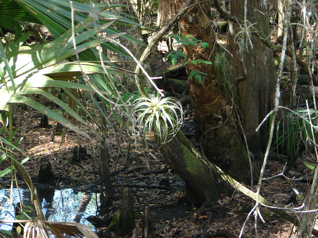 Red Trail (Eeagle View, Jdsp)Hiking · ~41 min drivePhoto: mbarrison, CC BY-SA 2.0 (via Flickr)
- J W Corbett Wildlife Management Area TrailHiking · ~46 min drive
 Yellow Trail (Eeagle View, Jdsp)Hiking · ~41 min drivePhoto: bob in swamp, CC BY 2.0 (via Flickr)
- Trans-Florida Rail TrailHiking · ~1h 7m drive

