Allapattah Flats Trail
- 25.4 mi
- one way
- 10 ft
- climb
- 38 ft
- high point
- Point to point
- route
- Nov–Apr
- best months
Allapattah Flats Trail is a 25.44-mile point-to-point trail in Florida with 118 feet of elevation gain and 153 feet of elevation loss. It is managed by Regional Water Districts.
- Robert B Jenkins TrailHiking7 mi
 Indiantown MarinaCampingPhoto: Idawriter, CC BY-SA 3.0 (via Wikimedia Commons)7.8 mi
- St Lucie SouthCamping8.6 mi
Source: Roamze catalog (indexable pages within 10 miles, PostGIS distance)
 Blue Trail (Eeagle View, Jdsp)Hiking · ~31 min drivePhoto: mbarrison, CC BY-SA 2.0 (via Flickr)
- Robert B Jenkins TrailHiking · ~12 min drive
- TrailHiking · ~17 min drive
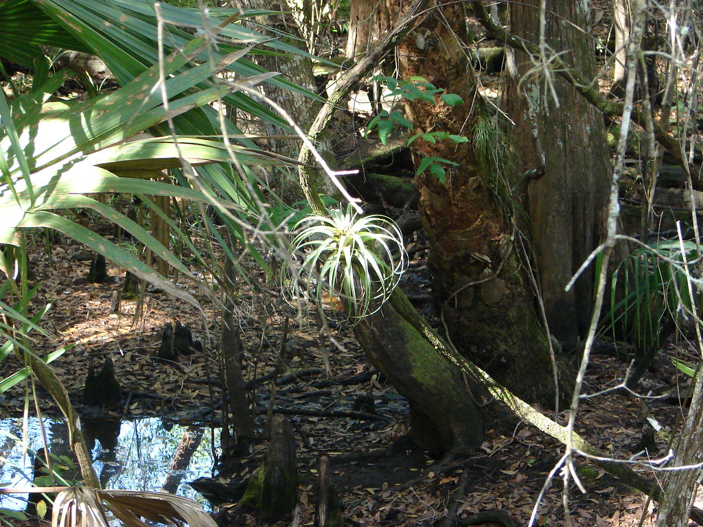 Red Trail (Eeagle View, Jdsp)Hiking · ~31 min drivePhoto: mbarrison, CC BY-SA 2.0 (via Flickr)
- Rafael E Sanchez Memorial TrailHiking · ~26 min drive
- Ocean to Lake Hiking TrailHiking · ~28 min drive
 Yellow Trail (Eeagle View, Jdsp)Hiking · ~31 min drivePhoto: bob in swamp, CC BY 2.0 (via Flickr)
- Saint Lucie Pinelands TrailHiking · ~30 min drive
- Blue Trail (Eeagle View, Jdsp)Hiking · ~32 min drivePhoto: bob in swamp, CC BY 2.0 (via Flickr)
- White Loop (Jdsp)Hiking · ~32 min drive
Best time to visit Allapattah Flats Trail
Best months: November–April. Best months have typical highs of 55–85 °F, lows of 30 °F or warmer (32 °F where the station doesn't record snow), at most one snowy day and no more than 12 wet days.
Jan
74° / 54°
7 wet
Feb
76° / 55°
7 wet
Mar
79° / 58°
7 wet
Apr
83° / 62°
8 wet
May
86° / 67°
10 wet
Jun
89° / 71°
14 wet
Jul
90° / 73°
16 wet
Aug
91° / 74°
17 wet
Sep
88° / 72°
16 wet
Oct
85° / 68°
13 wet
Nov
79° / 62°
10 wet
Dec
76° / 57°
9 wet
Typical high / low (°F) and days with rain or snow, 1991–2020. Measured at Port Salerno 5w, FL, 10.1 mi away at 12 ft. This station doesn't record snowfall. Source: NOAA NCEI U.S. Climate Normals 1991–2020.
