White Loop (Jdsp)
- 7.5 mi
- loop
- 11 ft
- climb
- 27 ft
- high point
- Loop
- route
- Nov–Apr
- best months
White Loop is a 7.5-mile hike in Jonathan Dickinson State Park in Florida, managed by State Park and Recreation. The route is rated moderate, with an elevation gain of about 11 feet, so it's a low-rise walk rather than a climb. The trail starts at roughly 10 feet and reaches a high point of about 27 feet, with the low point at about 3 feet. The most comfortable months for a visit are typically winter and early spring. Typical averages from a nearby weather station show January highs around 74°F with lows near 54°F, while summer brings highs near 90°F and more frequent wet days, peaking at about 17 in August. Bikes and horses are not allowed on this route. The closest trails are the Scrub Trail, about 1.2 miles away, and the Red Trail (Eagle View, JDSP), about 2.4 miles away. Blowing Rock Preserve, a climbing area, lies about 5 miles off.
Best time to go · Nov–Apr
Best time to visit White Loop (Jdsp)
Best months: November–April. Best months have typical highs of 55–85 °F, lows of 30 °F or warmer (32 °F where the station doesn't record snow), at most one snowy day and no more than 12 wet days.
Jan
74° / 54°
7 wet
Feb
76° / 55°
7 wet
Mar
79° / 58°
7 wet
Apr
83° / 62°
8 wet
May
86° / 67°
10 wet
Jun
89° / 71°
14 wet
Jul
90° / 73°
16 wet
Aug
91° / 74°
17 wet
Sep
88° / 72°
16 wet
Oct
85° / 68°
13 wet
Nov
79° / 62°
10 wet
Dec
76° / 57°
9 wet
Typical high / low (°F) and days with rain or snow, 1991–2020. Measured at Port Salerno 5w, FL, 9.1 mi away at 12 ft. This station doesn't record snowfall. Source: NOAA NCEI U.S. Climate Normals 1991–2020.
Keep exploring — more trails worth the drive
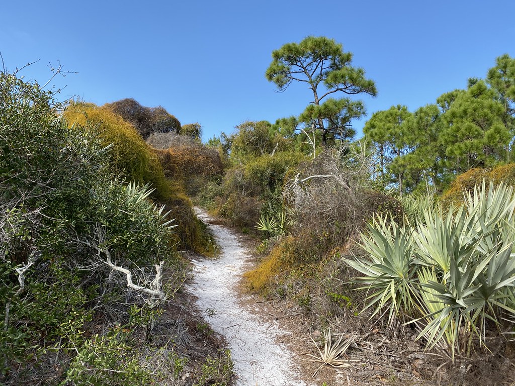 Photo: Judy Gallagher, CC BY 2.0 (via Flickr)
Scrub Trail
~2 min drive
0.31-mile out-and-back trail in Florida with 30 ft elevation gain
HIKE
Trail
~26 min drive
20.64-mile out-and-back trail in Florida with 113 ft gain.
HIKE
J W Corbett Wildlife Management Area Trail
~35 min drive
9.88-mile out-and-back trail in Florida with 107 ft elevation gain.
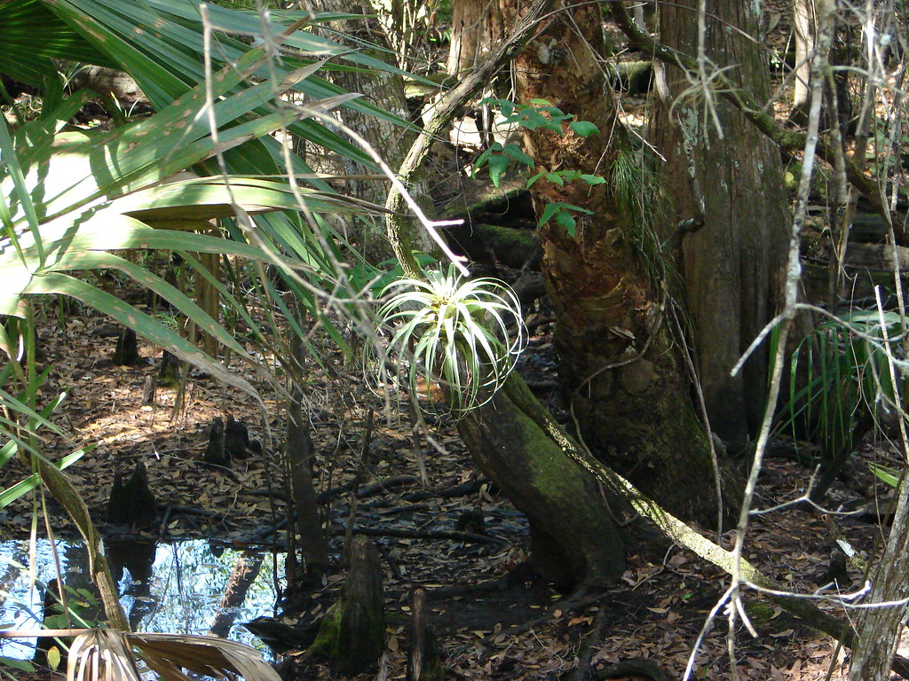 Photo: mbarrison, CC BY-SA 2.0 (via Flickr)
Red Trail (Eeagle View, Jdsp)
~4 min drive
4.58-mile loop trail in Florida with 72 ft gain.
HIKE
Ocean to Lake Hiking Trail
~52 min drive
A 62.76-mile point-to-point trail connecting Florida's ocean and lake regions.
HIKE
Robert B Jenkins Trail
~42 min drive
8.59-mile out-and-back trail in Florida with 39 ft of elevation gain.
 Photo: mbarrison, CC BY-SA 2.0 (via Flickr)
Blue Trail (Eeagle View, Jdsp)
~4 min drive
1.01-mile point-to-point trail in Florida with 33 ft gain.
HIKE
Rafael E Sanchez Memorial Trail
~52 min drive
5.71-mile out-and-back trail in Florida with 347 ft elevation gain.
 Photo: bob in swamp, CC BY 2.0 (via Flickr)
Yellow Trail (Eeagle View, Jdsp)
~5 min drive
1.15-mile point-to-point trail in Florida with 7 ft of elevation gain
HIKE
Saint Lucie Pinelands Trail
~59 min drive
6.79-mile out-and-back hike in Florida with 110 ft gain.

Map and trail data © OpenStreetMap contributors
