Bronson River Trail
- 11.1 mi
- one way
- 10 ft
- climb
- 25 ft
- high point
- Point to point
- route
- Oct–May
- best months
The Bronson River Trail is an easy, low-elevation hike in Florida's Charles H. Bronson State Forest, stretching about 11 miles with a total climb of just 10 feet. It is a point-to-point route, and the trail's highest point is 25 feet, with the steepest stretch at about 8.3 miles, where the grade reaches 5 percent. The trail is not suited to horses or bikes, so plan on walking it on foot. The most comfortable months for a visit are typically the cooler, drier stretch from November through April, when typical averages from a nearby weather station in Titusville run from highs around 69°F in January to about 79°F in April, with fewer wet days than the summer months, when highs reach the low 90s and rain falls on 13 to 15 days a month. Nearby, the Seminole Ranch Conservation Area Trail is about 3 miles away, and the Econlockhatchee River offers canoeing roughly 9 miles off. The Red Blaze Trail and White Blaze Trail are both within about 10 miles.
Local outfitters
Not on Roamze yet. Their page has how to reach them.
- Seminole Ranch Conservation Area TrailHiking2.9 mi
- Econlockhatchee RiverCanoeing8.9 mi
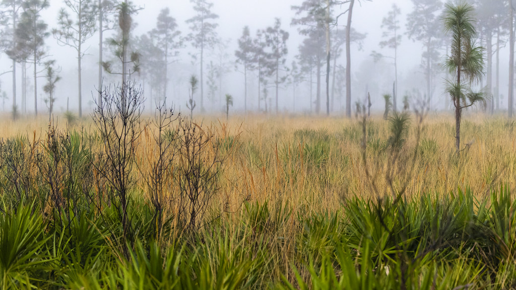 Red Blaze TrailHikingPhoto: gary_leavens, CC BY-SA 2.0 (via Flickr)9.7 mi
- White Blaze TrailHiking10 mi
Source: Roamze catalog (indexable pages within 10 miles, PostGIS distance)
- Red Blaze TrailHiking · ~17 min drivePhoto: gary_leavens, CC BY-SA 2.0 (via Flickr)
 Tosohatchee Wildlife Management Area TrailHiking · ~17 min drivePhoto: FartyBoi, CC BY-SA 4.0 (via Wikimedia Commons)
- Deseret Ranch TrailHiking · ~56 min drive
 Wekiwa Volksmarch TrailHiking · ~52 min drivePhoto: gary_leavens, CC BY-SA 2.0 (via Wikimedia Commons)
 Lower Wekiva River Preserve State Park TrailHiking · ~50 min drivePhoto: gary_leavens, CC BY-SA 2.0 (via Flickr)
- White Blaze TrailHiking · ~17 min drive
- Wekiwa East-WestHiking · ~52 min drivePhoto: gary_leavens, CC BY-SA 2.0 (via Wikimedia Commons)
- Yellow Blaze TrailHiking · ~17 min drive
 Longhorn Steakhouse LoopHiking · ~55 min drivePhoto: k7hpn, CC BY 2.0 (via Flickr)
- Lower Wekiva Loop - Outer 11MiHiking · ~51 min drive
Best time to visit Bronson River Trail
Best months: October–May. Best months have typical highs of 55–85 °F, lows of 30 °F or warmer (32 °F where the station doesn't record snow), at most one snowy day and no more than 12 wet days.
Jan
69° / 50°
8 wet
Feb
71° / 53°
6 wet
Mar
75° / 57°
7 wet
Apr
79° / 63°
6 wet
May
84° / 69°
8 wet
Jun
88° / 73°
13 wet
Jul
90° / 74°
14 wet
Aug
89° / 75°
15 wet
Sep
87° / 74°
14 wet
Oct
83° / 69°
10 wet
Nov
76° / 61°
7 wet
Dec
71° / 54°
8 wet
Typical high / low (°F) and days with rain or snow, 1991–2020. Measured at Titusville, FL, 11.8 mi away at 16 ft. Source: NOAA NCEI U.S. Climate Normals 1991–2020.

Map and trail data © OpenStreetMap contributors
