Whitley Farms Trail
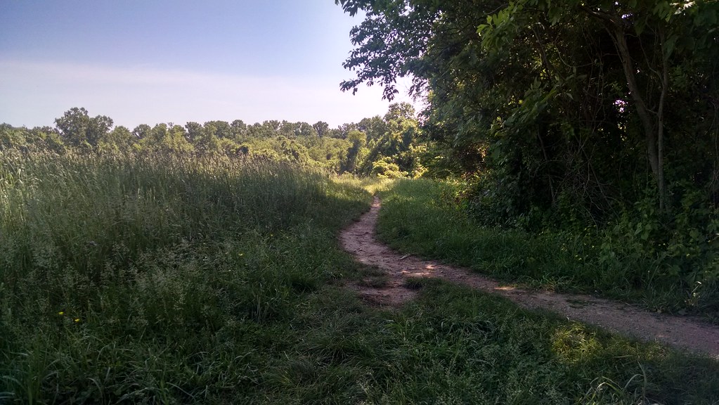 Photo: alex_cuse, CC BY 2.0 (via Flickr)
- 1.6 mi
- round trip
- 684 ft
- climb
- 397 ft
- high point
- Out and back
- route
- Apr–Jun, Sep–Nov
- best months
Whitley Farms Trail is an easy out-and-back hike in White Clay Creek State Park in Delaware, managed by State Park and Recreation. The trail is about 3 miles long, with a total elevation gain of 684 feet, and it reaches a high point of 397 feet. The climb is steady, and the steepest stretch comes at about 1.3 miles in, with a grade of 11 percent. Spring and fall are the most comfortable times to go. Typical averages from a nearby weather station in Newark run to highs around 67°F in April and 69°F in October, while July highs average about 89°F. That station sits roughly 290 feet lower than the trail's high point, so temperatures on the trail run a little cooler. The hike takes about 1.5 hours. The trail starts within the park, and other trails close by include the David English Trail and the Paper Mill Park Connector Trail. White Clay Creek, a paddling route, is about 3 miles away.
Local outfitters
- Strasburg Scooters & Tours29 mi away
- Amish Buggy Rides30 mi away
Not on Roamze yet. Their page has how to reach them.
- Whitely Farms TrailHiking0.5 mi
- David English TrailHikingPhoto: alex_cuse, CC BY 2.0 (via Flickr)0.6 mi
- Paper Mill Park Connector TrailHikingPhoto: alex_cuse, CC BY 2.0 (via Flickr)1.1 mi
 White Clay CreekCanoeingPhoto: Lowell Silverman, CC BY-SA 2.5 (via Wikimedia Commons)2.9 mi
- Becks PondLake fishing7.5 mi
- Spacklehead BoulderRock climbing9.3 mi
- Lower TierRock climbing9.4 mi
- Rockford ParkRock climbing9.4 mi
Source: Roamze catalog (indexable pages within 10 miles, PostGIS distance)
- David English TrailHiking · Next doorPhoto: alex_cuse, CC BY 2.0 (via Flickr)
- Whitely Farms TrailHiking · Next door
- Paper Mill Park Connector TrailHiking · ~2 min drivePhoto: alex_cuse, CC BY 2.0 (via Flickr)
- Springlawn TrailHiking · ~12 min drive
 Lenape TrailHiking · ~3 min drivePhoto: alex_cuse, CC BY 2.0 (via Flickr)
- Northern Delaware GreenwayHiking · ~18 min drive
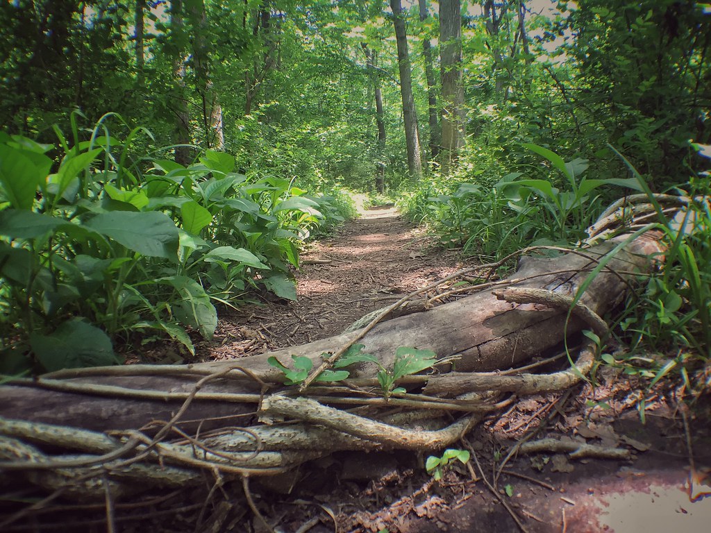 Brandywine TrailHiking · ~17 min drivePhoto: Ryanjwalker, CC BY 2.0 (via Flickr)
- Creekside TrailHiking · ~17 min drivePhoto: Ryanjwalker, CC BY 2.0 (via Flickr)
- Hidden PondHiking · ~18 min drivePhoto: Ryanjwalker, CC BY 2.0 (via Flickr)
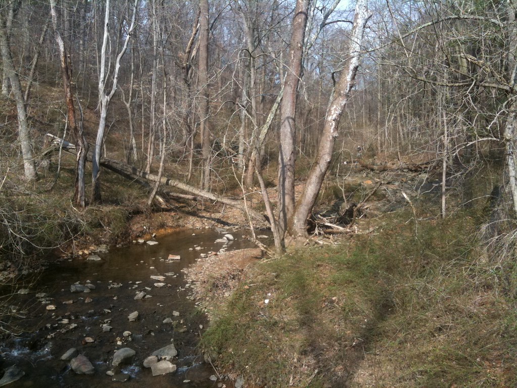 Rocky RunHiking · ~19 min drivePhoto: diaper, CC BY 2.0 (via Flickr)
Best time to visit Whitley Farms Trail
Best months: April–June and September–November. Best months have typical highs of 55–85 °F, lows of 30 °F or warmer (32 °F where the station doesn't record snow), at most one snowy day and no more than 12 wet days.
Jan
43° / 25°
9 wet
Feb
46° / 25°
8 wet
Mar
54° / 33°
11 wet
Apr
67° / 42°
11 wet
May
76° / 52°
11 wet
Jun
84° / 62°
9 wet
Jul
89° / 66°
9 wet
Aug
87° / 65°
9 wet
Sep
79° / 58°
8 wet
Oct
69° / 46°
8 wet
Nov
57° / 36°
8 wet
Dec
47° / 30°
10 wet
Typical high / low (°F) and days with rain or snow, 1991–2020. Measured at Newark Ag Farm, DE, 4 mi away at 106 ft. This station doesn't record snowfall. Source: NOAA NCEI U.S. Climate Normals 1991–2020.
Map and trail data © OpenStreetMap contributors
