Springlawn Trail
- 2.1 mi
- round trip
- 1,168 ft
- climb
- 326 ft
- high point
- Out and back
- route
- Apr–Jun, Sep–Nov
- best months
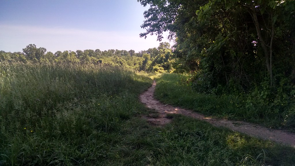
Springlawn Trail is a 4.1-mile out-and-back hike in Big Elk Creek State Park, Pennsylvania, an outing with a steady climb to a high point of 326 feet and a total elevation gain of 1,168 feet. The trail's starting point sits at about 245 feet, and the steepest stretch comes around the 1.9-mile mark, where the grade reaches 13 percent. Fall is a comfortable time to go. Typical averages from a nearby weather station in Newark, Delaware, run to highs near 69°F in October with lows around 46°F, and the station sits about 220 feet lower than the trail's high point, so temperatures on the trail run a little cooler. The hike takes about two hours. Chrome Trail and Laurel Trail are both about 3.4 miles away, and paddlers can find White Clay Creek about 5 miles off. Across the state line in Delaware, the David English Trail lies roughly 6.6 miles away.
Local outfitters
- Strasburg Scooters & Tours24 mi away
- Amish Buggy Rides25 mi away
Not on Roamze yet. Their page has how to reach them.
- Chrome TrailHiking3.4 mi
- Laurel TrailHiking3.4 mi
 White Clay CreekCanoeingPhoto: Lowell Silverman, CC BY-SA 2.5 (via Wikimedia Commons)5.2 mi
 David English TrailHikingPhoto: alex_cuse, CC BY 2.0 (via Flickr)6.6 mi
- Whitely Farms TrailHiking6.7 mi
- Whitley Farms TrailHikingPhoto: alex_cuse, CC BY 2.0 (via Flickr)7.1 mi
- Paper Mill Park Connector TrailHikingPhoto: alex_cuse, CC BY 2.0 (via Flickr)7.9 mi
- Mason-Dixon ArchRock climbing9 mi
Source: Roamze catalog (indexable pages within 10 miles, PostGIS distance)
- David English TrailHiking · ~11 min drivePhoto: alex_cuse, CC BY 2.0 (via Flickr)
 Mason-Dixon TrailHiking · ~29 min drivePhoto: Mrs. Gemstone, CC BY-SA 2.0 (via Flickr)
- Whitely Farms TrailHiking · ~11 min drive
- Whitley Farms TrailHiking · ~12 min drivePhoto: alex_cuse, CC BY 2.0 (via Flickr)
- Rock Run TrailHiking · ~29 min drive
- Paper Mill Park Connector TrailHiking · ~14 min drivePhoto: alex_cuse, CC BY 2.0 (via Flickr)
- Northern Delaware GreenwayHiking · ~29 min drive
 Lenape TrailHiking · ~14 min drivePhoto: alex_cuse, CC BY 2.0 (via Flickr)
 Hill and Hollow TrailHiking · ~24 min drivePhoto: CanonJim, CC BY-SA 3.0 (via Wikimedia Commons)
- Forest Loop TrailHiking · ~24 min drivePhoto: CanonJim, CC BY-SA 3.0 (via Wikimedia Commons)
Best time to visit Springlawn Trail
Best months: April–June and September–November. Best months have typical highs of 55–85 °F, lows of 30 °F or warmer (32 °F where the station doesn't record snow), at most one snowy day and no more than 12 wet days.
Jan
43° / 25°
9 wet
Feb
46° / 25°
8 wet
Mar
54° / 33°
11 wet
Apr
67° / 42°
11 wet
May
76° / 52°
11 wet
Jun
84° / 62°
9 wet
Jul
89° / 66°
9 wet
Aug
87° / 65°
9 wet
Sep
79° / 58°
8 wet
Oct
69° / 46°
8 wet
Nov
57° / 36°
8 wet
Dec
47° / 30°
10 wet
Typical high / low (°F) and days with rain or snow, 1991–2020. Measured at Newark Ag Farm, DE, 8.3 mi away at 106 ft. This station doesn't record snowfall. Source: NOAA NCEI U.S. Climate Normals 1991–2020.
Map and trail data © OpenStreetMap contributors
