Creekside Trail
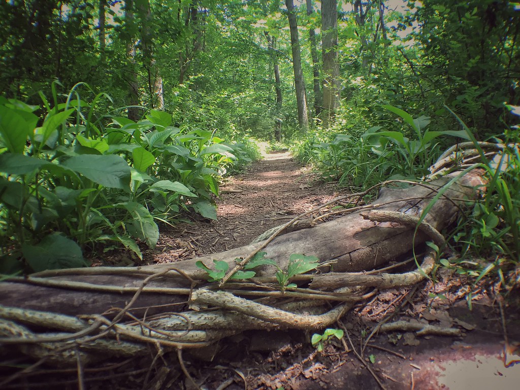 Photo: Ryanjwalker, CC BY 2.0 (via Flickr)
- 2.0 mi
- one way
- 143 ft
- high point
- Point to point
- route
- Easy
- difficulty
- Apr–Oct
- best months
Creekside Trail is an easy, nearly flat hike in Brandywine Creek State Park in Delaware, managed by State Park and Recreation. The trail is about 2 miles long and runs from a low point of about 130 feet to a high of about 143 feet, with the steepest stretch at about 0.2 miles in, where the grade reaches 7 percent. It is a point-to-point route, so plan on a round trip of about 4 miles. The trail is open to both horses and bikes, which makes it a flexible option for riders and equestrians. It sits within the park's trail network, and the Brandywine Trail and the Brandywine Creek fishing area are each about 0.1 mile away, so it's easy to pair this walk with time on the water or another short hike. For comfortable weather, aim for late spring or early fall. Typical averages from a nearby weather station in Wilmington show May highs around 71°F and September highs around 75°F, with July the warmest month at about 84°F. Winter is cold, with January highs near 38°F and a few snowy days each month from December through February. Nearby options include Hidden Pond, about 0.6 mile away, and Rocky Run, about 1.1 mile away. Climbers can find the Lower Tier and Spearhead Boulder areas about 2 miles off.
Local outfitters
- Bartram's Garden22 mi away
- Amish Buggy Rides34 mi away
Not on Roamze yet. Their page has how to reach them.
Best time to go · Apr–Oct
Best time to visit Creekside Trail
Best months: April–October. Best months have typical highs of 55–85 °F, lows of 30 °F or warmer (32 °F where the station doesn't record snow), at most one snowy day and no more than 12 wet days.
Jan
38° / 24°
10 wet · 2 snow
Feb
41° / 25°
9 wet · 2 snow
Mar
49° / 32°
10 wet · 1 snow
Apr
61° / 43°
10 wet
May
71° / 52°
11 wet
Jun
79° / 62°
10 wet
Jul
84° / 67°
9 wet
Aug
82° / 66°
9 wet
Sep
75° / 59°
8 wet
Oct
63° / 47°
9 wet
Nov
53° / 37°
8 wet
Dec
43° / 29°
10 wet · 1 snow
Typical high / low (°F) and days with rain or snow, 1991–2020. Measured at Wilmington Porter Rsch, DE, 2.4 mi away at 270 ft. Source: NOAA NCEI U.S. Climate Normals 1991–2020.
Keep exploring — more trails worth the drive
Photo: Ryanjwalker, CC BY 2.0 (via Flickr)Brandywine Trail
Next door
Gentle creek-side point-to-point trail through Delaware's Brandywine corridor.
HIKE
Northern Delaware Greenway
~4 min drive
A 7.72-mile point-to-point greenway through northern Delaware's natural areas.
HIKE
Mt. Joy Loop
~37 min drive
0.8-mile out-and-back trail in Pennsylvania with 142 ft of elevation gain.
Photo: Ryanjwalker, CC BY 2.0 (via Flickr)Hidden Pond
~1 min drive
1.45-mile loop trail in Delaware with 608 ft elevation gain.
HIKE
Whitely Farms Trail
~18 min drive
2.62-mile out-and-back trail in Delaware with 1,071 ft elevation gain
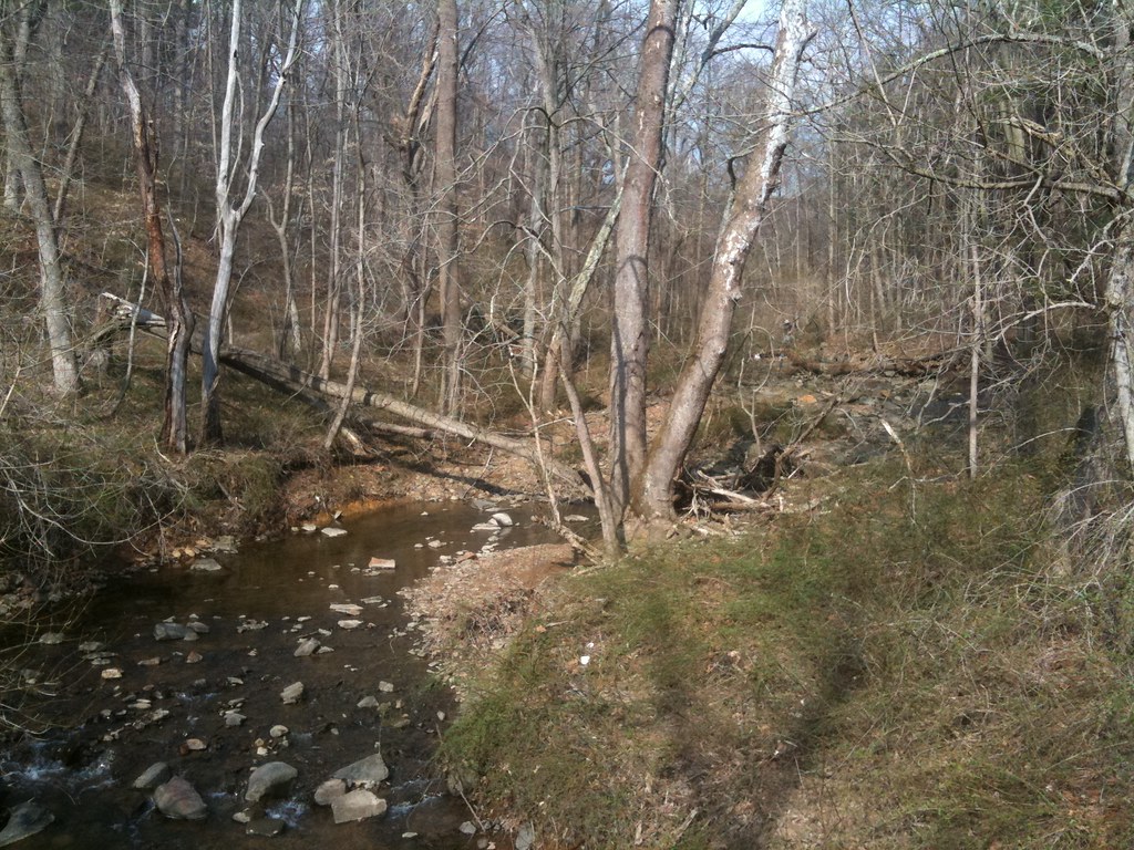 Photo: diaper, CC BY 2.0 (via Flickr)
Rocky Run
~2 min drive
1.78-mile loop trail in Delaware with 567 ft elevation gain.
HIKE
Springlawn Trail
~28 min drive
4.14-mile out-and-back trail in Pennsylvania with 1,168 ft elevation gain
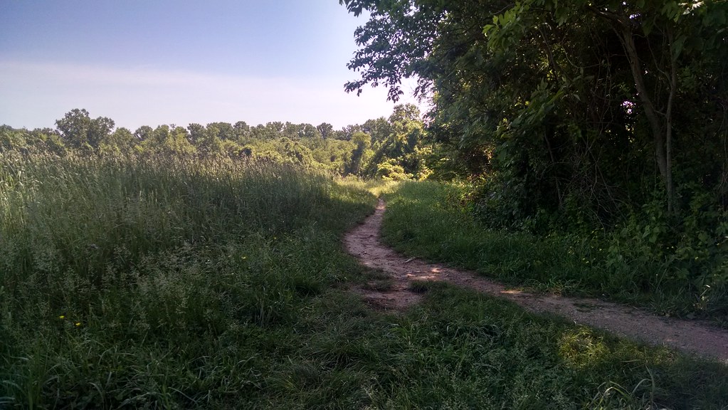 Photo: alex_cuse, CC BY 2.0 (via Flickr)
Paper Mill Park Connector Trail
~16 min drive
2.18-mile out-and-back trail in Delaware with 434 ft elevation gain
HIKE
Horse-Shoe Trail
~32 min drive
4.86-mile out-and-back trail in Pennsylvania with 1,010 ft elevation gain
 Photo: alex_cuse, CC BY 2.0 (via Flickr)
Lenape Trail
~17 min drive
2.6-mile out-and-back trail in Delaware with 571 ft elevation gain.
Map and trail data © OpenStreetMap contributors
