Boy Scouts of America Troop 44
Campground
Campground · 1.4 mi from the trail
Haddam Meadows Boat Launch is a state-managed boat launch in Connecticut, about 2.7 miles from the town of Higganum. The State of Connecticut oversees the site, and it serves as a put-in for boaters heading onto the water in this corner of the state. Summer is the warmest stretch for getting on the water. Typical averages from a nearby weather station show July highs around 84°F with lows near 63°F, while September cools to highs around 75°F. Several other outdoor spots sit within a few miles. The Salmon River Trail and Wildwood Trail are both hikes about 2.4 miles away, and the Higganum Creek paddling route is about 2.7 miles off. For an overnight stay, Shepherd's Nine campground lies roughly 7.5 miles away.
Boy Scouts of America Troop 44
Campground
 If it rainsJoe Mabel, CC BY-SA 3.0 · Wikimedia Commons
Davison Art Center
Gallery
University art museum in Middletown, Connecticut
Places © OpenStreetMap contributors, Places © Overture Maps Foundation · Photos: Joe Mabel, CC BY-SA 3.0 (commons)
More in Middletown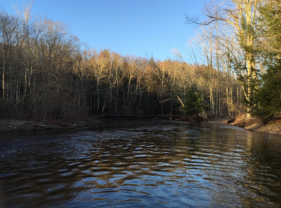 Salmon RiverCanoeingPhoto: J. G. Coleman, CC BY-SA 4.0 (via Wikimedia Commons)7.4 mi
Source: Roamze catalog (indexable pages within 10 miles, PostGIS distance)
Salmon RiverCanoeing · ~13 min drivePhoto: J. G. Coleman, CC BY-SA 4.0 (via Wikimedia Commons) Coginchaug RiverCanoeing · ~17 min drivePhoto: Ceolaf, CC BY-SA 3.0 (via Wikimedia Commons)
 Hop RiverCanoeing · ~34 min drivePhoto: John Phelan, CC BY 4.0 (via Wikimedia Commons)
Best months: April and June–October. Best months have typical highs of 55–85 °F, lows of 30 °F or warmer (32 °F where the station doesn't record snow), at most one snowy day and no more than 12 wet days.
Jan
37° / 19°
10 wet
Feb
39° / 20°
9 wet
Mar
47° / 28°
10 wet
Apr
60° / 38°
11 wet
May
70° / 48°
13 wet
Jun
79° / 57°
12 wet
Jul
84° / 63°
12 wet
Aug
82° / 61°
12 wet
Sep
75° / 54°
11 wet
Oct
64° / 42°
12 wet
Nov
52° / 32°
10 wet
Dec
42° / 24°
11 wet
Typical high / low (°F) and days with rain or snow, 1991–2020. Measured at Meriden Markham Muni Ap, CT, 16.8 mi away at 103 ft. This station doesn't record snowfall. Source: NOAA NCEI U.S. Climate Normals 1991–2020.
Map and trail data © OpenStreetMap contributors


