West Thompson Lake Campground
Campground
Campground · 0.9 mi from the trail
 Photo: Magicpiano, CC BY-SA 3.0 (via Wikimedia Commons)
Clear at last check
Weather is good · OpenWeather · checked 22 h ago
Shoreline Trail is a 4.4-mile point-to-point hike in Connecticut, about a mile from the community of Grosvenor Dale. It is an easy walk with a low elevation gain of 69 feet, so it suits a short outing or a stop on the way to another destination in the area. The trail rises from about 308 feet to about 346 feet, and the steepest stretch comes at mile 3.6, where the grade reaches about 12 percent. Bikes are allowed, so it works for riders as well as hikers. Late spring and early fall are the most comfortable times to go. Typical averages from a nearby weather station at West Thompson Lake show May highs around 69°F and September highs around 73°F, with July the warmest month at about 82°F. Several other trails sit close by. Ravenelle Ponds Loop is just 0.1 mile away, the Quinebaug River Trail is 0.3 mile off, and Lost Trail is 0.6 mile away. West Thompson Lake Campground is about a mile from the trail.
West Thompson Lake Campground
Campground
 If it rainsMarcbela (Marc N. Belanger), Public domain · Wikimedia Commons
Clara Barton Homestead
Museum
Homestead in Oxford, Massachusetts
Places © OpenStreetMap contributors · Photos: Marcbela (Marc N. Belanger), Public domain (commons)
More in Danielson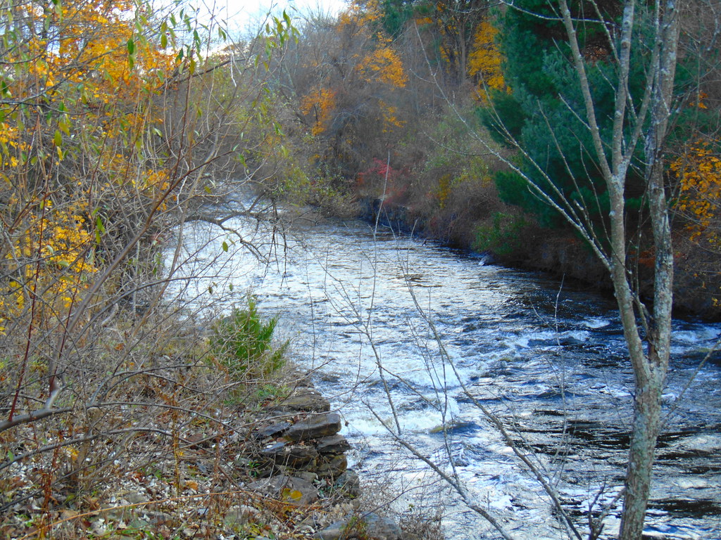 Ravenelle Ponds LoopHikingPhoto: jjbers, CC BY 2.0 (via Flickr)0.1 miQuinebaug River TrailHikingPhoto: Magicpiano, CC BY-SA 3.0 (via Wikimedia Commons)0.3 mi
 Lost TrailHikingPhoto: Magicpiano, CC BY-SA 3.0 (via Wikimedia Commons)0.6 mi
Source: Roamze catalog (indexable pages within 10 miles, PostGIS distance)
Ravenelle Ponds LoopHiking · Next doorPhoto: jjbers, CC BY 2.0 (via Flickr)Quinebaug River TrailHiking · Next doorPhoto: Magicpiano, CC BY-SA 3.0 (via Wikimedia Commons)Lost TrailHiking · ~1 min drivePhoto: Magicpiano, CC BY-SA 3.0 (via Wikimedia Commons)Woodland Walk TrailHiking · ~1 min drivePhoto: jjbers, CC BY 2.0 (via Flickr)Loop TrailHiking · ~2 min drivePhoto: Magicpiano, CC BY-SA 3.0 (via Wikimedia Commons)Outer Loop TrailHiking · ~2 min drivePhoto: Magicpiano, CC BY-SA 3.0 (via Wikimedia Commons)Viewpoint TrailHiking · ~2 min drivePhoto: Magicpiano, CC BY-SA 3.0 (via Wikimedia Commons)Best months: April–October. Best months have typical highs of 55–85 °F, lows of 30 °F or warmer (32 °F where the station doesn't record snow), at most one snowy day and no more than 12 wet days.
Jan
35° / 15°
11 wet · 4 snow
Feb
38° / 16°
10 wet · 3 snow
Mar
46° / 24°
11 wet · 2 snow
Apr
58° / 34°
11 wet
May
69° / 45°
12 wet
Jun
76° / 54°
11 wet
Jul
82° / 60°
11 wet
Aug
80° / 58°
10 wet
Sep
73° / 51°
9 wet
Oct
61° / 38°
10 wet
Nov
50° / 30°
10 wet · 1 snow
Dec
40° / 22°
11 wet · 2 snow
Typical high / low (°F) and days with rain or snow, 1991–2020. Measured at W Thompson Lake, CT, 1.3 mi away at 360 ft. Source: NOAA NCEI U.S. Climate Normals 1991–2020.
Map and trail data © OpenStreetMap contributors

