West Thompson Lake Campground
Campground
Campground · 0.3 mi from the trail
 Photo: Magicpiano, CC BY-SA 3.0 (via Wikimedia Commons)
Lost Trail is an easy 1.3-mile loop hike in Connecticut, about 0.7 miles from the community of Grosvenor Dale. The route rises from a starting point around 400 feet to a high point of 436 feet, with a total elevation gain of 159 feet. The climb is front-loaded, with the steepest stretch around 0.28 miles in, where the grade reaches about 10 percent, and the trail ends with a small drop of 23 feet back to the start. The hike takes about half an hour to complete. Bikes are allowed, so it works well for a quick ride as well as a walk. The weather is mild year-round. Typical averages from the nearby W Thompson Lake weather station show June highs around 76°F and September highs around 73°F, with snow days scattered through winter. Woodland Walk Trail and West Thompson Lake Campground are both about 0.3 miles away, and the Quinebaug River Trail is about half a mile off. For paddling, the Little River is roughly 2.8 miles away.
West Thompson Lake Campground
Campground
 If it rainsMarcbela (Marc N. Belanger), Public domain · Wikimedia Commons
Clara Barton Homestead
Museum
Homestead in Oxford, Massachusetts
Places © OpenStreetMap contributors · Photos: Marcbela (Marc N. Belanger), Public domain (commons)
More in Danielson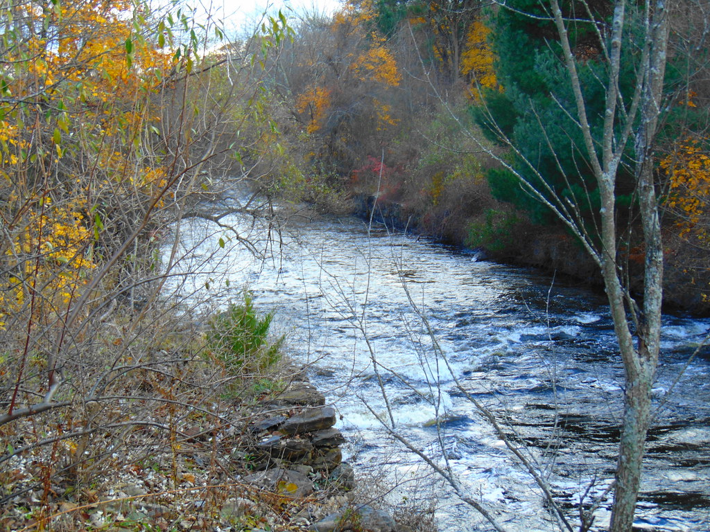 Woodland Walk TrailHikingPhoto: jjbers, CC BY 2.0 (via Flickr)0.3 mi
 Quinebaug River TrailHikingPhoto: Magicpiano, CC BY-SA 3.0 (via Wikimedia Commons)0.5 miShoreline TrailHikingPhoto: Magicpiano, CC BY-SA 3.0 (via Wikimedia Commons)0.6 mi
 Fivemile RiverCanoeingPhoto: Pi.1415926535, CC BY-SA 4.0 (via Wikimedia Commons)3.6 mi
Source: Roamze catalog (indexable pages within 10 miles, PostGIS distance)
Woodland Walk TrailHiking · Next doorPhoto: jjbers, CC BY 2.0 (via Flickr)Quinebaug River TrailHiking · Next doorPhoto: Magicpiano, CC BY-SA 3.0 (via Wikimedia Commons)Shoreline TrailHiking · ~1 min drivePhoto: Magicpiano, CC BY-SA 3.0 (via Wikimedia Commons)Ravenelle Ponds LoopHiking · ~1 min drivePhoto: jjbers, CC BY 2.0 (via Flickr)Loop TrailHiking · ~3 min drivePhoto: Magicpiano, CC BY-SA 3.0 (via Wikimedia Commons)Outer Loop TrailHiking · ~3 min drivePhoto: Magicpiano, CC BY-SA 3.0 (via Wikimedia Commons)Viewpoint TrailHiking · ~3 min drivePhoto: Magicpiano, CC BY-SA 3.0 (via Wikimedia Commons)Best months: April–October. Best months have typical highs of 55–85 °F, lows of 30 °F or warmer (32 °F where the station doesn't record snow), at most one snowy day and no more than 12 wet days.
Jan
35° / 15°
11 wet · 4 snow
Feb
38° / 16°
10 wet · 3 snow
Mar
46° / 24°
11 wet · 2 snow
Apr
58° / 34°
11 wet
May
69° / 45°
12 wet
Jun
76° / 54°
11 wet
Jul
82° / 60°
11 wet
Aug
80° / 58°
10 wet
Sep
73° / 51°
9 wet
Oct
61° / 38°
10 wet
Nov
50° / 30°
10 wet · 1 snow
Dec
40° / 22°
11 wet · 2 snow
Typical high / low (°F) and days with rain or snow, 1991–2020. Measured at W Thompson Lake, CT, 1.1 mi away at 360 ft. Source: NOAA NCEI U.S. Climate Normals 1991–2020.
Map and trail data © OpenStreetMap contributors
