West Thompson Lake Campground
Campground
Campground · 1.9 mi from the trail
 Photo: Magicpiano, CC BY-SA 3.0 (via Wikimedia Commons)
Outer Loop Trail is a 1.17-mile point-to-point trail in Connecticut with 206 feet of elevation gain and 266 feet of elevation loss.
West Thompson Lake Campground
Campground
 If it rainsMarcbela (Marc N. Belanger), Public domain · Wikimedia Commons
Clara Barton Homestead
Museum
Homestead in Oxford, Massachusetts
Places © OpenStreetMap contributors · Photos: Marcbela (Marc N. Belanger), Public domain (commons)
More in DanielsonBest months: April–October. Best months have typical highs of 55–85 °F, lows of 30 °F or warmer (32 °F where the station doesn't record snow), at most one snowy day and no more than 12 wet days.
Jan
35° / 15°
11 wet · 4 snow
Feb
38° / 16°
10 wet · 3 snow
Mar
46° / 24°
11 wet · 2 snow
Apr
58° / 34°
11 wet
May
69° / 45°
12 wet
Jun
76° / 54°
11 wet
Jul
82° / 60°
11 wet
Aug
80° / 58°
10 wet
Sep
73° / 51°
9 wet
Oct
61° / 38°
10 wet
Nov
50° / 30°
10 wet · 1 snow
Dec
40° / 22°
11 wet · 2 snow
Typical high / low (°F) and days with rain or snow, 1991–2020. Measured at W Thompson Lake, CT, 1.9 mi away at 360 ft. Source: NOAA NCEI U.S. Climate Normals 1991–2020.
Photo: Magicpiano, CC BY-SA 3.0 (via Wikimedia Commons)Viewpoint Trail
Next door
0.57-mile point-to-point trail in Connecticut with 65 ft gain
 Photo: Magicpiano, CC BY-SA 3.0 (via Wikimedia Commons)
Quinebaug River Trail
~2 min drive
Scenic 5-mile riverside point-to-point hike along the Quinebaug River.
HIKE
Southern New England Trunkline Trail
~15 min drive
21.68-mile out-and-back trail in Massachusetts with 1,572 ft elevation gain
Photo: Magicpiano, CC BY-SA 3.0 (via Wikimedia Commons)Loop Trail
Next door
0.37-mile point-to-point trail in Connecticut with 40 ft gain
HIKE
Center Trail
~13 min drive
6.52-mile out-and-back hike in Rhode Island with 616 ft elevation gain.
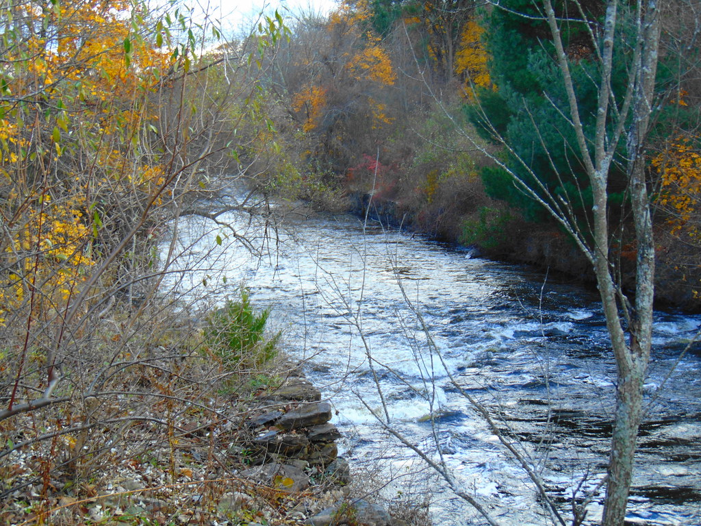 Photo: jjbers, CC BY 2.0 (via Flickr)
Ravenelle Ponds Loop
~2 min drive
1.51-mile loop trail in Connecticut with 155 ft gain and 286 ft loss.
HIKE
George Washington Orange Trail
~14 min drive
5.06-mile out-and-back trail in Rhode Island with 563 ft elevation gain.
Photo: Magicpiano, CC BY-SA 3.0 (via Wikimedia Commons)Shoreline Trail
~2 min drive
A scenic 4.32-mile point-to-point coastal hike in Connecticut.
Photo: Magicpiano, CC BY-SA 3.0 (via Wikimedia Commons)Lost Trail
~3 min drive
A short point-to-point woodland walk through Connecticut forest.
Photo: jjbers, CC BY 2.0 (via Flickr)Woodland Walk Trail
~3 min drive
Easy woodland point-to-point trail perfect for a quick nature walk.
Map and trail data © OpenStreetMap contributors

