Camp Laurelwood
Campground
Campground · 6.3 mi from the trail
 Photo: MattHurst, CC BY-SA 2.0 (via Flickr)
Red Rectangle is a short, easy hike in Connecticut, about 1.1 miles from the town of Guilford. The route is a point-to-point walk of roughly 0.44 miles, with a total elevation gain of 27 feet and a total loss of 51 feet. The climb is flat, and the steepest stretch comes early, at about 3% grade. Late spring and early fall are the most comfortable times to go. Typical averages from a nearby weather station in New Haven show May highs around 68°F and September highs around 75°F, with July the warmest month at about 82°F. Spencers Creek Trail and Yellow Triangle are both about 0.3 miles away, and White Circle is about 0.8 miles off. Climbers can head to Westwoods (Cockaponset State Forest), also about 0.8 miles away.
Camp Laurelwood
Campground
Little Red BarN
Bar
 If it rainsVersageek, CC BY-SA 3.0 · Wikimedia Commons
Thomas Griswold House
Museum
Places © OpenStreetMap contributors · Photos: Versageek, CC BY-SA 3.0 (commons)
More in MiddletownBest months: April and June–October. Best months have typical highs of 55–85 °F, lows of 30 °F or warmer (32 °F where the station doesn't record snow), at most one snowy day and no more than 12 wet days.
Jan
38° / 23°
10 wet
Feb
40° / 24°
8 wet
Mar
47° / 30°
10 wet
Apr
58° / 39°
11 wet
May
68° / 49°
13 wet
Jun
76° / 59°
11 wet
Jul
82° / 66°
11 wet
Aug
81° / 65°
10 wet
Sep
75° / 57°
9 wet
Oct
64° / 46°
11 wet
Nov
53° / 36°
10 wet
Dec
44° / 29°
11 wet
Typical high / low (°F) and days with rain or snow, 1991–2020. Measured at New Haven Tweed Ap, CT, 9.8 mi away at 3 ft. This station doesn't record snowfall. Source: NOAA NCEI U.S. Climate Normals 1991–2020.
 Photo: versageek, CC BY-SA 2.0 (via Flickr)
Yellow Triangle
Next door
0.83-mile point-to-point trail in Connecticut with 79 ft gain.
 Photo: versageek, CC BY-SA 2.0 (via Flickr)
New England National Scenic Trail
~3 min drive
112.68-mile point-to-point trail in Connecticut with 15,921 ft gain
 Photo: ethan.long, CC BY-SA 2.0 (via Flickr)
White Circle
~1 min drive
White Circle is a 3.15-mile point-to-point trail in Connecticut with 585 ft of elevation gain.
Photo: ethan.long, CC BY-SA 2.0 (via Flickr)Yellow Circle
~2 min drive
Easy 1.57-mile point-to-point trail in Connecticut.
Photo: versageek, CC BY-SA 2.0 (via Flickr)Jared Eliot
~2 min drive
0.81-mile point-to-point trail in Connecticut with 20 ft gain.
 Photo: versageek, CC BY-SA 2.0 (via Flickr)
Paul Trail
~3 min drive
1.38-mile point-to-point trail in Connecticut with 91 ft gain
Photo: ethan.long, CC BY-SA 2.0 (via Flickr)Big Maple
~4 min drive
1.17-mile loop trail in Connecticut with 157 ft gain.
 Photo: versageek, CC BY-SA 2.0 (via Flickr)
Power Line Trail
~5 min drive
0.88-mile point-to-point hike in Connecticut with 169 ft gain
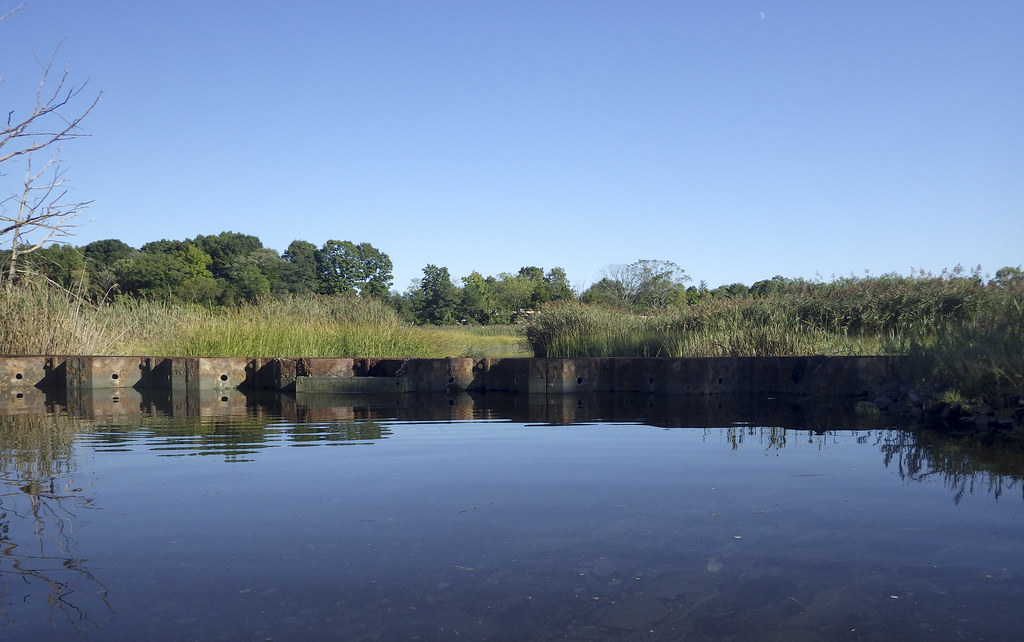 Photo: versageek, CC BY-SA 2.0 (via Flickr)
Ann Connover Nature Trail
~5 min drive
0.92-mile loop trail in Connecticut with 280 ft elevation gain.
 Photo: versageek, CC BY-SA 2.0 (via Flickr)
White Trail
~5 min drive
A short point-to-point Connecticut trail perfect for a quick woodland walk.
Map and trail data © OpenStreetMap contributors
