Camp Laurelwood
Campground
Campground · 4.0 mi from the trail
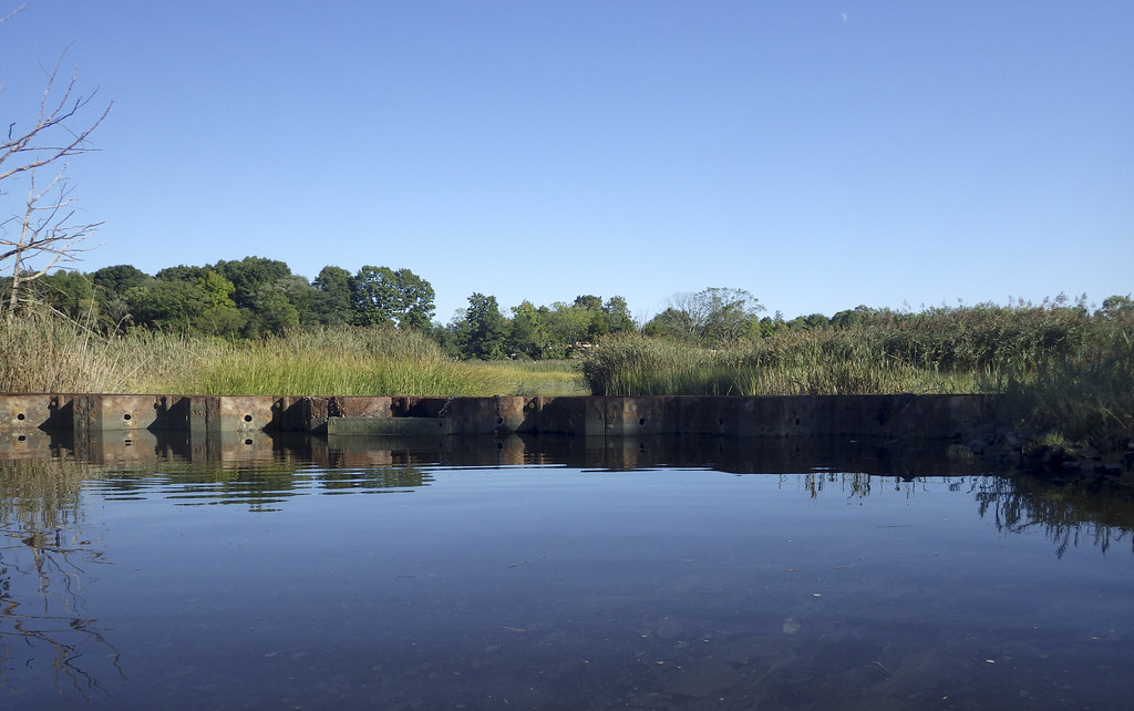 Photo: versageek, CC BY-SA 2.0 (via Flickr)
Ann Connover Nature Trail is a short, easy loop hike in Connecticut, about a mile from the town of East River. The trail is 0.92 miles long, with a total elevation gain of 12 feet, and it is rated easy. The route is a loop, and the steepest part comes at about 0.64 miles in, where the grade reaches 6 percent. The trail starts at an elevation of 25 feet and reaches a high point of 33 feet. For comfortable weather, late spring and early fall are the best bets. Typical averages from a nearby weather station in New Haven show May highs around 68°F and September highs around 75°F, with July the warmest month at about 82°F. Several other trails sit close by. The Yellow Trail is about 0.4 miles away, and the Bear House Hill Road Trail and Power Line Trail are within about 2 miles. Climbers can find Westwoods (Cockaponset State Forest) roughly 3.6 miles off.
Camp Laurelwood
Campground
 If it rainsVersageek, CC BY-SA 3.0 · Wikimedia Commons
Thomas Griswold House
Museum
Places © OpenStreetMap contributors · Photos: Versageek, CC BY-SA 3.0 (commons)
More in MiddletownBest months: April and June–October. Best months have typical highs of 55–85 °F, lows of 30 °F or warmer (32 °F where the station doesn't record snow), at most one snowy day and no more than 12 wet days.
Jan
38° / 23°
10 wet
Feb
40° / 24°
8 wet
Mar
47° / 30°
10 wet
Apr
58° / 39°
11 wet
May
68° / 49°
13 wet
Jun
76° / 59°
11 wet
Jul
82° / 66°
11 wet
Aug
81° / 65°
10 wet
Sep
75° / 57°
9 wet
Oct
64° / 46°
11 wet
Nov
53° / 36°
10 wet
Dec
44° / 29°
11 wet
Typical high / low (°F) and days with rain or snow, 1991–2020. Measured at New Haven Tweed Ap, CT, 12.7 mi away at 3 ft. This station doesn't record snowfall. Source: NOAA NCEI U.S. Climate Normals 1991–2020.
Photo: versageek, CC BY-SA 2.0 (via Flickr)Yellow Trail
Next door
0.67-mile point-to-point trail in Connecticut with 202 ft elevation gain.
 Photo: versageek, CC BY-SA 2.0 (via Flickr)
New England National Scenic Trail
~4 min drive
112.68-mile point-to-point trail in Connecticut with 15,921 ft gain
 Photo: Magicpiano, CC BY-SA 3.0 (via Wikimedia Commons)
White Trail
~10 min drive
6.07-mile point-to-point trail in Connecticut with 853 ft gain.
 Photo: Kristof Zyskowski & Yulia Bereshpolova, CC BY 2.0 (via Flickr)
Bear House Hill Road Trail
~2 min drive
A 2.11-mile point-to-point woodland trail in Connecticut.
 Photo: versageek, CC BY-SA 2.0 (via Flickr)
Power Line Trail
~3 min drive
0.88-mile point-to-point hike in Connecticut with 169 ft gain
 Photo: versageek, CC BY-SA 2.0 (via Flickr)
White Trail
~3 min drive
A short point-to-point Connecticut trail perfect for a quick woodland walk.
Photo: versageek, CC BY-SA 2.0 (via Flickr)Purple Trail
~3 min drive
0.34-mile point-to-point trail in Connecticut with 42 ft elevation gain.
Photo: versageek, CC BY-SA 2.0 (via Flickr)Blue Trail
~4 min drive
0.67-mile point-to-point trail in Connecticut with 85 ft gain.
 Photo: versageek, CC BY-SA 2.0 (via Flickr)
Jared Eliot
~4 min drive
0.81-mile point-to-point trail in Connecticut with 20 ft gain.
 Photo: MattHurst, CC BY-SA 2.0 (via Flickr)
Red Rectangle
~5 min drive
Red Rectangle is a 0.44-mile point-to-point trail in Connecticut.
Map and trail data © OpenStreetMap contributors
