Holiday Hill Day Camp and Recreation Center
Campground
Campground · 1.6 mi from the trail
Olsen Trail is a short, easy hike in Connecticut, about 0.4 miles from the village of Chaffeeville. The route is a point-to-point walk of 0.45 miles, with a total elevation gain of 45 feet and a total loss of 103 feet. The climb is flat overall, and the steepest stretch comes at about 0.22 miles in, with a grade of 6 percent. Summer is the most comfortable time to go. Typical averages from the nearby Storrs weather station show July highs around 80°F with lows near 63°F, while September cools to highs in the low 70s. Several other trails sit close by. Woodland Road Trail is about 0.1 mile away, and Mullane Trail and Chapin Trail are each about 0.2 mile off. For climbing, Joshua's Trust Land is roughly 0.3 mile away.
Holiday Hill Day Camp and Recreation Center
Campground
Lion's Food Resturaunt
Fast food
 If it rainsMichael Rodriguez, CC BY-SA 4.0 · Wikimedia Commons
Places © OpenStreetMap contributors · Photos: Michael Rodriguez, CC BY-SA 4.0 (commons)
More in DanielsonBest months: April and June–October. Best months have typical highs of 55–85 °F, lows of 30 °F or warmer (32 °F where the station doesn't record snow), at most one snowy day and no more than 12 wet days.
Jan
35° / 19°
10 wet
Feb
37° / 20°
9 wet
Mar
45° / 28°
10 wet
Apr
57° / 38°
11 wet
May
68° / 48°
13 wet
Jun
76° / 57°
11 wet
Jul
80° / 63°
10 wet
Aug
79° / 61°
9 wet
Sep
73° / 54°
9 wet
Oct
61° / 43°
10 wet
Nov
50° / 34°
9 wet
Dec
40° / 25°
10 wet
Typical high / low (°F) and days with rain or snow, 1991–2020. Measured at Storrs, CT, 1.4 mi away at 665 ft. This station doesn't record snowfall. Source: NOAA NCEI U.S. Climate Normals 1991–2020.
 Photo: wolfsavard, CC BY 2.0 (via Flickr)
Nipmuck Trail - West Branch
~1 min drive
5.19-mile point-to-point trail in Connecticut with 693 ft gain.
 Photo: jjbers, CC BY 2.0 (via Flickr)
Fenton River Trai
~3 min drive
1.44-mile point-to-point trail in Connecticut with 475 ft gain
 Photo: U.S. Army Corps of Engineers, photographer not specified or unknown, Public domain (via Wikimedia Commons)
Sunset Trail
~6 min drive
3.06-mile out-and-back hike in Connecticut with 1,191 ft elevation gain
Photo: wolfsavard, CC BY 2.0 (via Flickr)Tamarack Trail
~3 min drive
0.51-mile loop trail in Connecticut with 35 ft gain.
HIKE
Nipmuck Trail - East Branch
~1 min drive
A 5.56-mile point-to-point forest hike through Connecticut's Nipmuck region.
Photo: jjbers, CC BY 2.0 (via Flickr)Yellow Trail
~3 min drive
Short point-to-point trail under a mile in Connecticut.
Photo: wolfsavard, CC BY 2.0 (via Flickr)Road Runner Trail
~3 min drive
0.48-mile point-to-point trail in Connecticut with 142 ft of elevation gain
 Photo: Morrow Long, CC BY-SA 2.0 (via Wikimedia Commons)
Yellow Trail
~4 min drive
2.28-mile out-and-back hike in Connecticut with 767 ft elevation gain
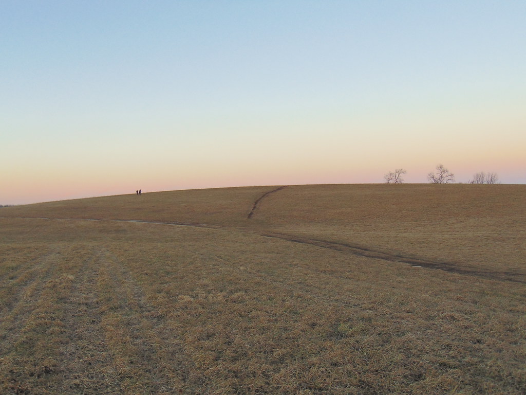 Photo: jjbers, CC BY 2.0 (via Flickr)
Nipmuck Trail
~5 min drive
A 28.52-mile point-to-point Connecticut trail through forested terrain.
Photo: U.S. Army Corps of Engineers, photographer not specified or unknown, Public domain (via Wikimedia Commons)Flood Levee Trail
~5 min drive
2.82-mile out-and-back trail in Connecticut with 359 ft elevation gain/loss
Map and trail data © OpenStreetMap contributors
