
The Spider
About
The Spider is a summit in Eagle County, Colorado, at about 12,690 feet. It sits in the Eagles Nest Wilderness.
Summit Facts
Summit elevation
12,690 ft
Land manager
Forest Service
Elevation from USGS 3D Elevation Program terrain data (about 10 m resolution).
Location
The Spider
Colorado
Name and location: U.S. Geological Survey, Geographic Names Information System (GNIS). Elevation: USGS 3D Elevation Program. View the GNIS record.
Facts about this place
When to go
Best time to go: Jun–Aug. The mildest months here, with typical highs of 61–67°F and lows of 34–40°F.
Typical monthly averages (not a forecast) from the Climax, CO weather station, 25 mi away. High / low in °F, and days with snow.
- Jan27° high3° low15 days with snow
- Feb29° high3° low15 days with snow
- Mar35° high8° low14 days with snow
- Apr40° high15° low13 days with snow
- May49° high25° low8 days with snow
- Jun61° high34° low2 days with snow
- Jul67° high40° low
- Aug64° high39° low
- Sep58° high32° low2 days with snow
- Oct47° high21° low7 days with snow
- Nov35° high11° low12 days with snow
- Dec27° high3° low15 days with snow
The station sits about 1,300 ft lower than this spot, so expect it to run cooler up here.
Where it is
- Eagles Nest Wilderness · Wilderness
- Holy Cross Ranger District · Ranger district
- White River National Forest · National forest
- Nearest town
- Vail, Colorado · 5.6 mi
- Managed by
- Forest Service
Source: Wilderness.net boundaries; USFS EDW boundaries; USGS PAD-US 4.1; USGS GNIS populated places
Conditions
Active alerts for White River National Forest as of Oct 9, 2026:
Holy Cross Wilderness, Prohibitions
information · posted Oct 8, 2026
Helicopter operations planned at Chapman Gulch Trailhead near Basalt Oct. 15 or Oct. 16
information · posted Oct 1, 2026
Xcel Energy Helicopter Maintenance Between Basalt and Leadville Through October 11
information · posted Oct 1, 2026
Crystal River Road east of Marble to be closed weekdays Oct. 5-13
caution · posted Sep 28, 2026
White River National Forest lifting fire restrictions on Friday Sept. 25
fire-restriction · posted Sep 23, 2026
FSR 286, Radical Hill, is closed due to washouts and unsafe conditions
caution · posted Sep 21, 2026
Maroon Creek Road open to vehicles
information · posted Sep 18, 2026
Maroon Bells - Snowmass Wilderness, Camping and other rules
information · posted Sep 17, 2026
Water not available at Lowry, Prospector, Windy Point and Marvine Campgrounds
caution · posted Sep 11, 2026
No water for campers at Ruedi Reservoir Campgrounds; Little Maud and Mollie B closed
information · posted Sep 9, 2026
Source: USFS forest alerts
Nearby
- Upper PineyLake fishing1.9 mi
- Gore Mountain RangeRock climbing2.7 mi
 Upper Piney Lake TrailHikingPhoto: jl_2, CC BY-SA 2.0 (via Flickr)3.2 mi
- Easter Egg BoulderRock climbing3.6 mi
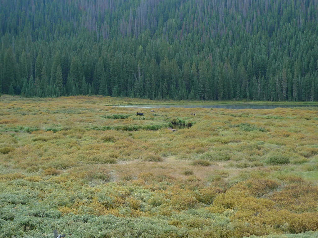 Lost LakeHikingPhoto: jl_2, CC BY-SA 2.0 (via Flickr)3.6 mi
 Gore CreekCanoeingPhoto: Jeffrey Beall, CC BY 3.0 (via Wikimedia Commons)5.3 mi
- Piney Designated Dispersed SiteCamping5.7 mi
 Gore Creek CampgroundCampingPhoto: KimonBerlin — CC BY-SA 2.0 (via Flickr)6 mi
Source: Roamze catalog (indexable pages within 10 miles, PostGIS distance)
Best time to visit The Spider
No month here meets our mild-weather rule. Best months have typical highs of 55–85 °F, lows of 30 °F or warmer (32 °F where the station doesn't record snow), at most one snowy day and no more than 12 wet days.
Jan
27° / 3°
15 wet · 15 snow
Feb
29° / 3°
15 wet · 15 snow
Mar
35° / 8°
14 wet · 14 snow
Apr
40° / 15°
13 wet · 13 snow
May
49° / 25°
10 wet · 8 snow
Jun
61° / 34°
8 wet · 2 snow
Jul
67° / 40°
13 wet
Aug
64° / 39°
15 wet
Sep
58° / 32°
11 wet · 2 snow
Oct
47° / 21°
9 wet · 7 snow
Nov
35° / 11°
12 wet · 12 snow
Dec
27° / 3°
15 wet · 15 snow
Typical high / low (°F) and days with rain or snow, 1991–2020. Measured at Climax, CO, 24.5 mi away at 11,344 ft. The station sits about 1,300 ft lower than this place, so expect it a little cooler here. Source: NOAA NCEI U.S. Climate Normals 1991–2020.
