Tanner Peak
- 9,343 ft
- summit
- 2
- ways up
- May–Jun, Sep–Oct
- best months
Is Tanner Peak open right now?
Closure in the area
There's a closure order in San Carlos Ranger District. It doesn't name Tanner Peak, so check the source for the area it covers.
East Bear Gulch NFST 1333 seasonal closure
Agency closure covering San Carlos Ranger District · Order 02-12-03-26-14 · USFS · San Carlos Ranger District
Reduced Aspen Acres Fire closure order
Agency alert covering San Carlos Ranger District · Order 02-12-03-26-43 · USFS · San Carlos Ranger District
FSR 286, Radical Hill, is closed due to washouts and unsafe conditions
Agency alert covering Pike and San Isabel National Forests · USFS · Pike and San Isabel National Forests
Interlaken Hotel Tree Hazards
Agency alert covering Pike and San Isabel National Forests · USFS · Pike and San Isabel National Forests
Sharpe Fire Update
Agency alert covering Pike and San Isabel National Forests · USFS · Pike and San Isabel National Forests
As of · Source: USFS · San Carlos Ranger District. Agencies don't list every closure — check before you go.
Tanner Peak is a summit of 9,343 feet in Colorado's San Carlos Ranger District, part of the Pike and San Isabel National Forests. The nearest town is Lincoln Park, about 7 miles away. Summer is the most comfortable time to visit. A nearby weather station at Guffey, which sits roughly 430 feet lower than the peak, records typical July averages of 77°F for highs and 49°F for lows. June and August run similarly warm, but July also brings the most wet days of the year, about 16. Mountain bikers have several options within a few miles, including the Hot Shots trail at about 2.5 miles and the LAMBA Chops and The Great Escape trails at about 3.2 miles. Climbers can find Tanner Dome about 4.8 miles away, and Oak Creek Campground offers a place to camp about 5.3 miles from the summit.
Conditions and forecast
Daily highs and lows, wind and the chance of precipitation at the summit and route start for the next 7 days, from the Open-Meteo model.
- Summit elevation
- 9,343 ft
Elevation from USGS 3D Elevation Program terrain data (about 10 m resolution).
- Tanner PeakEasyabout 328 ft of climbing2.1 mi round trip
- Tanner Peak TrailExpertFrom North Tanner Trailhead · about 4,259 ft of climbing12.6 mi round trip
Compare the routes Tanner Peak Tanner Peak Trail Starts at — North Tanner Trailhead Climbing About 328 ft About 4,259 ft Round trip 2.1 mi 12.6 mi Difficulty Easy Expert Terrain Hike Hike Season Year-round — Map © Mapbox © OpenStreetMap contributors Questions about Tanner Peak
How tall is Tanner Peak?
9,343 ft (2,848 m).
How many routes go to the summit of Tanner Peak?
2: Tanner Peak and Tanner Peak Trail.
What is the shortest route up Tanner Peak?
Tanner Peak, about 2.1 mi round trip.
Where do the routes up Tanner Peak start?
Tanner Peak Trail starts at North Tanner Trailhead.
When is the best time to climb Tanner Peak?
Year-round.
- Rudolph Mountain10,330 ft · Colorado1 route18 mi away
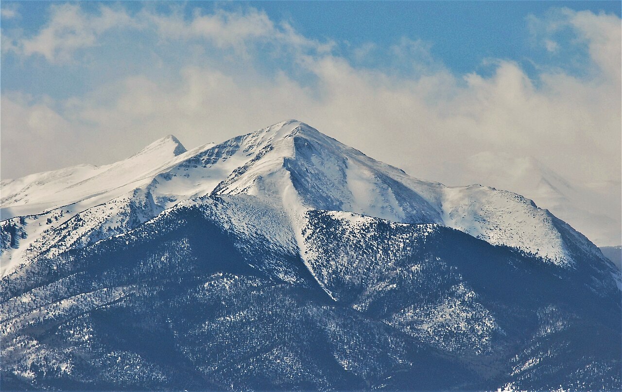 Spread Eagle Peak13,430 ft · Colorado1 route24 mi awayPhoto: Thom C, CC BY 3.0 (via Wikimedia Commons)
- Booger Red Hill8,307 ft · Colorado1 route24 mi away
- Electric Peak13,613 ft · Colorado1 route25 mi away
- Lakes Peak13,381 ft · Colorado1 route25 mi away
- Cottonwood Peak13,591 ft · Colorado1 route26 mi away
 Hot ShotsMountain bikingPhoto: Jeffrey Beall, CC BY 4.0 (via Wikimedia Commons)2.5 mi
- LAMBA ChopsMountain biking3.2 mi
- The Great EscapeMountain biking3.2 mi
- Tanner DomeRock climbing4.8 mi
 West Bend CragRock climbingPhoto: Jeffrey Beall, CC BY 4.0 (via Wikimedia Commons)5 mi
- Hueco WallRock climbingPhoto: Jeffrey Beall, CC BY 4.0 (via Wikimedia Commons)5 mi
- Oak Creek CampgroundCamping5.3 mi
- Royal Gorge Park East Ridge CampgroundCamping7.2 mi
Source: Roamze catalog (indexable pages within 10 miles, PostGIS distance)
- Spread Eagle PeakSummit · ~42 min drivePhoto: Thom C, CC BY 3.0 (via Wikimedia Commons)
 Eureka MountainSummit · ~45 min drivePhoto: Adam Meek, CC BY 2.0 (via Wikimedia Commons)
 Mount PisgahSummit · ~47 min drivePhoto: James St. John, CC BY 2.0 (via Wikimedia Commons)
 Mount AdamsSummit · ~50 min drivePhoto: Xpda, CC BY 3.0 (via Wikimedia Commons)
 Humboldt PeakSummit · ~51 min drivePhoto: Meniscus at English Wikipedia, Public domain (via Wikimedia Commons)
 Galena PeakSummit · ~52 min drivePhoto: Jeffrey Beall, CC BY-SA 2.0 (via Wikimedia Commons)
 Challenger PointSummit · ~53 min drivePhoto: Fredlyfish4, CC BY-SA 3.0 (via Wikimedia Commons)
 Crestone NeedleSummit · ~53 min drivePhoto: Meniscus, Public domain (via Wikimedia Commons)
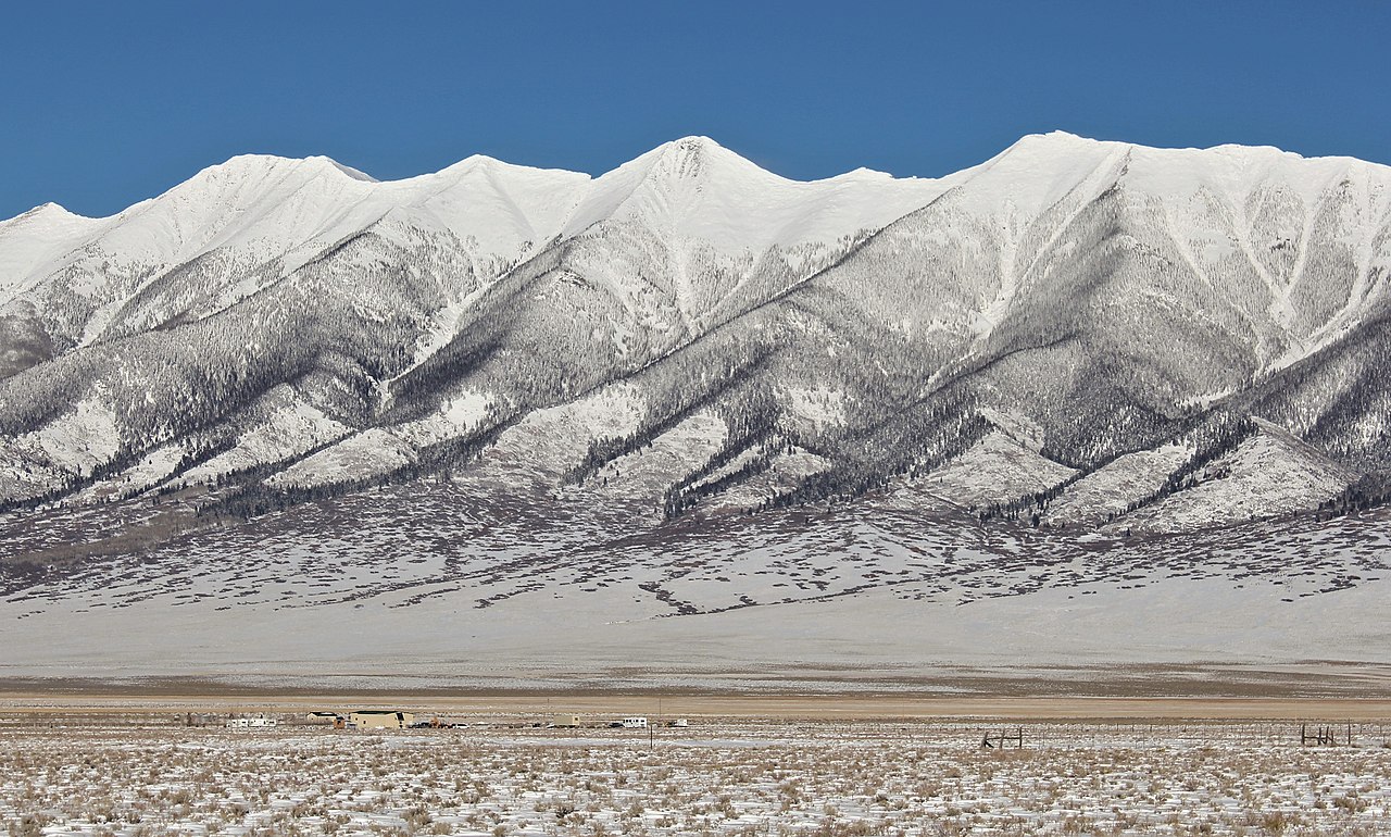 Mount OttoSummit · ~53 min drivePhoto: Jeffrey Beall, CC BY-SA 2.5 (via Wikimedia Commons)
 Crestone PeakSummit · ~53 min drivePhoto: Adam Ginsburg, CC BY-SA 2.5 (via Wikimedia Commons)
Also worth it near here
- Hot ShotsMountain biking · ~4 min drivePhoto: Jeffrey Beall, CC BY 4.0 (via Wikimedia Commons)
- West Bend CragRock climbing · ~9 min drivePhoto: Jeffrey Beall, CC BY 4.0 (via Wikimedia Commons)
- Canon City Hot SpringsHot spring · ~10 min drive
 Summit TrailHiking · ~11 min drivePhoto: Ken Lund from Reno, Nevada, USA, CC BY-SA 2.0 (via Wikimedia Commons)
Best time to visit Tanner Peak
Best months: May–June and September–October. Best months have typical highs of 55–85 °F, lows of 30 °F or warmer (32 °F where the station doesn't record snow), at most one snowy day and no more than 12 wet days.
Jan
37° / 16°
5 wet
Feb
38° / 16°
5 wet
Mar
47° / 23°
6 wet
Apr
53° / 28°
7 wet
May
63° / 36°
10 wet
Jun
73° / 47°
10 wet
Jul
77° / 49°
16 wet
Aug
74° / 49°
14 wet
Sep
67° / 44°
8 wet
Oct
58° / 32°
5 wet
Nov
45° / 24°
4 wet
Dec
36° / 16°
5 wet
Typical high / low (°F) and days with rain or snow, 1991–2020. Measured at Guffey 9se, CO, 22.8 mi away at 8,915 ft. This station doesn't record snowfall. Source: NOAA NCEI U.S. Climate Normals 1991–2020.
