Mountain · 1 route
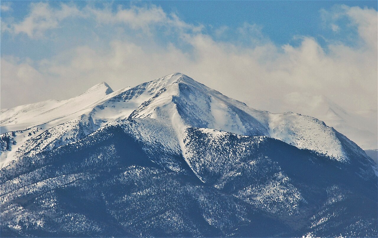
Cottonwood Peak
13,591 ft · Colorado
- Summit
- 13,591 ft
- Routes
- 1 way up
- Managed by
- Forest Service
Route up Cottonwood Peak
About Cottonwood Peak
Cottonwood Peak is a summit on Forest Service land in Colorado, falling within the Saguache and San Carlos ranger districts and the Rio Grande National Forest. The closest town is Coaldale, about 10 miles away. Several trails start close to the peak. Silver Lake is about 1.3 miles away and Black Canyon about 2.4 miles. For an overnight stay, Valley View Hot Springs sits roughly 3.7 miles off, and Lake Creek Campground is about 6 miles away.
Forecast on Cottonwood Peak
Daily highs and lows, wind and the chance of precipitation at the summit and hot springs/garner trailhead for the next 7 days, from the Open-Meteo model.
Questions about Cottonwood Peak
How tall is Cottonwood Peak?
13,591 ft (4,143 m).
How many routes go to the summit of Cottonwood Peak?
One: Cottonwood Peak.
Where do the routes up Cottonwood Peak start?
Cottonwood Peak starts at Hot Springs/Garner Trailhead.
Mountains nearby
- Lakes Peak13,381 ft · Colorado1 route2.1 mi away
- Electric Peak13,613 ft · Colorado1 route3.7 mi away
- Mount Owen13,355 ft · Colorado1 route6.0 mi away
 Spread Eagle Peak13,430 ft · Colorado1 route8.9 mi awayPhoto: Thom C, CC BY 3.0 (via Wikimedia Commons)
- Rito Alto Peak13,790 ft · Colorado1 route9.6 mi away
 Bushnell Peak13,106 ft · Colorado1 route11 mi awayPhoto: Jeffrey Beall, CC BY-SA 2.5 (via Wikimedia Commons)
Facts about this place
Where it is
- Saguache Ranger District · Ranger district
- San Carlos Ranger District · Ranger district
- Rio Grande National Forest · National forest
- Nearest town
- Coaldale, Colorado · 9.9 mi
- Managed by
- Forest Service
Source: USFS EDW boundaries; USGS PAD-US 4.1; USGS GNIS populated places
Conditions
Active alerts for San Carlos Ranger District as of Oct 9, 2026:
Aspen Acres Fire Area Closure Sept. 1, 2026 - Dec. 31, 2026.
critical · posted Aug 31, 2026
East Bear Gulch Trail Seasonal Closure Order
information · posted Aug 24, 2026
Greenhorn Mountain Wilderness and Spanish Peaks Wilderness Occupancy and Use Restrictions
information · posted Aug 24, 2026
East Bear Gulch NFST 1333 seasonal closure
critical · posted Aug 24, 2026
Source: USFS forest alerts
Nearby
- Silver LakeHiking1.3 mi
- Black CanyonHiking2.4 mi
- North Brush SpurHiking2.8 mi
 Valley View Hot SpringsCampingPhoto: Dan Nevill, CC BY 2.0 (via Wikimedia Commons)3.7 mi
- Lake Creek CampgroundCamping6.1 mi
- Coaldale CampgroundCamping8.4 mi
- Texas CreekCanoeing9.6 mi
- CoaldaleRock climbing9.9 mi
Source: Roamze catalog (indexable pages within 10 miles, PostGIS distance)
Is Cottonwood Peak open right now?
Closure in the area
There's a closure order in San Carlos Ranger District. It doesn't name Cottonwood Peak, so check the source for the area it covers.
East Bear Gulch NFST 1333 seasonal closure
Agency closure covering San Carlos Ranger District · Order 02-12-03-26-14 · USFS · San Carlos Ranger District
Reduced Aspen Acres Fire closure order
Agency alert covering San Carlos Ranger District · Order 02-12-03-26-43 · USFS · San Carlos Ranger District
As of · Source: USFS · San Carlos Ranger District. Agencies don't list every closure — check before you go.
