Spread Eagle Peak
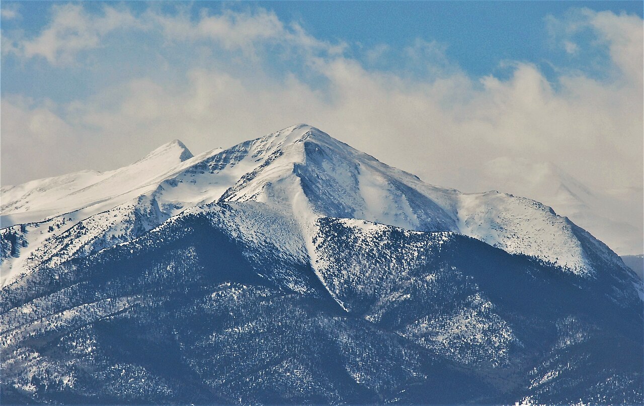 Photo: Thom C, CC BY 3.0 (via Wikimedia Commons)
- 13,430 ft
- summit
- 1
- way up
- Forest Service
- managed by
Is Spread Eagle Peak open right now?
Closure in the area
There's a closure order in San Carlos Ranger District. It doesn't name Spread Eagle Peak, so check the source for the area it covers.
East Bear Gulch NFST 1333 seasonal closure
Agency closure covering San Carlos Ranger District · Order 02-12-03-26-14 · USFS · San Carlos Ranger District
Reduced Aspen Acres Fire closure order
Agency alert covering San Carlos Ranger District · Order 02-12-03-26-43 · USFS · San Carlos Ranger District
FSR 286, Radical Hill, is closed due to washouts and unsafe conditions
Agency alert covering Pike and San Isabel National Forests · USFS · Pike and San Isabel National Forests
Interlaken Hotel Tree Hazards
Agency alert covering Pike and San Isabel National Forests · USFS · Pike and San Isabel National Forests
Sharpe Fire Update
Agency alert covering Pike and San Isabel National Forests · USFS · Pike and San Isabel National Forests
As of · Source: USFS · San Carlos Ranger District. Agencies don't list every closure — check before you go.
Spread Eagle Peak is a summit of about 13,430 feet in Custer County, Colorado, inside the Sangre de Cristo Wilderness. The peak lies within the San Carlos Ranger District of the Pike and San Isabel National Forests, which the Forest Service manages. The nearest town is Crestone, about 9.5 miles away. The Sangre de Cristo Wilderness covers the surrounding area, and a summit route leads to the top. Lake of the Clouds is the closest neighbor, about 0.7 miles away, with North Taylor at 1.6 miles and Hermit Lake at 2.3 miles. Alvarado Campground, about 5.4 miles off, offers a place to stay nearby.
Conditions and forecast
Daily highs and lows, wind and the chance of precipitation at the summit and gibson creek trailhead for the next 7 days, from the Open-Meteo model.
- Summit elevation
- 13,430 ft
- Land manager
- Forest Service
Elevation from USGS 3D Elevation Program terrain data (about 10 m resolution).
Map © Mapbox © OpenStreetMap contributors Questions about Spread Eagle Peak
How tall is Spread Eagle Peak?
13,430 ft (4,093 m).
How many routes go to the summit of Spread Eagle Peak?
One: Spread Eagle Peak.
Where do the routes up Spread Eagle Peak start?
Spread Eagle Peak starts at Gibson Creek Trailhead.
- Rito Alto Peak13,790 ft · Colorado1 route1.8 mi away
- Mount Owen13,355 ft · Colorado1 route4.0 mi away
- Venable Peak13,326 ft · Colorado1 route4.9 mi away
- Electric Peak13,613 ft · Colorado1 route5.3 mi away
- Comanche Peak13,273 ft · Colorado1 route5.9 mi away
 Horn Peak13,448 ft · Colorado1 route6.8 mi awayPhoto: Xnatedawgx, CC BY-SA 3.0 (via Wikimedia Commons)
- Lake of the CloudsHiking0.7 mi
- North TaylorHiking1.6 mi
- Hermit LakeHiking2.3 mi
- Sangre de Cristo RangeRock climbing4.2 mi
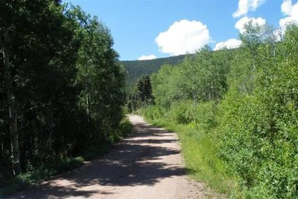 Alvarado CampgroundCampingPhoto: Recreation.gov (RIDB) / public domain5.4 mi
- Taylor CreekCanoeing7.5 mi
- North Crestone Creek CampgroundCamping7.9 mi
 CrestoneRock climbingPhoto: ikewinski, CC BY 2.0 (via Flickr)9.6 mi
Source: Roamze catalog (indexable pages within 10 miles, PostGIS distance)
 Eureka MountainSummit · ~5 min drivePhoto: Adam Meek, CC BY 2.0 (via Wikimedia Commons)
 Mount AdamsSummit · ~14 min drivePhoto: Xpda, CC BY 3.0 (via Wikimedia Commons)
 Challenger PointSummit · ~17 min drivePhoto: Fredlyfish4, CC BY-SA 3.0 (via Wikimedia Commons)
 Humboldt PeakSummit · ~19 min drivePhoto: Meniscus at English Wikipedia, Public domain (via Wikimedia Commons)
 Crestone PeakSummit · ~20 min drivePhoto: Adam Ginsburg, CC BY-SA 2.5 (via Wikimedia Commons)
 Crestone NeedleSummit · ~20 min drivePhoto: Meniscus, Public domain (via Wikimedia Commons)
 Pico AisladoSummit · ~23 min drivePhoto: Jeremiah LaRocco, CC BY-SA 2.0 (via Wikimedia Commons)
 Tijeras PeakSummit · ~26 min drivePhoto: Adam Meek, CC BY 2.0 (via Wikimedia Commons)
 Cleveland PeakSummit · ~28 min drivePhoto: Great Sand Dunes National Park and Preserve, CC BY 2.0 (via Wikimedia Commons)
 Galena PeakSummit · ~30 min drivePhoto: Jeffrey Beall, CC BY-SA 2.0 (via Wikimedia Commons)
