Baculite Mesa
 Photo: Jeffrey Beall, CC BY 4.0 (via Wikimedia Commons)
- 5,394 ft
- summit
- May, Sep–Oct
- best months
Baculite Mesa is a summit in Colorado, rising to 5,394 feet about 9 miles from the city of Pueblo. It sits at a moderate elevation, and its position close to town makes it an easy addition to a day spent exploring the Pueblo area. Spring and fall are the most comfortable times to visit. Typical averages from a nearby weather station in Pueblo show May highs around 77°F and October highs around 70°F, while July averages climb to about 93°F and winter brings frequent snow days. KOA Kampground is about 3.5 miles away, and Pueblo Pointe is about 7 miles off. Chico Creek, a canoeing spot, and the East Riverwalk, a hike, are both within about 9 miles.
Conditions and forecast
Daily highs and lows, wind and the chance of precipitation at the summit for the next 7 days, from the Open-Meteo model.
- Summit elevation
- 5,394 ft
Elevation from USGS 3D Elevation Program terrain data (about 10 m resolution).
We don't know of a mapped trail or route to the summit of Baculite Mesa. Plan the approach with local maps, a guidebook or a local guide, and check conditions before you go.
Questions about Baculite Mesa
How tall is Baculite Mesa?
5,394 ft (1,644 m).
Is there a trail to the top of Baculite Mesa?
We don't know of a mapped trail or route to the summit. Plan the approach with local maps, a guidebook or a local guide.
- Gray Back Peak9,354 ft · Colorado1 route29 mi away
 Mount Cutler7,229 ft · Colorado1 route32 mi awayPhoto: Lance Cpl. Graham Benson, Public domain (via Wikimedia Commons)
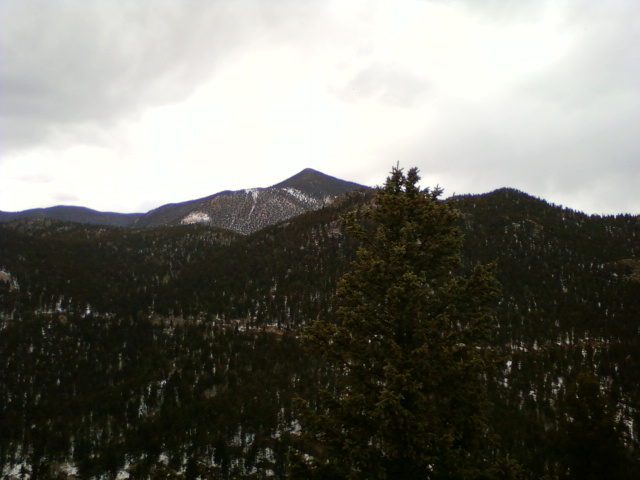 Mount Rosa11,499 ft · Colorado1 route33 mi awayPhoto: Xnatedawgx, CC BY-SA 3.0 (via Wikimedia Commons)
- Mays Peak8,281 ft · Colorado1 route34 mi away
- Iron Mountain7,130 ft · Colorado2 routes37 mi away
- Rudolph Mountain10,330 ft · Colorado1 route37 mi away
- KOA KampgroundCamping3.5 mi
- Pueblo PointeCamping7.1 mi
- Chico CreekCanoeing8.8 mi
- East RiverwalkHiking9.2 mi
Source: Roamze catalog (indexable pages within 10 miles, PostGIS distance)
 Cheyenne MountainSummit · ~51 min drivePhoto: Jimmy from Grand Junction, CO, CC BY-SA 2.0 (via Wikimedia Commons)
 Saint Peters DomeSummit · ~53 min drivePhoto: Langdon & Company, Denver, Public domain (via Wikimedia Commons)
- Mount CutlerSummit · ~56 min drivePhoto: Lance Cpl. Graham Benson, Public domain (via Wikimedia Commons)
- Mount RosaSummit · ~56 min drivePhoto: Xnatedawgx, CC BY-SA 3.0 (via Wikimedia Commons)
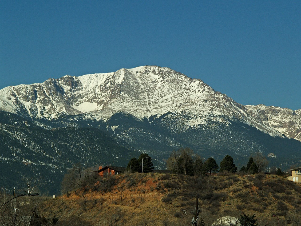 Pikes PeakSummit · ~1h 10m drivePhoto: David Shankbone, CC BY-SA 3.0 (via Wikimedia Commons)
 Greenhorn MountainSummit · ~1h 14m drivePhoto: Hogs555, CC BY-SA 3.0 (via Wikimedia Commons)
 Blodgett PeakSummit · ~1h 15m drivePhoto: Thomson200, CC0 (via Wikimedia Commons)
 Mount PisgahSummit · ~1h 15m drivePhoto: James St. John, CC BY 2.0 (via Wikimedia Commons)
 Huerfano ButteSummit · ~1h 20m drivePhoto: User:Pmsyyz, CC BY-SA 3.0 (via Wikimedia Commons)
 Badito ConeSummit · ~1h 25m drivePhoto: Charles M. Sauer Charlessauer, CC BY-SA 3.0 (via Wikimedia Commons)
Also worth it near here
- Frontier Pathways Scenic and Historic BywayScenic drive · ~15 min drive
- Northside ReservoirsLake fishing · ~16 min drive
 Valco Ponds Fishing and Arkansas River Access TrailHiking · ~19 min drivePhoto: Paul.J.Hurtado, CC BY-SA 2.0 (via Flickr)
 Arkansas Point CampgroundCamping · ~23 min drivePhoto: Jeffrey Beall, CC BY 4.0 (via Wikimedia Commons)
Best time to visit Baculite Mesa
Best months: May and September–October. Best months have typical highs of 55–85 °F, lows of 30 °F or warmer (32 °F where the station doesn't record snow), at most one snowy day and no more than 12 wet days.
Jan
48° / 15°
4 wet · 4 snow
Feb
51° / 19°
4 wet · 4 snow
Mar
61° / 27°
5 wet · 3 snow
Apr
67° / 35°
7 wet · 2 snow
May
77° / 46°
8 wet
Jun
89° / 55°
7 wet
Jul
93° / 61°
9 wet
Aug
90° / 59°
8 wet
Sep
83° / 50°
5 wet
Oct
70° / 36°
4 wet · 1 snow
Nov
57° / 24°
4 wet · 3 snow
Dec
48° / 16°
4 wet · 4 snow
Typical high / low (°F) and days with rain or snow, 1991–2020. Measured at Pueblo Mem Ap, CO, 7.7 mi away at 4,720 ft. The station sits about 700 ft lower than this place, so expect it a little cooler here. Source: NOAA NCEI U.S. Climate Normals 1991–2020.
