Arkansas Point Campground
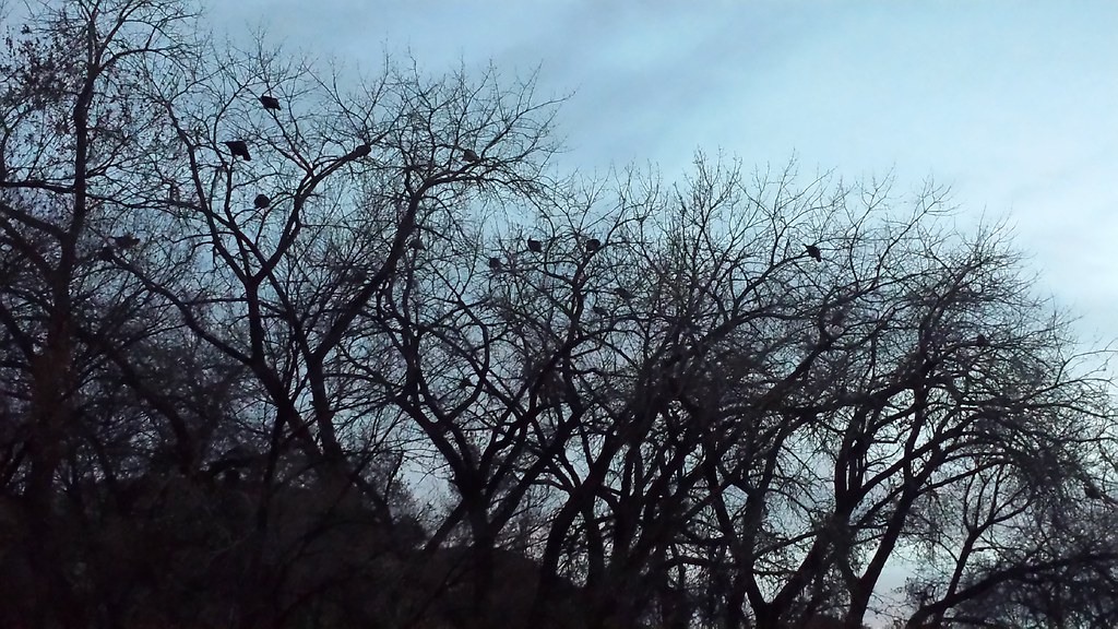
 Photo: Jeffrey Beall, CC BY 4.0 (via Wikimedia Commons)
- Apr–May, Sep–Oct
- best months
Clear at last check
Weather is good · OpenWeather · checked 21 h ago
- At 4,953 ft
- Lake Pueblo State Park
Arkansas Point Campground sits within Lake Pueblo State Park in Colorado, managed by the Bureau of Reclamation. It is a campground at the state park, and two trails start right beside it: the Arkansas Point Trail and the Watertower Trail, each about 0.3 miles away. Spring and fall are the most comfortable times to visit. Typical averages from a nearby weather station show May highs around 76°F and October highs near 69°F, while July averages a high of 92°F and January lows drop to about 18°F. Several other campgrounds lie within a few miles, including Juniper Breaks Campground at about 2.1 miles and Prairie Ridge Campground at about 2.8 miles. Paddlers can find the Abandoned D&RGW Line about 3.8 miles away.
Best time to go · Apr–May, Sep–Oct
Best time to visit Arkansas Point Campground
Best months: April–May and September–October. Best months have typical highs of 55–85 °F, lows of 30 °F or warmer (32 °F where the station doesn't record snow), at most one snowy day and no more than 12 wet days.
Jan
47° / 18°
4 wet · 2 snow
Feb
49° / 20°
5 wet · 2 snow
Mar
59° / 28°
6 wet · 1 snow
Apr
66° / 36°
8 wet
May
76° / 46°
9 wet
Jun
87° / 56°
8 wet
Jul
92° / 62°
9 wet
Aug
90° / 60°
9 wet
Sep
82° / 51°
6 wet
Oct
69° / 38°
5 wet
Nov
56° / 27°
5 wet · 1 snow
Dec
47° / 19°
4 wet · 2 snow
Typical high / low (°F) and days with rain or snow, 1991–2020. Measured at Pueblo Rsvr, CO, 1 mi away at 4,861 ft. Source: NOAA NCEI U.S. Climate Normals 1991–2020.
Keep exploring — more campsites worth the drive
 Photo: jaygannett from La Veta, CO, USA, CC BY-SA 2.0 (via Wikimedia Commons)
Prairie Ridge Campground
~5 min drive
Colorado prairie campground offering access to outdoor recreation in an open landscape setting.
Photo: jaygannett from La Veta, CO, USA, CC BY-SA 2.0 (via Wikimedia Commons)Eagle View Campground
~5 min drive
Mountain campground in Colorado offering scenic sites and access to outdoor recreation.
 Photo: Jacob Montgomery, CC BY-SA 3.0 (via Wikimedia Commons)
Penrose Commons Campground
~40 min drive
Colorado campground offering access to outdoor recreation in the Penrose area.
 Photo: Jeffrey Beall, CC BY 4.0 (via Wikimedia Commons)
Aspen Acres Campground
~42 min drive
Scenic Colorado campground in aspen-filled mountain setting for outdoor recreation.
 Photo: Jeffrey Beall, CC BY 4.0 (via Wikimedia Commons)
Table Mountain RV Park
~43 min drive
RV campground in Colorado's mountain setting with convenient access to outdoor recreation.
BED
St Charles Campground - Lake Isabel
~45 min drive
Photo: Jeffrey Beall, CC BY 4.0 (via Wikimedia Commons)Ponderosa Group Campground
~45 min drive
BED
Ponderosa Group - Lake Isabel
~46 min drive
BED
La Vista Campground - Lake Isabel
~44 min drive
BED
Southside Campground - Lake Isabel
~44 min drive
Map and trail data © OpenStreetMap contributors
