Mill Creek Basin Backcountry Camp
Campground
Campground · 2.0 mi from the trail
Closure in the area
There's a closure order in Grand Mesa, Uncompahgre and Gunnison National Forests. It doesn't name Dallas Peak: Approach to 11,300 ft, so check the source for the area it covers (2 listed).
Gold Mountain Wildfire Roads and Trails Closure Order v 4.0
Agency closure covering Grand Mesa, Uncompahgre and Gunnison National Forests · USFS · Grand Mesa, Uncompahgre and Gunnison National Forests
Ophir Pass Road Closure
Agency closure covering Grand Mesa, Uncompahgre and Gunnison National Forests · USFS · Grand Mesa, Uncompahgre and Gunnison National Forests
Potter Basin Road Closure Order
Agency alert covering Grand Mesa, Uncompahgre and Gunnison National Forests · USFS · Grand Mesa, Uncompahgre and Gunnison National Forests
Beaver Park Road Closure Order
Agency alert covering Grand Mesa, Uncompahgre and Gunnison National Forests · USFS · Grand Mesa, Uncompahgre and Gunnison National Forests
TERMINATION OF ORDER - FIRE RESTRICTIONS
Agency alert covering Grand Mesa, Uncompahgre and Gunnison National Forests · USFS · Grand Mesa, Uncompahgre and Gunnison National Forests
As of · Source: USFS · Grand Mesa, Uncompahgre and Gunnison National Forests. Agencies don't list every closure — check before you go.
This page covers the approach to Dallas Peak (13,675 ft, 4,168 m) in Colorado, from Mill Creek Trailhead. The mapped line ends at about 11,300 ft, roughly 2,400 ft below the summit and 3,563 ft (1,086 m) from it in a straight line. No path is mapped beyond that point: the dashed final stretch on the map is a straight line to the summit, not a route. The finish is a roped rock climb (rated Class 5): it needs a rope, a rack and a helmet. Treat the summit as a separate objective from the approach: check current conditions, and go with the gear and experience the finish needs. This page has the mapped line and a 7-day forecast for the summit and the start.
Mill Creek Basin Backcountry Camp
Campground
Places © OpenStreetMap contributors, Places © Overture Maps Foundation
More in TellurideDaily highs and lows, wind and the chance of precipitation at the summit and route start for the next 7 days, from the Open-Meteo model.
Source: Roamze catalog (indexable pages within 10 miles, PostGIS distance)
Also worth it near here
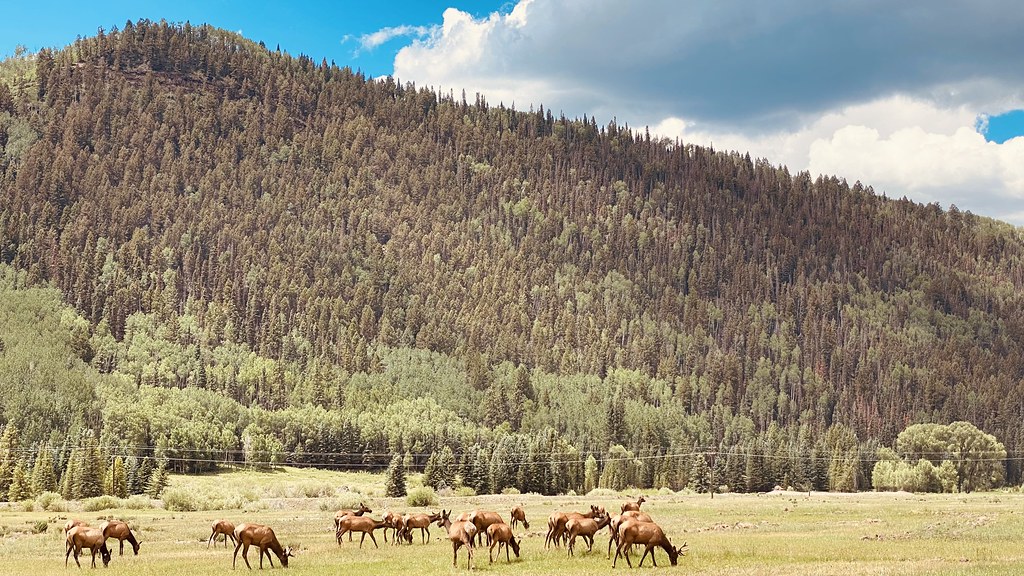 Eider TrailHiking · ~2 min drivePhoto: lamblukas, CC BY 2.0 (via Flickr)
 Valley FloorMountain biking · ~2 min drivePhoto: Miles Buddy, CC BY-SA 3.0 (via Wikimedia Commons)
 Upper Valley FloorCross-country skiing · ~4 min drivePhoto: Ken Lund from Reno, Nevada, USA, CC BY-SA 2.0 (via Wikimedia Commons)
 Dallas PeakSummit · ~4 min drivePhoto: dana.m.wilson, CC BY 2.0 (via Wikimedia Commons)
About 8.4 mi round trip from Mill Creek Trailhead.
About 6,016 ft of climbing round trip.
It is rated expert.
Mill Creek Trailhead.
© openrouteservice.org by HeiGIT | Map data © OpenStreetMap contributors
