HM1
Campground
Campground · 3.0 mi from the trail
 Photo: Wusel007, CC BY-SA 3.0 (via Wikimedia Commons)
Clear today
Weather is good · usgs_nwis, OpenWeather · checked 7 h ago
The Cache la Poudre River offers a paddling stretch of about 23 miles in northern Colorado, near Loveland and less than a mile from the small community of Masonville. The river flows year-round, with an average flow of about 341 cubic feet per second. This is a run with real drop. The river falls an average of about 51 feet per mile, a steady gradient that adds up to well over a thousand feet across the full stretch. Summer is the most comfortable time to be on the water. Typical July averages from a nearby weather station reach a high of about 74°F and a low near 43°F, while winter highs there stay around freezing. Off the water, Elk Meadow Trail sits about half a mile away and Power Line Trail about a mile away. Horsetooth Mountain's climbing is roughly 3 miles off, and the Big Thompson River, another paddling option, lies about 8 miles away.
HM1
Campground
Almost East Gemstone Peak
Viewpoint
Places © OpenStreetMap contributors
More in Estes ParkNot on Roamze yet. Their page has how to reach them.
 Horsetooth Rock - West FaceRock climbingPhoto: Jamesmartin111, CC0 (via Wikimedia Commons)3.3 miHorsetooth MountainRock climbingPhoto: Jamesmartin111, CC0 (via Wikimedia Commons)3.3 mi
 Big Thompson RiverCanoeingPhoto: Wusel007, CC BY-SA 3.0 (via Wikimedia Commons)8.4 mi
Source: Roamze catalog (indexable pages within 10 miles, PostGIS distance)
Big Thompson RiverCanoeing · ~14 min drivePhoto: Wusel007, CC BY-SA 3.0 (via Wikimedia Commons) North Fork Cache La Poudre RiverCanoeing · ~45 min drivePhoto: Peter J. Caprio, CC BY-SA 4.0 (via Wikimedia Commons)
 Boulder CreekCanoeing · ~58 min drivePhoto: Susan from Alameda, CA, USA, CC BY 2.0 (via Wikimedia Commons)
 South Boulder CreekCanoeing · ~1h 9m drivePhoto: Jeffrey Beall, CC BY 3.0 (via Wikimedia Commons)
 Willow CreekCanoeing · ~1h 18m drivePhoto: Jeffrey Beall, CC BY 4.0 (via Wikimedia Commons)
Also worth it near here
 Horsetooth Falls TrailHiking · ~5 min drivePhoto: Timothy Sipkens, CC0 (via Wikimedia Commons)
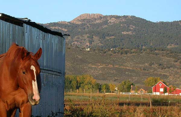 Horsetooth MountainSummit · ~6 min drivePhoto: Matthew Trump (talk) (Uploads)
Uploaded by Decumanus at en.wikipedia, CC BY-SA 3.0 (via Wikimedia Commons)Horsetooth Rock - West FaceRock climbing · ~6 min drivePhoto: Jamesmartin111, CC0 (via Wikimedia Commons)
Best months: June and September. Best months have typical highs of 55–85 °F, lows of 30 °F or warmer (32 °F where the station doesn't record snow), at most one snowy day and no more than 12 wet days.
Jan
31° / 11°
9 wet
Feb
33° / 10°
9 wet
Mar
40° / 15°
10 wet
Apr
45° / 20°
10 wet
May
55° / 28°
10 wet
Jun
68° / 36°
10 wet
Jul
74° / 43°
13 wet
Aug
72° / 41°
14 wet
Sep
65° / 34°
10 wet
Oct
51° / 25°
8 wet
Nov
39° / 18°
9 wet
Dec
31° / 11°
9 wet
Typical high / low (°F) and days with rain or snow, 1991–2020. Measured at Hourglass Rsvr, CO, 22.4 mi away at 9,520 ft. The station sits about 600 ft lower than this place, so expect it a little cooler here. This station doesn't record snowfall. Source: NOAA NCEI U.S. Climate Normals 1991–2020.
