Eagle Area
Campground
Campground · 4.2 mi from the trail
 Photo: Ej Lowell, CC BY-SA 3.0 (via Wikimedia Commons)
Clear at last check
Weather is good · OpenWeather · checked 21 h ago
Easy Rider is a mountain biking route in western Colorado, on Bureau of Land Management land within the Colorado River Valley Field Office. It is about 3 miles long, and the climb starts at roughly 7,766 feet, rising to about 7,803 feet before dropping to about 6,940 feet at the far end of the route. The total elevation gain is 901 feet, and the route passes a steep section of about 22% grade at about 0.36 miles. Summer is the most comfortable time to ride. Typical averages from a nearby weather station at a similar elevation show July highs around 81°F and lows near 40°F. Winters there are cold, with January highs around 34°F. The Easy Rider Trail and The Maze Trail, both hikes, start about 0.4 miles from the route. Gypsum Campground is about 5.8 miles away, and Gypsum Creek offers canoeing about 4.6 miles out.
Eagle Area
Campground
Eagle River Brewing Company
Brewery
Thermal springs in Colorado
Places © OpenStreetMap contributors, Places © Overture Maps Foundation
More in Glenwood SpringsNot on Roamze yet. Their page has how to reach them.
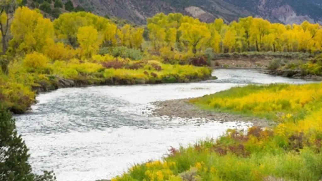 Gypsum CampgroundCampingPhoto: Recreation.gov (RIDB) / public domain5.8 mi
 Aunt Sara's Riverdance RV ResortCampingPhoto: inkknife_2000 (7.5 million views +), CC BY-SA 2.0 (via Wikimedia Commons)6.8 mi
Source: Roamze catalog (indexable pages within 10 miles, PostGIS distance)
Charlie BrownMountain biking · ~8 min drivePhoto: Ej Lowell, CC BY-SA 3.0 (via Wikimedia Commons)HaymakerMountain biking · ~8 min drivePhoto: Ej Lowell, CC BY-SA 3.0 (via Wikimedia Commons) Grizzly CreekMountain biking · ~34 min drivePhoto: Don Graham from Redlands, CA, USA - God bless it!, CC BY-SA 2.0 (via Wikimedia Commons)
Best months: June–September. Best months have typical highs of 55–85 °F, lows of 30 °F or warmer (32 °F where the station doesn't record snow), at most one snowy day and no more than 12 wet days.
Jan
34° / 4°
Feb
36° / 6°
Mar
43° / 13°
Apr
51° / 21°
May
63° / 28°
Jun
75° / 34°
Jul
81° / 40°
Aug
80° / 39°
Sep
71° / 32°
Oct
61° / 23°
Nov
45° / 13°
Dec
34° / 5°
Typical high / low (°F) and days with rain or snow, 1991–2020. Measured at Meredith, CO, 18.7 mi away at 7,825 ft. This station doesn't record snowfall. Source: NOAA NCEI U.S. Climate Normals 1991–2020.
Map and trail data © OpenStreetMap contributors
