Eagle Area
Campground
Campground · 4.3 mi from the trail
The Maze Trail is an easy hike on Bureau of Land Management land within the Colorado River Valley Field Office in Colorado, about 3.5 miles long with a total elevation gain of 800 feet. The land is managed by the BLM. For comfortable weather, late spring and early fall are the best bets. Typical averages from the Shoshone, CO weather station, about 18 miles away, show May highs near 71°F and September highs near 79°F, while July highs reach about 89°F. The Easy Rider mountain biking route and the Easy Rider Trail are both within half a mile. Hockett Gulch Trail lies about 1.4 miles away, and Gypsum Campground is roughly 5.4 miles out.
Eagle Area
Campground
Eagle River Brewing Company
Brewery
Thermal springs in Colorado
Places © OpenStreetMap contributors, Places © Overture Maps Foundation
More in Glenwood Springs Easy RiderMountain bikingPhoto: Ej Lowell, CC BY-SA 3.0 (via Wikimedia Commons)0.4 mi
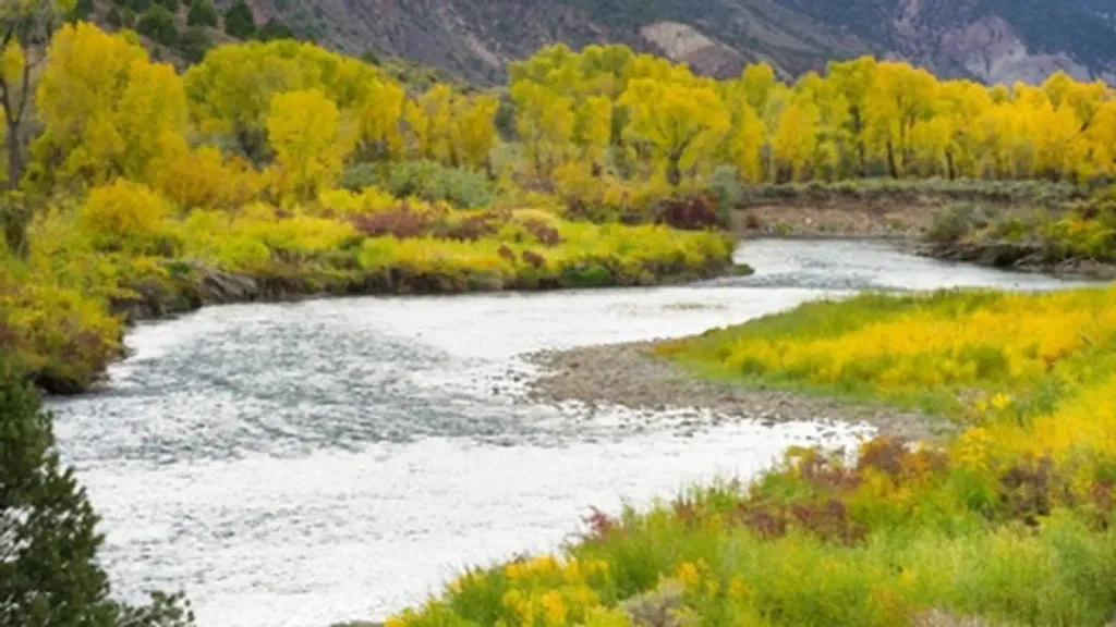 Gypsum CampgroundCampingPhoto: Recreation.gov (RIDB) / public domain5.4 mi
 Aunt Sara's Riverdance RV ResortCampingPhoto: inkknife_2000 (7.5 million views +), CC BY-SA 2.0 (via Wikimedia Commons)6.3 mi
Source: Roamze catalog (indexable pages within 10 miles, PostGIS distance)
 Old Fulford Trail No 419Hiking · ~20 min drivePhoto: Melissa Johnson — CC BY 2.0 (via Flickr)
Map and trail data © OpenStreetMap contributors
