Hockett Gulch Trail
- 2.2 mi
- distance
- 600 ft
- climb
- Easy
- difficulty
Hockett Gulch Trail is a 2.2-mile hike on Bureau of Land Management land in Colorado's Colorado River Valley Field Office, about 2 miles from the town of Gypsum. It's an easy route with a total elevation gain of 600 feet, making it a straightforward outing for a day on the land managed by the BLM. The most comfortable months for a visit are typically late spring and early fall. At a nearby weather station in Shoshone, typical averages run from highs around 71°F in May to about 79°F in September. Midsummer highs there reach the upper 80s, and winter lows drop to around 15°F. The trip takes about an hour. The Pole Trail, a mountain biking route, is under a mile away, and the Easy Rider Trail is about a mile off. Farther out, Brush Creek offers canoeing and Gypsum Campground is roughly 6 miles away.
Go with a guide
- Mineral Belt Trail Guided WalkNexPM AI · $25 per person · 41 mi away
- Flat Tops Wilderness Guides21 mi away
- Pole TrailMountain biking0.7 mi
- Easy Rider TrailHiking1.1 mi
- Tick AlleyMountain biking1.4 mi
- Brush CreekCanoeing5.1 mi
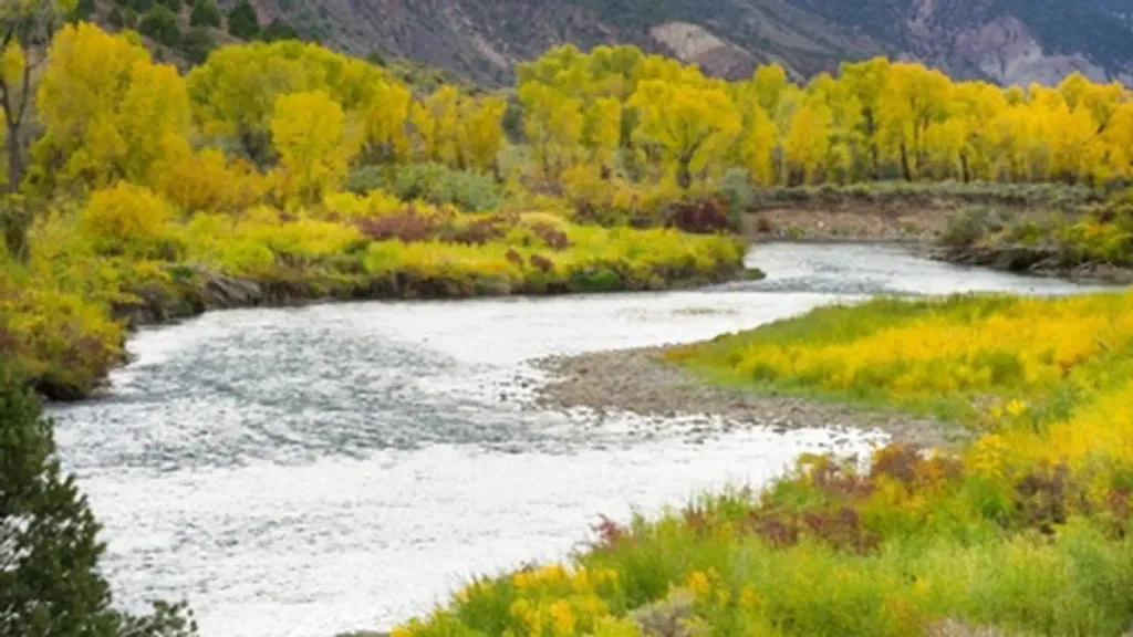 Gypsum CampgroundCampingPhoto: Recreation.gov (RIDB) / public domain5.7 mi
- Gypsum CreekCanoeing6.1 mi
- Horse Pasture SiteRiver fishing6.4 mi
 Aunt Sara's Riverdance RV ResortCampingPhoto: inkknife_2000 (7.5 million views +), CC BY-SA 2.0 (via Wikimedia Commons)6.9 mi
Source: Roamze catalog (indexable pages within 10 miles, PostGIS distance)
 Old Fulford Trail No 419Hiking · ~20 min drivePhoto: Melissa Johnson — CC BY 2.0 (via Flickr)
- SundellHiking · ~11 min drive
- Yates GulchHiking · ~15 min drive
- Salt CreekHiking · ~18 min drive
- Pole TrailHiking · ~1 min drive
- Red CreekHiking · ~17 min drive
- TAYLOR CREEKHiking · ~21 min drive
- Stag GulchHiking · ~19 min drive
- Pole TrailHiking · ~1 min drive
- Mckenzie GulchHiking · ~18 min drive

Map and trail data © OpenStreetMap contributors
