Power Bill
- 1.0 mi
- distance
- 49 ft
- climb
- Mar–May, Sep–Oct
- best months
Power Bill is a short mountain biking route on Bureau of Land Management land in the Uncompahgre Field Office in Colorado, about a mile from the Flux Capacitor trail. The ride is a one-mile loop with a low point of 6,268 feet and a high of 6,306 feet, so the climb is only about 49 feet. The steepest stretch comes near the end, at about 5% grade. The most comfortable months for riding are late spring and early fall. Typical averages from the nearby Montrose #2 weather station show May highs around 74°F and September highs around 79°F, while July averages about 90°F. The Flux Capacitor trail starts just 0.1 mile away, and Amp Ridge and Ohm-Ward Bound are within a mile. Climbers can find the Mars Landing area about 0.9 mile off.
Local outfitters
- Cedar Creek RV Park and Lodging7 mi away
- CampV36 mi away
Not on Roamze yet. Their page has how to reach them.
- Flux CapacitorMountain biking0.1 mi
- Amp RidgeMountain biking0.5 mi
- Ohm-Ward BoundMountain biking0.8 mi
- Outlying BouldersRock climbing0.9 mi
- Mars LandingRock climbing0.9 mi
- Afraid Of HellRock climbing0.9 mi
- Riverbend RV ParkCamping5.6 mi
- Gather MontroseCamping6.3 mi
Source: Roamze catalog (indexable pages within 10 miles, PostGIS distance)
- Flux CapacitorMountain biking · Next door
- Amp RidgeMountain biking · Next door
- Ohm-Ward BoundMountain biking · ~1 min drive
- Shock TherapyMountain biking · ~1 min drive
- PJ WayMountain biking · ~4 min drive
- Buzzard GulchMountain biking · ~4 min drive
- Bull SnakeMountain biking · ~4 min drive
- Vulture RimMountain biking · ~4 min drive
- MailboxMountain biking · ~4 min drive
- Broken AntlerMountain biking · ~4 min drive
Also worth it near here
- Outlying BouldersRock climbing · ~2 min drive
- TurnaroundCross-country skiing · ~14 min drive
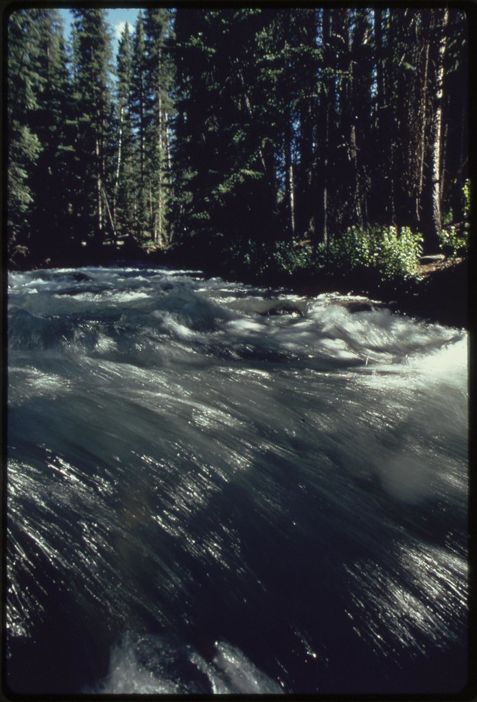 EAST FORK DRY CREEKHiking · ~20 min drivePhoto: U.S. National Archives, No known copyright restrictions (via Flickr)
 Iron Springs CampgroundCamping · ~22 min drivePhoto: Jeffrey Beall, CC BY 3.0 (via Wikimedia Commons)
Best time to visit Power Bill
Best months: March–May and September–October. Best months have typical highs of 55–85 °F, lows of 30 °F or warmer (32 °F where the station doesn't record snow), at most one snowy day and no more than 12 wet days.
Jan
40° / 18°
5 wet · 3 snow
Feb
46° / 23°
5 wet · 2 snow
Mar
57° / 30°
5 wet · 1 snow
Apr
64° / 37°
6 wet · 1 snow
May
74° / 45°
5 wet
Jun
86° / 53°
4 wet
Jul
90° / 59°
6 wet
Aug
87° / 58°
8 wet
Sep
79° / 49°
7 wet
Oct
67° / 37°
6 wet
Nov
52° / 27°
5 wet · 1 snow
Dec
41° / 18°
5 wet · 3 snow
Typical high / low (°F) and days with rain or snow, 1991–2020. Measured at Montrose #2, CO, 6.6 mi away at 5,789 ft. The station sits about 500 ft lower than this place, so expect it a little cooler here. Source: NOAA NCEI U.S. Climate Normals 1991–2020.
Map and trail data © OpenStreetMap contributors
