Buzzard Gulch
- 1.8 mi
- distance
- 213 ft
- climb
- Mar–May, Sep–Oct
- best months
Buzzard Gulch is a short mountain biking route on Bureau of Land Management land in Colorado's Uncompahgre Field Office, about 1.8 miles long and rising from roughly 6,475 feet to about 6,532 feet. The climb is gentle, with a total gain of 213 feet, and the steepest stretch comes at about 0.6 miles in, where the grade reaches 15 percent. The most comfortable months for riding are typically late spring and early fall. Typical averages from a nearby weather station in Montrose show May highs around 74°F and September highs around 79°F, while July averages about 90°F and winter brings highs near 40°F with a few snowy days each month. Several other trails sit close by, including Bull Snake about 0.2 miles away and Legit Gully and PJ Way each about 0.3 miles away. Climbers can find Watermark Boulder about 2.9 miles off, and Riverbend RV Park offers camping about 3.8 miles away.
Local outfitters
- Cedar Creek RV Park and Lodging6 mi away
- CampV38 mi away
Not on Roamze yet. Their page has how to reach them.
Best time to go · Mar–May, Sep–Oct
Best time to visit Buzzard Gulch
Best months: March–May and September–October. Best months have typical highs of 55–85 °F, lows of 30 °F or warmer (32 °F where the station doesn't record snow), at most one snowy day and no more than 12 wet days.
Jan
40° / 18°
5 wet · 3 snow
Feb
46° / 23°
5 wet · 2 snow
Mar
57° / 30°
5 wet · 1 snow
Apr
64° / 37°
6 wet · 1 snow
May
74° / 45°
5 wet
Jun
86° / 53°
4 wet
Jul
90° / 59°
6 wet
Aug
87° / 58°
8 wet
Sep
79° / 49°
7 wet
Oct
67° / 37°
6 wet
Nov
52° / 27°
5 wet · 1 snow
Dec
41° / 18°
5 wet · 3 snow
Typical high / low (°F) and days with rain or snow, 1991–2020. Measured at Montrose #2, CO, 5.8 mi away at 5,789 ft. The station sits about 700 ft lower than this place, so expect it a little cooler here. Source: NOAA NCEI U.S. Climate Normals 1991–2020.
Keep exploring — more rides worth the drive
RIDE
Bull Snake
Next door
0.24-mile trail near 38.4°N 108.0°W in Colorado with 28 ft of elevation gain.
RIDE
PJ Way
Next door
1.40-mile trail near 38.4°N 108.0°W in Colorado with 15 ft of elevation gain.
RIDE
Legit Gully
Next door
0.32-mile trail near 38.4°N 108.0°W, 67 ft elevation gain
RIDE
Vulture Rim
Next door
0.82-mile trail in Colorado with 57 ft elevation gain
RIDE
Rusty Buckets
Next door
1.93-mile trail near 38.4°N 108.0°W with 79 ft gain
RIDE
Mailbox
~1 min drive
0.77-mile trail near 38.4°N 108.0°W, 76 ft elevation gain
RIDE
Broken Antler
~1 min drive
1.24-mile trail in Colorado near 38.4°N 108.0°W, 102 ft elevation gain
RIDE
Dakota Rim
~3 min drive
Dakota Rim is a 0.77-mile trail in Colorado with 59 ft of elevation gain.
RIDE
Amp Ridge
~4 min drive
1.43-mile trail near 38.4°N 108.0°W in Colorado, 329 ft elevation gain.
RIDE
Power Bill
~4 min drive
1.01-mile trail near 38.4°N 108.0°W with 138 ft of elevation gain
Also worth it near here
CLIMB
Watermark Boulder
~5 min drive
BED
Silesca Cabin
~20 min drive
 Photo: Sally Pearce, Colorado Department of Transportation; brightened and color-corrected by Howcheng, Public domain (via Wikimedia Commons)
Uncompahgre River
~21 min drive
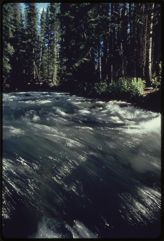 Photo: U.S. National Archives, No known copyright restrictions (via Flickr)
EAST FORK DRY CREEK
~21 min drive
Map and trail data © OpenStreetMap contributors
