Turnaround
- 0.2 mi
- distance
- 8,106 ft
- high point
- Easy
- difficulty
- May–Oct
- best months
Is Turnaround open right now?
Closure in the area
There's a closure order in Grand Mesa, Uncompahgre and Gunnison National Forests. It doesn't name Turnaround, so check the source for the area it covers (2 listed).
Gold Mountain Wildfire Roads and Trails Closure Order v 4.0
Agency closure covering Grand Mesa, Uncompahgre and Gunnison National Forests · USFS · Grand Mesa, Uncompahgre and Gunnison National Forests
Ophir Pass Road Closure
Agency closure covering Grand Mesa, Uncompahgre and Gunnison National Forests · USFS · Grand Mesa, Uncompahgre and Gunnison National Forests
Potter Basin and Beaver Park Roads Emergency Closures
Agency alert covering Grand Mesa, Uncompahgre and Gunnison National Forests · USFS · Grand Mesa, Uncompahgre and Gunnison National Forests
TERMINATION OF ORDER - FIRE RESTRICTIONS
Agency alert covering Grand Mesa, Uncompahgre and Gunnison National Forests · USFS · Grand Mesa, Uncompahgre and Gunnison National Forests
Dallas Area Closure order
Agency alert covering Grand Mesa, Uncompahgre and Gunnison National Forests · USFS · Grand Mesa, Uncompahgre and Gunnison National Forests
As of · Source: USFS · Grand Mesa, Uncompahgre and Gunnison National Forests. Agencies don't list every closure — check before you go.
Turnaround is a short, easy cross-country ski route in Colorado's Ouray Ranger District, part of the Grand Mesa, Uncompahgre and Gunnison National Forests. The Forest Service manages the land, and the route sits at about 8,100 feet, with a high point of 8,106 feet and a low of 8,089 feet. The climb is nearly flat, with a total gain of zero and a slight loss of 16 feet over its 0.18-mile length. Winter is the natural season for skiing here. Typical averages from a nearby weather station at a similar elevation show January highs around 37°F and lows near 13°F, while July and August run in the low 80s by day and the low 50s at night. Several other spots lie close by. The Mini Loop mountain biking trail is about 0.1 mile away, and the Branson Loop Ski and Spring Creek Rim SNO are each about 0.2 mile off. Farther out, Silesca Cabin offers camping about 9 miles away.
Local outfitters
- Cedar Creek RV Park and Lodging14 mi away
- Peak Mountain Guides25 mi away
Not on Roamze yet. Their page has how to reach them.
Best time to go · May–Oct
Best time to visit Turnaround
Best months: May–October. Best months have typical highs of 55–85 °F, lows of 30 °F or warmer (32 °F where the station doesn't record snow), at most one snowy day and no more than 12 wet days.
Jan
37° / 13°
Feb
40° / 16°
Mar
49° / 23°
Apr
56° / 29°
May
66° / 38°
Jun
76° / 46°
Jul
82° / 53°
Aug
81° / 52°
Sep
72° / 44°
Oct
60° / 33°
Nov
47° / 23°
Dec
36° / 13°
Typical high / low (°F) and days with rain or snow, 1991–2020. Measured at Black Canyon Of The Gunnison, CO, 22.9 mi away at 8,151 ft. This station doesn't record snowfall. Source: NOAA NCEI U.S. Climate Normals 1991–2020.
Keep exploring — more snow worth the drive
 Photo: Jeffrey Beall, CC BY 4.0 (via Wikimedia Commons)
Middle Loop
~28 min drive
Middle Loop is a short 0.43-mile route in Colorado with 86 feet of elevation gain.
Photo: Jeffrey Beall, CC BY 4.0 (via Wikimedia Commons)Meadow Loop
~28 min drive
0.85-mile loop in Colorado with 118 ft of elevation gain.
 Photo: Murray Foubister, CC BY-SA 2.0 (via Wikimedia Commons)
Telluride Ski Area
~47 min drive
Telluride Ski Area in Colorado has 20 lifts and 107 runs, 18 easy, 41 intermediate, 24 advanced, 23 expert, 3,891 ft vertical drop.
 Photo: Ken Lund from Reno, Nevada, USA, CC BY-SA 2.0 (via Wikimedia Commons)
Silver Pick Road
~51 min drive
Gentle 2.18-mile road-based ski tour in Colorado backcountry.
SKI
Dewdrop
Next door
Dewdrop is a 0.35-mile trail in Colorado with 104 ft of elevation gain.
SKI
Nordic Woods Snow
~9 min drive
0.54-mile trail near 38.2°N 108.0°W, 132 ft gain
Photo: Jeffrey Beall, CC BY 4.0 (via Wikimedia Commons)North Fourty
~28 min drive
1.44-mile cross-country ski trail in Colorado with 243 ft elevation gain.
Photo: Jeffrey Beall, CC BY 4.0 (via Wikimedia Commons)Parking Access Trail
~29 min drive
0.45-mile trail in Colorado with 23 ft of elevation gain.
SEE
Lee's Ski Hill
~44 min drive
Lee's Ski Hill in Colorado has 1 lift and 2 runs (easy to intermediate).
SKI
Plantation Alley
~1 min drive
2.06-mile cross-country ski trail in Colorado with 290 ft of elevation gain.
Also worth it near here
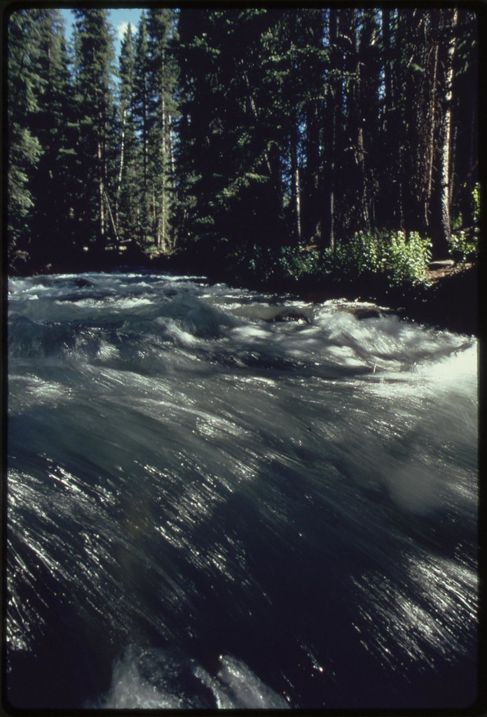 Photo: U.S. National Archives, No known copyright restrictions (via Flickr)
SPRING CREEK SPUR B
~12 min drive
CLIMB
Watermark Boulder
~13 min drive
 Photo: Sally Pearce, Colorado Department of Transportation; brightened and color-corrected by Howcheng, Public domain (via Wikimedia Commons)
Uncompahgre River
~16 min drive
 Photo: Jeffrey Beall, CC BY 3.0 (via Wikimedia Commons)
Iron Springs Campground
~18 min drive
Map and trail data © OpenStreetMap contributors
