HM1
Campground
Campground · 0.5 mi from the trail
Clear today
Weather is good · OpenWeather · checked 6 h ago
The Soderberg Trail is a short mountain biking route in Colorado's Horsetooth Mountain Open Space, a county-managed open space unit. The trail is about half a mile long, with a high point of 6,209 feet and a low of 6,037 feet, and it sits at roughly 6,087 feet at the start. The climb is modest, with a total gain of 159 feet and a steepest stretch of about 15% at 0.29 miles in. The most comfortable months for a ride are typically late spring and early fall. Typical averages from the nearby Waterdale weather station, which sits nearly 1,000 feet lower, show May highs around 68°F and September highs around 76°F, with July peaking near 87°F. The trail makes an easy pairing with other outings in the area. The Wathan Trail, a mountain biking route, and the Horsetooth Rock Trail, a hike, both lie about 0.3 miles away. The Herrington Trail is about 0.4 miles off, and the Horsetooth Rock - West Face climbing area is about 0.8 miles away.
HM1
Campground
Horsetooth Tavern
Bar
Almost East Gemstone Peak
Viewpoint
Places © OpenStreetMap contributors
More in Estes Park Horsetooth Rock TrailHikingPhoto: Timothy Sipkens, CC0 (via Wikimedia Commons)0.3 miHerrington TrailHikingPhoto: Timothy Sipkens, CC0 (via Wikimedia Commons)0.4 mi
 Horsetooth Rock - West FaceRock climbingPhoto: Jamesmartin111, CC0 (via Wikimedia Commons)0.8 miHorsetooth MountainRock climbingPhoto: Jamesmartin111, CC0 (via Wikimedia Commons)0.8 mi
 Cache la Poudre RiverCanoeingPhoto: Wusel007, CC BY-SA 3.0 (via Wikimedia Commons)3.5 mi
Source: Roamze catalog (indexable pages within 10 miles, PostGIS distance)
Also worth it near here
Horsetooth Rock TrailHiking · Next doorPhoto: Timothy Sipkens, CC0 (via Wikimedia Commons)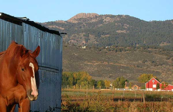 Horsetooth MountainSummit · ~1 min drivePhoto: Matthew Trump (talk) (Uploads)
Uploaded by Decumanus at en.wikipedia, CC BY-SA 3.0 (via Wikimedia Commons)Horsetooth Rock - West FaceRock climbing · ~1 min drivePhoto: Jamesmartin111, CC0 (via Wikimedia Commons)
Best months: May–June and August–October. Best months have typical highs of 55–85 °F, lows of 30 °F or warmer (32 °F where the station doesn't record snow), at most one snowy day and no more than 12 wet days.
Jan
44° / 15°
4 wet
Feb
45° / 17°
4 wet
Mar
53° / 25°
5 wet
Apr
60° / 31°
8 wet
May
68° / 41°
10 wet
Jun
80° / 49°
8 wet
Jul
87° / 55°
8 wet
Aug
84° / 53°
8 wet
Sep
76° / 45°
7 wet
Oct
63° / 34°
5 wet
Nov
51° / 24°
4 wet
Dec
43° / 16°
4 wet
Typical high / low (°F) and days with rain or snow, 1991–2020. Measured at Waterdale, CO, 7.8 mi away at 5,230 ft. The station sits about 1,000 ft lower than this place, so expect it a little cooler here. This station doesn't record snowfall. Source: NOAA NCEI U.S. Climate Normals 1991–2020.
Map and trail data © OpenStreetMap contributors
