Designated Campsite
Campground
Campground · 3.2 mi from the trail
Alert in the area
The Forest Service lists 6 alerts for White River National Forest.
FSR 286, Radical Hill, is closed due to washouts and unsafe conditions
Agency alert covering White River National Forest · USFS · White River National Forest
Limited parking at Snowmass Creek Trailhead
Agency alert covering White River National Forest · USFS · White River National Forest
Grizzly Creek Trail Closure
Agency alert covering White River National Forest · Order 2026-02 · USFS · White River National Forest
Ruedi Marina Day Use area Dump Station is CLOSED
Agency alert covering White River National Forest · USFS · White River National Forest
Asbestos safety closure - Camp Hale
Agency alert covering White River National Forest · USFS · White River National Forest
As of · Source: USFS · White River National Forest. Agencies don't list every closure — check before you go.
Morgan Gulch is a 2.11-mile loop trail in Colorado managed by the Forest Service. The route gains 309 feet of elevation.
Designated Campsite
Campground
il Rifugio
Restaurant
 If it rainsUser:Magicpiano, CC BY-SA 4.0 · Wikimedia Commons
Historic house-museum in Georgetown, Colorado, United States
Places © OpenStreetMap contributors · Photos: User:Magicpiano, CC BY-SA 4.0 (commons)
More in Idaho SpringsNot on Roamze yet. Their page has how to reach them.
Best months: June and September. Best months have typical highs of 55–85 °F, lows of 30 °F or warmer (32 °F where the station doesn't record snow), at most one snowy day and no more than 12 wet days.
Jan
32° / 12°
8 wet
Feb
31° / 11°
8 wet
Mar
38° / 17°
9 wet
Apr
43° / 23°
10 wet
May
53° / 31°
9 wet
Jun
64° / 40°
9 wet
Jul
69° / 46°
13 wet
Aug
67° / 44°
14 wet
Sep
61° / 38°
10 wet
Oct
50° / 29°
7 wet
Nov
39° / 19°
7 wet
Dec
32° / 12°
8 wet
Typical high / low (°F) and days with rain or snow, 1991–2020. Measured at Cabin Creek, CO, 8.8 mi away at 10,020 ft. We don't have this place's elevation, so higher spots nearby can run cooler. This station doesn't record snowfall. Source: NOAA NCEI U.S. Climate Normals 1991–2020.
 Photo: Ben Mason from Denver, CC BY 2.0 (via Wikimedia Commons)
Chihuahua Lake Trail
~5 min drive
1.23-mile trail with 661 ft elevation gain in Colorado
Photo: Ben Mason from Denver, CC BY 2.0 (via Wikimedia Commons)Torreys Summit
~7 min drive
0.84-mile trail in Colorado with 594 ft of elevation gain
Photo: Ben Mason from Denver, CC BY 2.0 (via Wikimedia Commons)Grays Peak
~8 min drive
3.64-mile point-to-point trail in Colorado with 3,347 ft elevation gain
RIDE
Peruvian Mine
~6 min drive
Peruvian Mine is a 0.65-mile trail in Colorado with 599 ft of elevation gain.
RIDE
Horseshoe Basin
~6 min drive
1.50-mile trail in Colorado with 945 ft elevation gain
RIDE
Argentine Pass Trail
~6 min drive
2.20-mile trail in Colorado's Trails near 39.6°N 105.8°W trail system
RIDE
Mountain Bike Trail near Camp Creek
~8 min drive
0.85-mile trail near Camp Creek, Colorado with 359 ft of elevation gain.
RIDE
money
~8 min drive
0.69-mile Black Diamond trail in Colorado with 358 ft elevation gain
RIDE
motorhead
~8 min drive
0.38-mile trail with 193 ft elevation gain near Camp Creek, Colorado
RIDE
sanitarium
~8 min drive
0.46-mile expert trail with 370 ft gain in Colorado
Also worth it near here
 Photo: Robert Tadlock from Westminster, CC BY 2.5 (via Wikimedia Commons)
Cooper Mountain
~3 min drive
 Photo: QKC, CC BY-SA 3.0 (via Wikimedia Commons)
Argentine Peak
~5 min drive
 Photo: David Benbennick took this photo, CC BY-SA 3.0 (via Wikimedia Commons)
Arapahoe Basin
~5 min drive
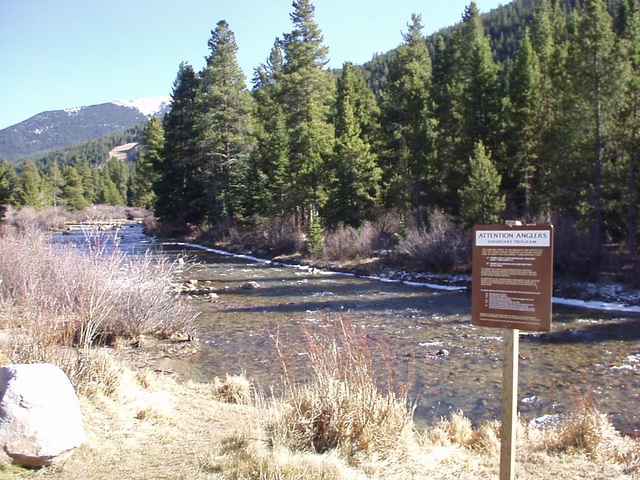 Photo: K.warterbeck, CC BY-SA 3.0 (via Wikimedia Commons)
Snake River
~6 min drive
CLIMB
Zuma Rock
~7 min drive
