Sandy Wash Trail
- 0.5 mi
- distance
- 47 ft
- climb
- Intermediate
- difficulty
- Jun–Sep
- best months
Sandy Wash Trail is a short mountain biking route on Bureau of Land Management land in Colorado's Gunnison Field Office, about half a mile from the town of Gunnison. The trail is a short, low-elevation ride, with a total climb of 47 feet over 0.48 miles. It starts at 7,785 feet and reaches a high point of 7,785 feet, so it's essentially flat, with a slight drop of 75 feet along the way. Summer is the most comfortable time to ride. Typical averages from a nearby weather station in Gunnison show July highs around 80°F with lows near 44°F, while winter highs stay in the 20s and low teens. The trail sits close to several other outdoor spots. Enchanted Forest Road Road, a cross-country skiing route, is about 0.2 miles away. The Hartman Rocks Gateway and McCabes mountain biking routes are within a mile, and the climbing area at The Stash is about 0.8 miles off.
Local outfitters
- Monarch Spur RV Park41 mi away
- Grizzly RT RV Park47 mi away
Not on Roamze yet. Their page has how to reach them.
 Enchanted Forest Road RoadCross-country skiingPhoto: Earth Science and Remote Sensing Unit, NASA Johnson Space Center, Public domain (via Wikimedia Commons)0.2 mi
- GatewayMountain biking0.5 mi
- McCabesMountain biking0.6 mi
- The StashRock climbing0.8 mi
- The Other SideRock climbing0.8 mi
- The BeachRock climbing1.3 mi
- Mesa RV ResortCamping1.9 mi
- Gunnison KOACamping3.1 mi
Source: Roamze catalog (indexable pages within 10 miles, PostGIS distance)
- GatewayMountain biking · Next door
- McCabesMountain biking · Next door
- JosiesMountain biking · ~1 min drive
- Buddy BearMountain biking · ~1 min drive
- GetawayMountain biking · ~1 min drive
- LugeMountain biking · ~2 min drive
- High FiveMountain biking · ~2 min drive
- Dirty SockMountain biking · ~2 min drive
- GracelandMountain biking · ~2 min drive
- Cat's CradleMountain biking · ~2 min drive
Also worth it near here
- Enchanted Forest Road RoadCross-country skiing · Next doorPhoto: Earth Science and Remote Sensing Unit, NASA Johnson Space Center, Public domain (via Wikimedia Commons)
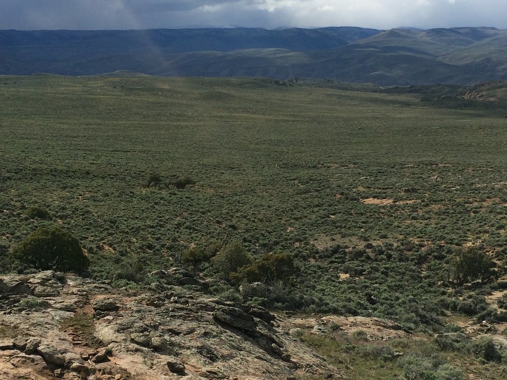 Rocky RidgeHiking · ~2 min drivePhoto: Matt Lavin, CC BY-SA 2.0 (via Flickr)
 Hartman RocksRock climbing · ~3 min drivePhoto: Matt Lavin, CC BY-SA 2.0 (via Flickr)
- Paddle Boat PondLake fishing · ~5 min drive
Best time to visit Sandy Wash Trail
Best months: June–September. Best months have typical highs of 55–85 °F, lows of 30 °F or warmer (32 °F where the station doesn't record snow), at most one snowy day and no more than 12 wet days.
Jan
26° / -6°
7 wet
Feb
30° / 1°
6 wet
Mar
44° / 14°
5 wet
Apr
56° / 23°
5 wet
May
66° / 30°
6 wet
Jun
76° / 36°
6 wet
Jul
80° / 44°
10 wet
Aug
77° / 43°
11 wet
Sep
70° / 34°
9 wet
Oct
60° / 22°
6 wet
Nov
44° / 11°
5 wet
Dec
28° / -3°
7 wet
Typical high / low (°F) and days with rain or snow, 1991–2020. Measured at Gunnison 3sw, CO, 2.3 mi away at 7,622 ft. This station doesn't record snowfall. Source: NOAA NCEI U.S. Climate Normals 1991–2020.
Map and trail data © OpenStreetMap contributors
