Back In
- 0.9 mi
- distance
- 59 ft
- climb
- Intermediate
- difficulty
- Jun–Sep
- best months
Clear today
Weather is good · OpenWeather · checked 11 h ago
Back In is a short mountain biking route on Bureau of Land Management land in the Gunnison Field Office, about 0.86 miles long and roughly 59 feet of elevation gain. It starts at about 8,276 feet and reaches a high point of 8,333 feet, with the steepest stretch at about 0.66 miles in, where the grade reaches 4 percent. The route is a quick ride, and the climb is gentle enough to fit easily into a longer day on the surrounding trails. Summer is the most comfortable time to ride. Typical averages from a nearby weather station in Gunnison show July highs around 80°F with lows near 44°F, while winter highs stay in the 20s and 30s. Several other destinations sit close by. Rattlesnake Junction Road, a cross-country skiing route, and the Sawtooth mountain biking trail are each about 0.4 miles away. Bubba Gump Boulder, a climbing area, is about 1.6 miles off, and Mesa RV Resort offers camping about 4.3 miles away.
Local outfitters
- Monarch Spur RV Park40 mi away
- Grizzly RT RV Park46 mi away
Not on Roamze yet. Their page has how to reach them.
 Rattlesnake Junction RoadCross-country skiingPhoto: John Sowell, CC BY-SA 4.0 (via Wikimedia Commons)0.4 mi
- SawtoothMountain biking0.4 mi
- Bambi'sMountain biking0.6 mi
- Bubba Gump BoulderRock climbing1.6 mi
- Super SlabsRock climbing2.2 mi
- Groove Rock aka Leap of Faith AreaRock climbing2.3 mi
- Mesa RV ResortCamping4.3 mi
- Gunnison KOACamping4.6 mi
Source: Roamze catalog (indexable pages within 10 miles, PostGIS distance)
- SawtoothMountain biking · Next door
- Bambi'sMountain biking · Next door
- SkylineMountain biking · ~1 min drive
- Sky LineMountain biking · ~2 min drive
- Mountain Bike Trail near Gold Basin CreekMountain biking · ~2 min drive
- Enchanted ForestMountain biking · ~2 min drive
- JoshosMountain biking · ~2 min drive
- Skull PassMountain biking · ~2 min drive
- Dave Moe'sMountain biking · ~2 min drive
- Dirty SockMountain biking · ~3 min drive
Also worth it near here
- Rattlesnake Junction RoadCross-country skiing · Next doorPhoto: John Sowell, CC BY-SA 4.0 (via Wikimedia Commons)
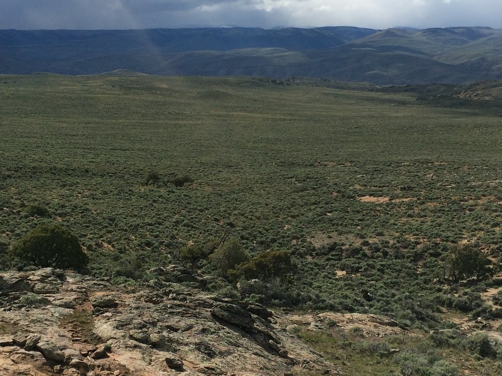 Rocky RidgeHiking · ~3 min drivePhoto: Matt Lavin, CC BY-SA 2.0 (via Flickr)
 Hartman RocksRock climbing · ~4 min drivePhoto: Matt Lavin, CC BY-SA 2.0 (via Flickr)
- Paddle Boat PondLake fishing · ~7 min drive
Best time to visit Back In
Best months: June–September. Best months have typical highs of 55–85 °F, lows of 30 °F or warmer (32 °F where the station doesn't record snow), at most one snowy day and no more than 12 wet days.
Jan
26° / -6°
7 wet
Feb
30° / 1°
6 wet
Mar
44° / 14°
5 wet
Apr
56° / 23°
5 wet
May
66° / 30°
6 wet
Jun
76° / 36°
6 wet
Jul
80° / 44°
10 wet
Aug
77° / 43°
11 wet
Sep
70° / 34°
9 wet
Oct
60° / 22°
6 wet
Nov
44° / 11°
5 wet
Dec
28° / -3°
7 wet
Typical high / low (°F) and days with rain or snow, 1991–2020. Measured at Gunnison 3sw, CO, 4.3 mi away at 7,622 ft. The station sits about 700 ft lower than this place, so expect it a little cooler here. This station doesn't record snowfall. Source: NOAA NCEI U.S. Climate Normals 1991–2020.
Map and trail data © OpenStreetMap contributors
