Monarch Park
Campground
Campground · 2.6 mi from the trail
Caution at last check
Agency alerts are in effect for this area; weather is marginal · USFS, OpenWeather · checked 14 h ago
Alert in the area
The Forest Service lists 7 alerts for Pike and San Isabel National Forests.
FSR 286, Radical Hill, is closed due to washouts and unsafe conditions
Agency alert covering Pike and San Isabel National Forests · USFS · Pike and San Isabel National Forests
Interlaken Hotel Tree Hazards
Agency alert covering Pike and San Isabel National Forests · USFS · Pike and San Isabel National Forests
Sharpe Fire Update
Agency alert covering Pike and San Isabel National Forests · USFS · Pike and San Isabel National Forests
Turquoise Lake Road (County Road 4) Closure
Agency alert covering Pike and San Isabel National Forests · USFS · Pike and San Isabel National Forests
Food Storage Prohibitions on Pike-San Isabel National Forests
Agency alert covering Pike and San Isabel National Forests · Order 02-12-00-23-07 · USFS · Pike and San Isabel National Forests
As of · Source: USFS · Pike and San Isabel National Forests. Agencies don't list every closure — check before you go.
Segment 15 of the Colorado Trail is a mountain biking ride in the Salida Ranger District of the Pike and San Isabel National Forests in Colorado. It is a 4.2-mile outing that gains about 1,300 feet in elevation, taking riders from roughly 9,580 feet up to about 10,880 feet at the high point. The trail is managed by the Forest Service. The climb is steepest around mile 3.1, where the grade reaches about 14%. That section stands out along a route that also includes a total descent of about 250 feet. Monarch Park campground sits about 2.6 miles away, and the Waterdog Lakes hike is about 3.2 miles off. Mountain bikers can also look to Monarch Crest and Hunt Lake Trail, both within about 3.5 miles.
Monarch Park
Campground
Waunita Pass
Viewpoint
Places © OpenStreetMap contributors, Places © Overture Maps Foundation
More in PitkinNot on Roamze yet. Their page has how to reach them.
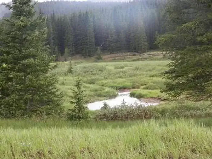 Monarch ParkCampingPhoto: Recreation.gov (RIDB) / public domain2.6 mi
 South Arkansas RiverCanoeingPhoto: Jeffrey Beall, CC BY 4.0 (via Wikimedia Commons)6.4 mi
Source: Roamze catalog (indexable pages within 10 miles, PostGIS distance)
 North Quartz Creek SkiMountain biking · ~22 min drivePhoto: Bull dd-780, CC BY 3.0 (via Wikimedia Commons)
Also worth it near here
 Taylor MountainSummit · ~8 min drivePhoto: David Herrera from Albuquerque, NM, Bernalillo, CC BY 2.0 (via Wikimedia Commons)
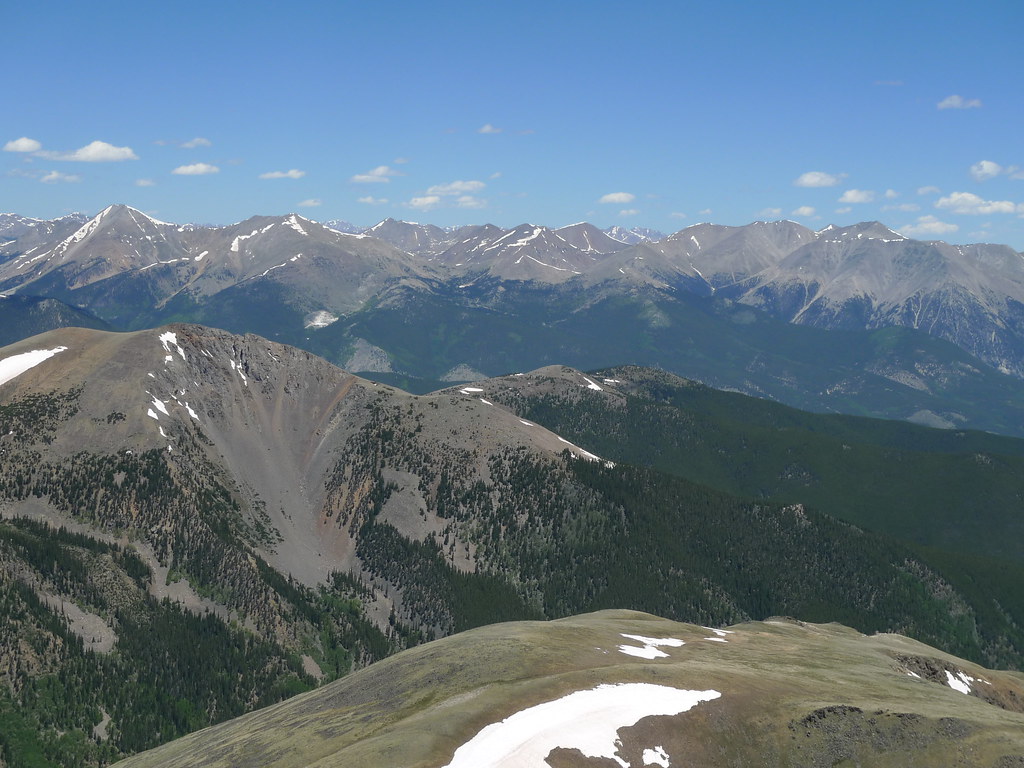 Pass Creek Trail 1412Hiking · ~9 min drivePhoto: jl_2, CC BY-SA 2.0 (via Flickr)
Map and trail data © OpenStreetMap contributors
