Monarch Park
Campground
Campground · 4.9 mi from the trail
Closure in the area
There's a closure order in Grand Mesa, Uncompahgre and Gunnison National Forests. It doesn't name monarch crest trail 531, so check the source for the area it covers (2 listed).
Gold Mountain Wildfire Roads and Trails Closure Order v 4.0
Agency closure covering Grand Mesa, Uncompahgre and Gunnison National Forests · USFS · Grand Mesa, Uncompahgre and Gunnison National Forests
Ophir Pass Road Closure
Agency closure covering Grand Mesa, Uncompahgre and Gunnison National Forests · USFS · Grand Mesa, Uncompahgre and Gunnison National Forests
Potter Basin Road Closure Order
Agency alert covering Grand Mesa, Uncompahgre and Gunnison National Forests · USFS · Grand Mesa, Uncompahgre and Gunnison National Forests
Beaver Park Road Closure Order
Agency alert covering Grand Mesa, Uncompahgre and Gunnison National Forests · USFS · Grand Mesa, Uncompahgre and Gunnison National Forests
TERMINATION OF ORDER - FIRE RESTRICTIONS
Agency alert covering Grand Mesa, Uncompahgre and Gunnison National Forests · USFS · Grand Mesa, Uncompahgre and Gunnison National Forests
As of · Source: USFS · Grand Mesa, Uncompahgre and Gunnison National Forests. Agencies don't list every closure — check before you go.
Monarch Crest Trail 531 is a mountain biking route in Colorado's Gunnison Ranger District, part of the Grand Mesa, Uncompahgre and Gunnison National Forests, on Forest Service land. The trail runs about 4.7 miles, climbing roughly 640 feet from a starting elevation of about 11,905 feet to a high point near 11,971 feet. The climb is a modest one, with the steepest stretch at about 14% grade around mile 3.5. The route begins close to the top of the range, at about 11,905 feet, and reaches its highest point just shy of 12,000 feet. That makes it a relatively short ride for a mountain biker looking to spend a few miles on a trail that sits above 11,900 feet. Lime Creek and Agate Creek are both hiking options within a couple of miles, and Monarch Park campground lies about 5 miles away. For an overnight stay, O'Haver Campground is roughly 7 miles out.
Monarch Park
Campground
Waunita Pass
Viewpoint
Places © OpenStreetMap contributors, Places © Overture Maps Foundation
More in PitkinNot on Roamze yet. Their page has how to reach them.
 Agate CreekHikingPhoto: jl_2, CC BY-SA 2.0 (via Flickr)2.2 mi
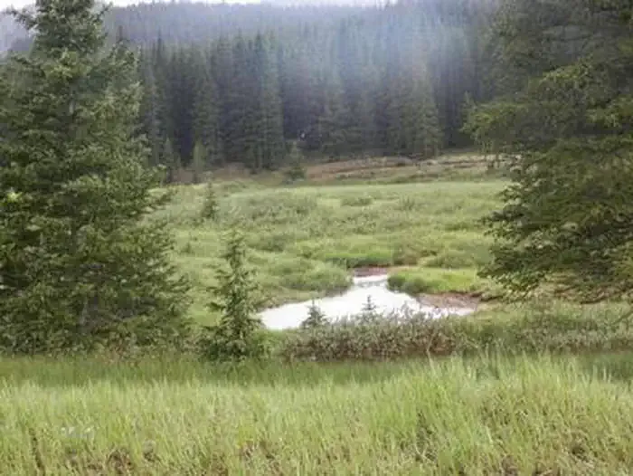 Monarch ParkCampingPhoto: Recreation.gov (RIDB) / public domain4.9 mi
 O'Haver CampgroundCampingPhoto: Jeffrey Beall, CC BY 4.0 (via Wikimedia Commons)7.4 mi
 South Arkansas RiverCanoeingPhoto: Jeffrey Beall, CC BY 4.0 (via Wikimedia Commons)8.2 mi
Source: Roamze catalog (indexable pages within 10 miles, PostGIS distance)
Also worth it near here
Map and trail data © OpenStreetMap contributors

