Z9 to Pace Lake
- 3.1 mi
- round trip
- 33 ft
- climb
- 7,575 ft
- high point
- Out and back
- route
- Apr–Jun, Aug–Oct
- best months
Z9 to Pace Lake is a 3.1-mile out-and-back trail located in Colorado near the Grand Valley area, managed by the Manti-La Sal National Forest's Grand Valley Ranger District. This moderate day hike offers access to Pace Lake, making it an ideal destination for hikers seeking a shorter outing with scenic mountain views. The trail follows Z9, providing a straightforward route to the lake. As an out-and-back hike, you'll retrace the same path on the return journey, with a total distance of approximately 6.2 miles round trip. The Manti-La Sal National Forest encompasses diverse landscapes across Colorado and Utah, known for its alpine forests and mountain terrain. This trail is suitable for hikers of various experience levels looking for a manageable day hike without excessive technical difficulty. Before heading out, check current conditions with the Grand Valley Ranger District, as weather and trail conditions can vary seasonally. Bring adequate water and sun protection for exposed sections, and verify any parking requirements or restrictions at the trailhead.
Local outfitters
- Red Desert RV Park22 mi away
- Spanish Trail RV Park24 mi away
Not on Roamze yet. Their page has how to reach them.
- Sinbad RidgeHiking3 mi
- Roc CreekHiking5.7 mi
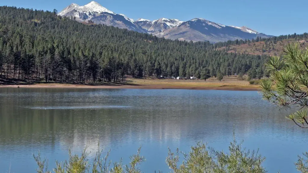 Buckeye Recreation Area (co)CampingPhoto: Recreation.gov (RIDB) / public domain7.1 mi
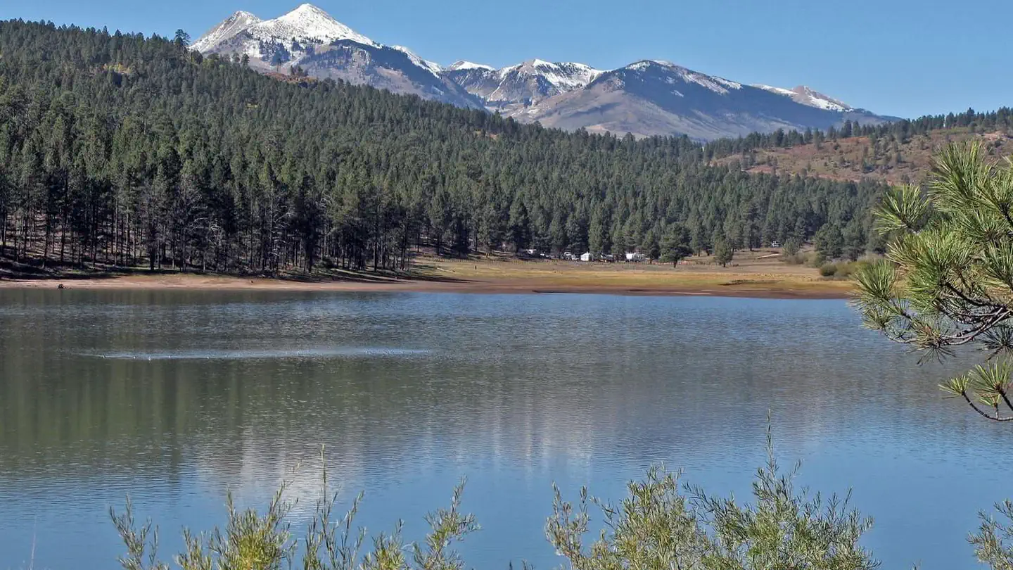 Buckeye Recreation AreaLake fishing7.1 mi
 Sewemup MesaRock climbingPhoto: SymphonicPoet, CC BY 2.0 (via Flickr)7.5 mi
- Dewey Bridge CampgroundCamping7.9 mi
- Salt Creek Canyon/Sinbad ValleyRock climbing8.3 mi
- Polar Mesa RoadHiking8.6 mi
Source: Roamze catalog (indexable pages within 10 miles, PostGIS distance)
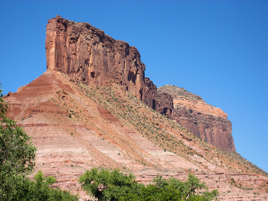 Cutler Rim TrailHiking · ~16 min drivePhoto: Argyleist, CC BY 2.0 (via Flickr)
- Sinbad RidgeHiking · ~5 min drive
- Roc CreekHiking · ~10 min drive
- Bachelor Basin TrailHiking · ~20 min drive
- Wildflower TrailHiking · ~17 min drivePhoto: Argyleist, CC BY 2.0 (via Flickr)
- Burro Pass TrailHiking · ~16 min drive
- Polar Mesa RoadHiking · ~15 min drive
- Vista Grande LoopHiking · ~16 min drivePhoto: Argyleist, CC BY 2.0 (via Flickr)
- Manns PeakHiking · ~17 min drive
- North Horse Bench TrailHiking · ~17 min drive
Also worth it near here
- Buckeye Recreation Area (co)Camping · ~12 min drive
- Buckeye Recreation AreaLake fishing · ~12 min drive
 Lumsden LoopMountain biking · ~15 min drivePhoto: Jeffrey Beall, CC BY 4.0 (via Wikimedia Commons)
- Juanita ArchNatural arch · ~16 min drive
 Mount WaasSummit · ~16 min drivePhoto: Steven Baltakatei Sandoval, CC BY-SA 4.0 (via Wikimedia Commons)
Best time to visit Z9 to Pace Lake
Best months: April–June and August–October. Best months have typical highs of 55–85 °F, lows of 30 °F or warmer (32 °F where the station doesn't record snow), at most one snowy day and no more than 12 wet days.
Jan
37° / 17°
6 wet
Feb
41° / 21°
6 wet
Mar
51° / 28°
6 wet
Apr
59° / 32°
6 wet
May
69° / 40°
5 wet
Jun
81° / 50°
4 wet
Jul
86° / 57°
7 wet
Aug
84° / 55°
7 wet
Sep
75° / 48°
6 wet
Oct
62° / 36°
5 wet
Nov
48° / 26°
5 wet
Dec
37° / 17°
5 wet
Typical high / low (°F) and days with rain or snow, 1991–2020. Measured at La Sal 1sw, UT, 20.4 mi away at 6,787 ft. The station sits about 800 ft lower than this place, so expect it a little cooler here. This station doesn't record snowfall. Source: NOAA NCEI U.S. Climate Normals 1991–2020.
