Roc Creek
- 2.0 mi
- round trip
- 1,178 ft
- climb
- 7,381 ft
- high point
- Out and back
- route
- Apr–Jun, Aug–Oct
- best months
Is Roc Creek open right now?
No closures listed
The Forest Service lists no closures for Manti-La Sal National Forest.
As of · Source: USFS · Manti-La Sal National Forest. Agencies don't list every closure — check before you go.
Roc Creek is a 1.1-mile loop trail located in Colorado near the Colorado area, managed by the Manti-La Sal National Forest Grand Valley Ranger District. This short loop offers an accessible option for hikers seeking a quick outdoor excursion in the region. The trail's compact distance makes it suitable for families, beginners, or those with limited time to spend on the trail. The Manti-La Sal National Forest encompasses diverse landscapes and ecosystems across Utah and Colorado, and this trail provides access to the natural features of the Grand Valley area. Hikers can expect a relatively straightforward route following the loop configuration. The manageable mileage allows visitors to explore the trail at a leisurely pace while enjoying the surrounding forest environment. This loop is ideal for those looking to get outside without committing to a lengthy backcountry trek. Whether you're visiting the area for a day trip or combining this hike with other activities in the Colorado region, Roc Creek offers a convenient hiking option in the Manti-La Sal National Forest system.
Local outfitters
- Red Desert RV Park24 mi away
- Spanish Trail RV Park27 mi away
Not on Roamze yet. Their page has how to reach them.
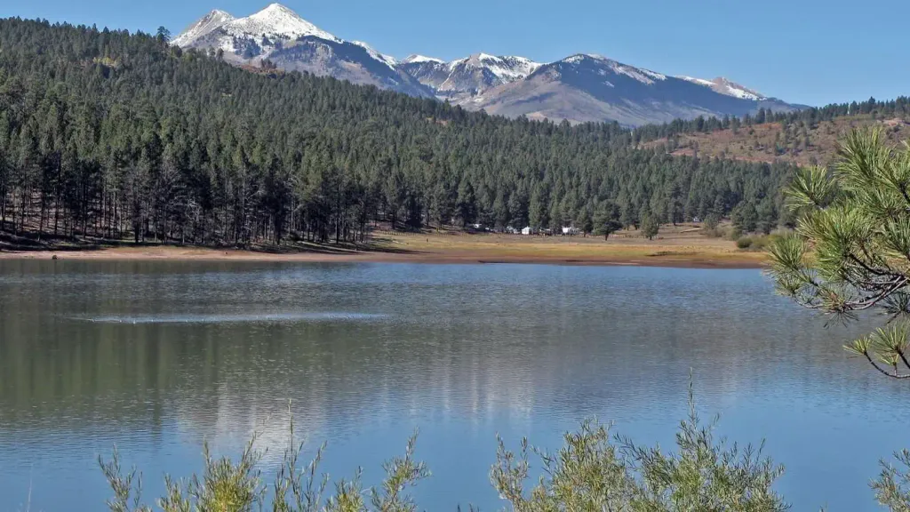 Buckeye Recreation Area (co)CampingPhoto: Recreation.gov (RIDB) / public domain2.3 mi
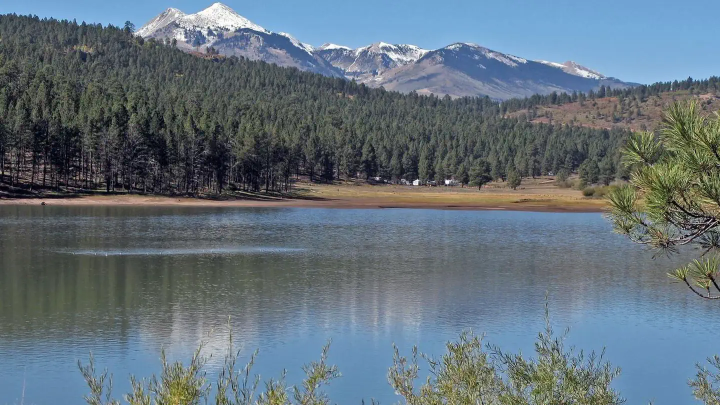 Buckeye Recreation AreaLake fishing2.3 mi
- Sinbad RidgeHiking2.9 mi
- North Horse Bench TrailHiking4.1 mi
- Z9 to Pace LakeHiking5.7 mi
- Salt Creek Canyon/Sinbad ValleyRock climbing6.6 mi
 County Line BouldersRock climbingPhoto: SymphonicPoet, CC BY 2.0 (via Flickr)6.9 mi
- Dewey Bridge CampgroundCamping8.9 mi
Source: Roamze catalog (indexable pages within 10 miles, PostGIS distance)
 Nyswonger Mesa TrailHiking · ~16 min drivePhoto: randomduck, CC BY-SA 2.0 (via Flickr)
 Medicine LakeHiking · ~22 min drivePhoto: Ken Lund from Reno, Nevada, USA, CC BY-SA 2.0 (via Wikimedia Commons)
 Doe CanyonHiking · ~23 min drivePhoto: Ken Lund from Reno, Nevada, USA, CC BY-SA 2.0 (via Wikimedia Commons)
- Sinbad RidgeHiking · ~5 min drive
- Mount Tukuhnikivatz TrailHiking · ~22 min drive
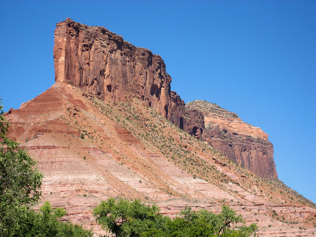 Cutler Rim TrailHiking · ~24 min drivePhoto: Argyleist, CC BY 2.0 (via Flickr)
- North Horse Bench TrailHiking · ~7 min drive
- Paradox Trail (Red Canyon Section)Hiking · ~19 min drive
- Vista Grande LoopHiking · ~24 min drivePhoto: Argyleist, CC BY 2.0 (via Flickr)
- Upper Two Mile TrailHiking · ~17 min drive
Also worth it near here
- Buckeye Recreation AreaLake fishing · ~4 min drive
- Buckeye Recreation Area (co)Camping · ~4 min drive
- County Line BouldersRock climbing · ~12 min drivePhoto: SymphonicPoet, CC BY 2.0 (via Flickr)
- Aperture ArchNatural arch · ~19 min drive
 Geyser to BurroMountain biking · ~20 min drivePhoto: The Greater Southwestern Exploration Company, CC BY 2.0 (via Wikimedia Commons)
Best time to visit Roc Creek
Best months: April–June and August–October. Best months have typical highs of 55–85 °F, lows of 30 °F or warmer (32 °F where the station doesn't record snow), at most one snowy day and no more than 12 wet days.
Jan
37° / 17°
6 wet
Feb
41° / 21°
6 wet
Mar
51° / 28°
6 wet
Apr
59° / 32°
6 wet
May
69° / 40°
5 wet
Jun
81° / 50°
4 wet
Jul
86° / 57°
7 wet
Aug
84° / 55°
7 wet
Sep
75° / 48°
6 wet
Oct
62° / 36°
5 wet
Nov
48° / 26°
5 wet
Dec
37° / 17°
5 wet
Typical high / low (°F) and days with rain or snow, 1991–2020. Measured at La Sal 1sw, UT, 17.9 mi away at 6,787 ft. The station sits about 600 ft lower than this place, so expect it a little cooler here. This station doesn't record snowfall. Source: NOAA NCEI U.S. Climate Normals 1991–2020.
