Hideout Canyon Camping Area
Campground
Campground · 3.4 mi from the trail
No closures listed
The Forest Service lists no closures for Manti-La Sal National Forest.
As of · Source: USFS · Manti-La Sal National Forest. Agencies don't list every closure — check before you go.
Polar Mesa Road is a moderate out-and-back hike in the Moab Ranger District of Manti-La Sal National Forest in Utah, managed by the Forest Service. The route is about 8.4 miles long, with a one-way elevation gain of 801 feet, starting at roughly 7,543 feet and reaching about 8,153 feet at the high point. Spring and fall are the most comfortable times to go. Typical averages from a nearby weather station show May highs around 69°F and October highs around 62°F, while July averages about 86°F and winter highs sit near 37°F. That station sits well below the route, so temperatures on the road run cooler. Hideout Wall, a climbing area, is about 3.2 miles away, and Hideout Road is about 3.7 miles off. Fisher Mesa and the Rose Garden Hill Trail are both within about 5 miles.
Hideout Canyon Camping Area
Campground
 If it rainsCarter Pape, CC BY-SA 4.0 · Wikimedia Commons
Hell's Revenge
Attraction
Places © OpenStreetMap contributors, Places © Overture Maps Foundation · Photos: Carter Pape, CC BY-SA 4.0 (commons)
More in MoabNot on Roamze yet. Their page has how to reach them.
 Mystery Towers & Top of the World OverlookRock climbingPhoto: Bureau of Land Management - Utah, Public domain (via Wikimedia Commons)8.4 mi
 Onion CreekRock climbingPhoto: Bureau of Land Management - Utah, Public domain (via Wikimedia Commons)8.4 mi
Source: Roamze catalog (indexable pages within 10 miles, PostGIS distance)
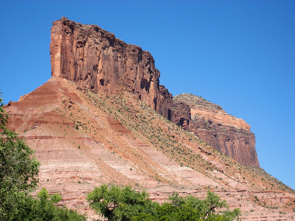 Cutler Rim TrailHiking · ~16 min drivePhoto: Argyleist, CC BY 2.0 (via Flickr)
 Fisher Towers TrailHiking · ~17 min drivePhoto: John Fowler from Placitas, NM, USA, CC BY 2.0 (via Wikimedia Commons)
 Jimmy Keen TrailHiking · ~19 min drivePhoto: Fredlyfish4, CC BY-SA 4.0 (via Wikimedia Commons)Wildflower TrailHiking · ~17 min drivePhoto: Argyleist, CC BY 2.0 (via Flickr)Upper Porcupine SingletrackHiking · ~19 min drivePhoto: Fredlyfish4, CC BY-SA 4.0 (via Wikimedia Commons)Vista Grande LoopHiking · ~16 min drivePhoto: Argyleist, CC BY 2.0 (via Flickr)
Also worth it near here
 Mount WaasSummit · ~14 min drivePhoto: Steven Baltakatei Sandoval, CC BY-SA 4.0 (via Wikimedia Commons)Onion CreekRock climbing · ~14 min drivePhoto: Bureau of Land Management - Utah, Public domain (via Wikimedia Commons)
 Lumsden LoopMountain biking · ~16 min drivePhoto: Jeffrey Beall, CC BY 4.0 (via Wikimedia Commons)
Best months: April–June and August–October. Best months have typical highs of 55–85 °F, lows of 30 °F or warmer (32 °F where the station doesn't record snow), at most one snowy day and no more than 12 wet days.
Jan
37° / 17°
6 wet
Feb
41° / 21°
6 wet
Mar
51° / 28°
6 wet
Apr
59° / 32°
6 wet
May
69° / 40°
5 wet
Jun
81° / 50°
4 wet
Jul
86° / 57°
7 wet
Aug
84° / 55°
7 wet
Sep
75° / 48°
6 wet
Oct
62° / 36°
5 wet
Nov
48° / 26°
5 wet
Dec
37° / 17°
5 wet
Typical high / low (°F) and days with rain or snow, 1991–2020. Measured at La Sal 1sw, UT, 24.4 mi away at 6,787 ft. The station sits about 1,400 ft lower than this place, so expect it a little cooler here. This station doesn't record snowfall. Source: NOAA NCEI U.S. Climate Normals 1991–2020.
Map and trail data © OpenStreetMap contributors
