Buckeye Recreation Area
- Apr–Jun, Aug–Oct
- best months
Is Buckeye Recreation Area open right now?
No closures listed
The Forest Service lists no closures for Manti-La Sal National Forest.
As of · Source: USFS · Manti-La Sal National Forest. Agencies don't list every closure — check before you go.
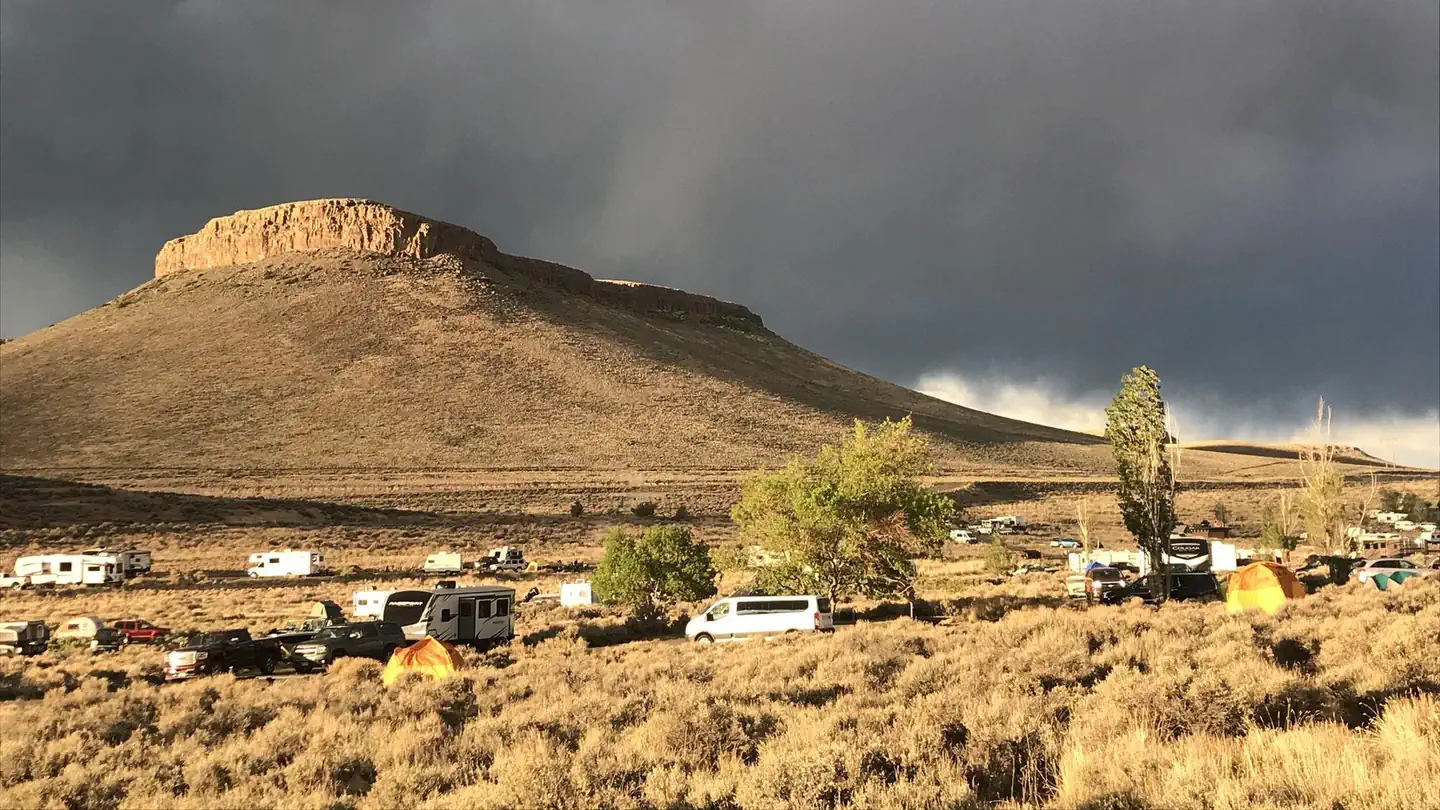
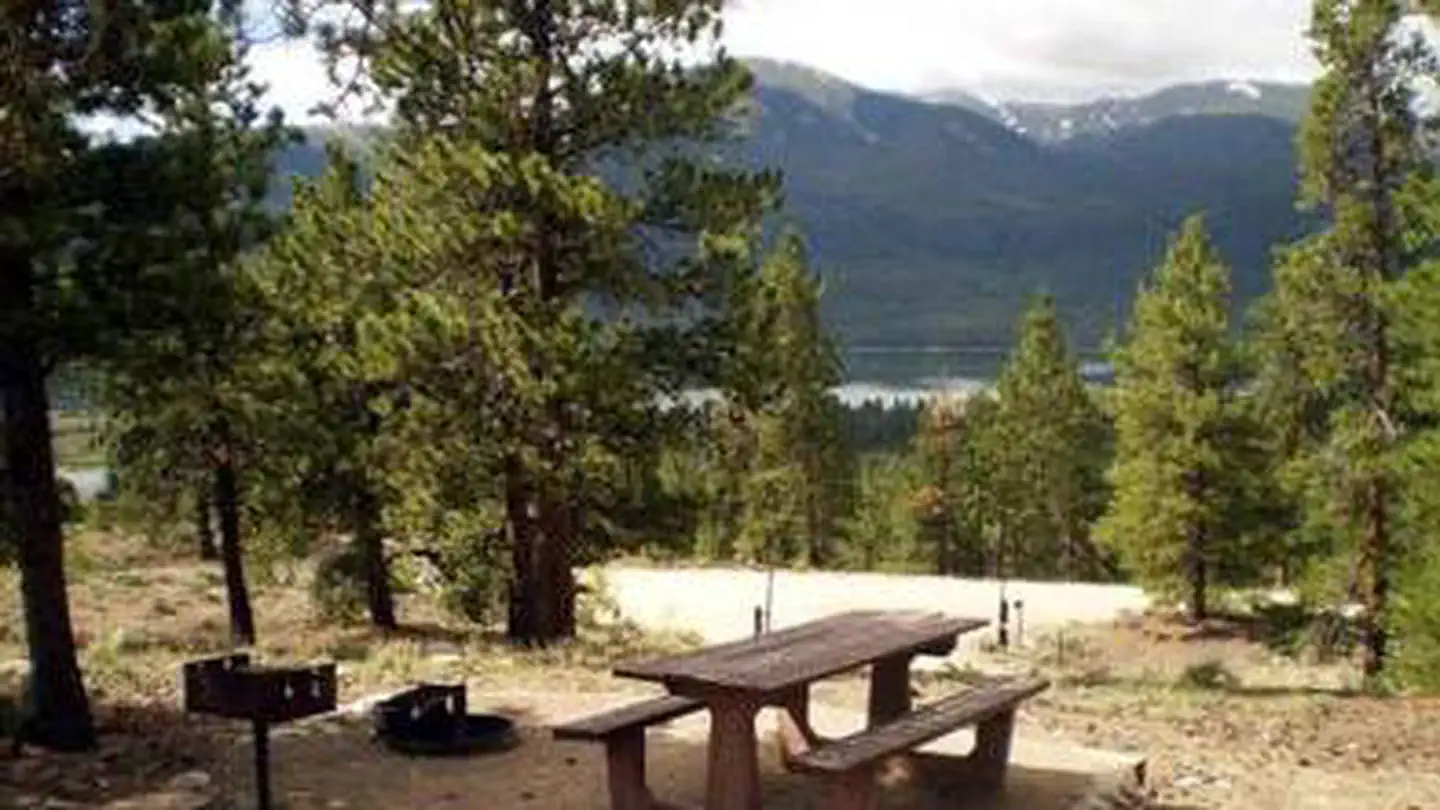
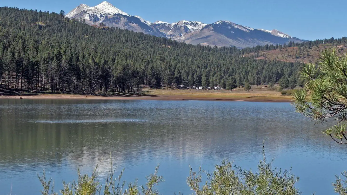
Overview The Buckeye Recreation Area is located adjacent to Buckeye Reservoir in Montrose County, Colorado. The area is popular for camping, OHV/ATV trails, hunting and fishing.Note: Some GPS or driving app directions are sending people on 4WD roads or to locked gates that are on private property. If you are unfamiliar with the area, please visit our "Facility Information - Getting Here" section for instructions on the best route to get to Buckeye Reservoir before reserving. DO NOT rely soley on Google Maps or Apple Maps for getting to this campground. Recreation Recreation in the area centers around the reservoir which provides excellent opportunities for fishing and canoeing. Forest roads in the area provide for off-highway vehicle touring and the nearby state lands provide motorized trails for Off-highway vehicles and motorcycles. The La Sal Mountains are nearby which provide many hiking and biking trails. Facilities The Buckeye Recreation Area is located adjacent to Buckeye Reservoir. The Recreation Area is spread out around the reservoir and consists of the Pioneer Campground (30 single family reservable campsites), a boat ramp for small fishing boats (5 HP motor limit and wakeless speed), a reservable group site, a day-use picnic area and 18 less developed dispersed campsites scattered around the reservoir. Campsites in the Pioneer Campground include graveled parking spurs, concrete picnic tables, fire rings, a utility table and access to vault toilets. There is a 14 day stay limit at this campground. Natural Features The recreation area is located in a valley at 7,600 feet in elevation and is set amongst mature stands of Ponderosa Pines. The high peaks of the La Sal Mountains are visible from much of the area. The scenic Paradox Valley and the town of Paradox, Colorado are located approximately 10 miles to the southeast. Nearby Attractions The scenic La Sal Mountains are very close to the area and provide numerous opportunities for recreation. Canyonlands and Arches National Parks are about 1.5 hour drive away from the area as well as numerous recreation opportunities around the towns of Monticello and Moab, Utah. Contact Info For facility specific information, please call (435) 259-7155.
Local outfitters
- CampV28 mi away
- Canyonlands By Night & Day31 mi away
Not on Roamze yet. Their page has how to reach them.
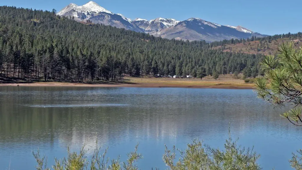 Buckeye Recreation Area (co)CampingPhoto: Recreation.gov (RIDB) / public domain0.1 mi
- Roc CreekHiking2.3 mi
- North Horse Bench TrailHiking4 mi
- Sinbad RidgeHiking4.1 mi
- Dewey Bridge CampgroundCamping7.9 mi
- Salt Creek Canyon/Sinbad ValleyRock climbing8.8 mi
 County Line BouldersRock climbingPhoto: SymphonicPoet, CC BY 2.0 (via Flickr)8.8 mi
- Upper Onion Creek CampgroundCamping8.9 mi
Source: Roamze catalog (indexable pages within 10 miles, PostGIS distance)
- Medicine LakeLake fishing · ~19 min drive
- La Sal Loop - Moab Front Recreation AreaLake fishing · ~24 min drive
- Town ReservoirLake fishing · ~55 min drive
- Enochs LakeLake fishing · ~58 min drive
- Gobbo ReservoirLake fishing · ~60 min drive
- TexasGulf Potash Pond One ALake fishing · ~1h drive
- Twin LakeLake fishing · ~1h 5m drive
- Dugout ReservoirLake fishing · ~1h 5m drive
- Williams ReservoirLake fishing · ~1h 13m drive
- Monticello Lake Fishing SiteLake fishing · ~1h 16m drive
Also worth it near here
- Buckeye Recreation AreaCamping · Next door
 Nyswonger Mesa TrailHiking · ~14 min drivePhoto: randomduck, CC BY-SA 2.0 (via Flickr)
- County Line BouldersRock climbing · ~15 min drivePhoto: SymphonicPoet, CC BY 2.0 (via Flickr)
 Mount PealeSummit · ~17 min drivePhoto: Suffusion of Yellow, CC BY-SA 3.0 (via Wikimedia Commons)
- Aperture ArchNatural arch · ~18 min drive
Best time to visit Buckeye Recreation Area
Best months: April–June and August–October. Best months have typical highs of 55–85 °F, lows of 30 °F or warmer (32 °F where the station doesn't record snow), at most one snowy day and no more than 12 wet days.
Jan
37° / 17°
6 wet
Feb
41° / 21°
6 wet
Mar
51° / 28°
6 wet
Apr
59° / 32°
6 wet
May
69° / 40°
5 wet
Jun
81° / 50°
4 wet
Jul
86° / 57°
7 wet
Aug
84° / 55°
7 wet
Sep
75° / 48°
6 wet
Oct
62° / 36°
5 wet
Nov
48° / 26°
5 wet
Dec
37° / 17°
5 wet
Typical high / low (°F) and days with rain or snow, 1991–2020. Measured at La Sal 1sw, UT, 15.7 mi away at 6,787 ft. The station sits about 800 ft lower than this place, so expect it a little cooler here. This station doesn't record snowfall. Source: NOAA NCEI U.S. Climate Normals 1991–2020.