Yampa River Core Trail
- 0.7 mi
- round trip
- 168 ft
- climb
- 6,782 ft
- high point
- Out and back
- route
- May–Sep
- best months
The Yampa River Core Trail is an easy hike just under a mile long, with an out-and-back route of about 1.4 miles and an elevation gain of about 170 feet. It lies within a short drive of Steamboat Springs, Colorado, about 2 miles away. The trail rises from a low point of about 6,750 feet to a high of roughly 6,780 feet, with the steepest stretch near the start at about 0.2 miles in, where the grade reaches 3 percent. The climb is gentle, and the round-trip covers about the same amount of gain and loss. Summer is the most comfortable time to go. Typical averages from a nearby weather station in Steamboat Springs show July highs around 83°F and lows near 46°F, while winter highs stay around freezing or below. The estimated time for the trip is about half an hour. Within a mile or so you'll find Mount Werner Road for mountain biking and the Thunderhead Trail for more hiking. Climbers can head to Butcher Knife, and Steamboat Springs KOA offers camping a little over 4 miles away.
Local outfitters
- Rancho Del Rio40 mi away
- Flat Tops Wilderness Guides48 mi away
Not on Roamze yet. Their page has how to reach them.
- mount werner roadMountain biking0.4 mi
- Thunderhead TrailHiking1 mi
- Butcher KnifeRock climbing2.1 mi
- Blob RockRock climbing3.2 mi
- Steamboat Springs KOACamping4.3 mi
- Soda CreekCanoeing5.6 mi
- Walton CreekCanoeing5.6 mi
- Dry Lake CampgroundCamping5.7 mi
Source: Roamze catalog (indexable pages within 10 miles, PostGIS distance)
 Yampa River Core TrailHiking · ~1 min drivePhoto: gregor_y, CC BY-SA 2.0 (via Flickr)
 Bluffs Loop TrailHiking · ~2 min drivePhoto: Ranugad, CC BY-SA 4.0 (via Wikimedia Commons)
- Why Not RoadHiking · ~3 min drive
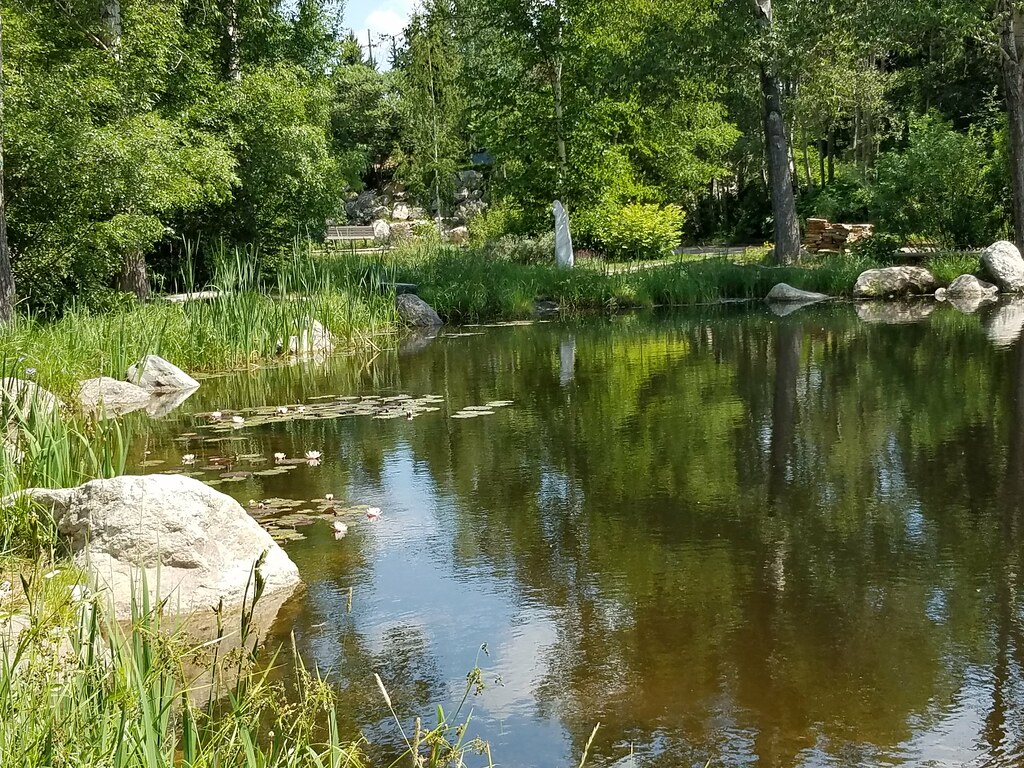 NPR TrailHiking · ~2 min drivePhoto: supercraigtalbert, CC BY 2.0 (via Flickr)
 Morning Gloria TrailHiking · ~2 min drivePhoto: supercraigtalbert, CC BY 2.0 (via Flickr)
- Valley ViewHiking · ~3 min drive
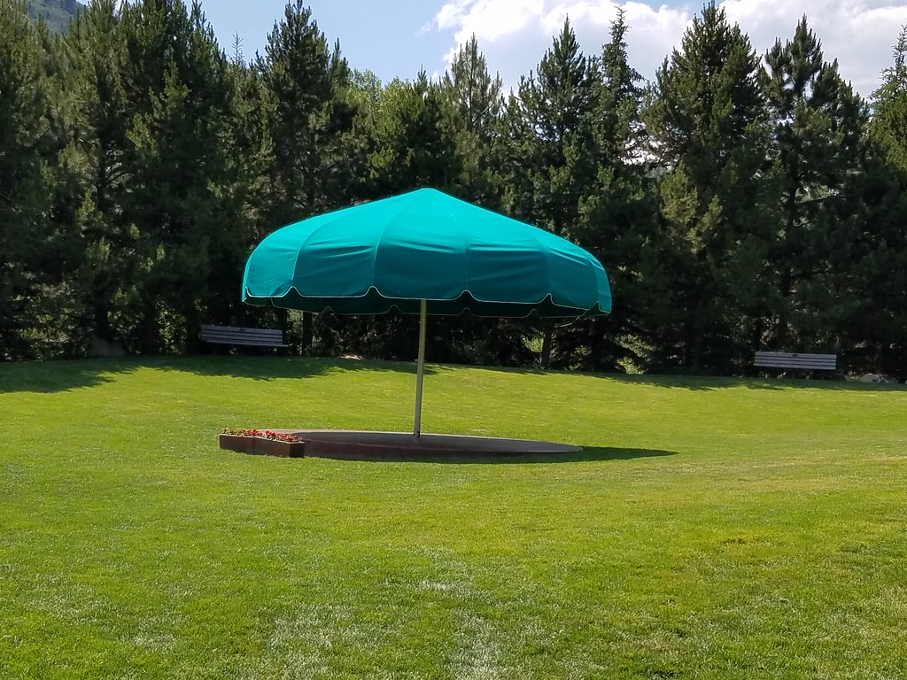 Bluffs LoopHiking · ~2 min drivePhoto: supercraigtalbert, CC BY 2.0 (via Flickr)
 Ricky's RidgeHiking · ~2 min drivePhoto: supercraigtalbert, CC BY 2.0 (via Flickr)
- Blair Witch TrailHiking · ~2 min drivePhoto: supercraigtalbert, CC BY 2.0 (via Flickr)
- Lupine TrailHiking · ~2 min drivePhoto: supercraigtalbert, CC BY 2.0 (via Flickr)
Best time to visit Yampa River Core Trail
Best months: May–September. Best months have typical highs of 55–85 °F, lows of 30 °F or warmer (32 °F where the station doesn't record snow), at most one snowy day and no more than 12 wet days.
Jan
29° / 5°
14 wet
Feb
34° / 8°
13 wet
Mar
45° / 18°
11 wet
Apr
54° / 27°
12 wet
May
65° / 34°
12 wet
Jun
76° / 39°
9 wet
Jul
83° / 46°
9 wet
Aug
82° / 44°
11 wet
Sep
74° / 36°
10 wet
Oct
59° / 26°
9 wet
Nov
43° / 16°
11 wet
Dec
30° / 6°
14 wet
Typical high / low (°F) and days with rain or snow, 1991–2020. Measured at Steamboat Springs, CO, 2 mi away at 6,866 ft. This station doesn't record snowfall. Source: NOAA NCEI U.S. Climate Normals 1991–2020.
Map and trail data © OpenStreetMap contributors
