Mount Zwischen
 Photo: Jeffrey Beall, CC BY 4.0 (via Wikimedia Commons)
- 12,006 ft
- summit
- National Park Service
- managed by
Is Mount Zwischen open right now?
Alert in the area
The National Park Service lists 2 alerts for Great Sand Dunes National Park.
Creek Crossings on Medano Pass Primitive Road Have Deep and Swift Water
Park alert covering Great Sand Dunes National Park · NPS · Great Sand Dunes National Park
Speed Limits are Much Lower Inside Park than Surrounding Highways
Park alert covering Great Sand Dunes National Park · NPS · Great Sand Dunes National Park
As of · Source: NPS · Great Sand Dunes National Park. Agencies don't list every closure — check before you go.
Mount Zwischen is a summit of about 12,006 feet in Saguache County, Colorado, inside Great Sand Dunes National Park and the Sangre de Cristo Wilderness. The National Park Service manages the land, and the nearest town is Gardner, about 16 miles away. Several trails start within a few miles, including the Trail to Indian Grove Back Country Campsite, Sand Ramp Trail and Sand Pit Trail. Pinyon Flats Campground is about 4 miles away.
Conditions and forecast
Daily highs and lows, wind and the chance of precipitation at the summit for the next 7 days, from the Open-Meteo model.
- Summit elevation
- 12,006 ft
- Land manager
- National Park Service
Elevation from USGS 3D Elevation Program terrain data (about 10 m resolution).
We don't know of a mapped trail or route to the summit of Mount Zwischen. Plan the approach with local maps, a guidebook or a local guide, and check conditions before you go.
Questions about Mount Zwischen
How tall is Mount Zwischen?
12,006 ft (3,659 m).
Is there a trail to the top of Mount Zwischen?
We don't know of a mapped trail or route to the summit. Plan the approach with local maps, a guidebook or a local guide.
 Mount Herard13,346 ft · Colorado1 route4.5 mi awayPhoto: Hogs555, CC BY-SA 3.0 (via Wikimedia Commons)
 Tijeras Peak13,600 ft · Colorado1 route10 mi awayPhoto: Adam Meek, CC BY 2.0 (via Wikimedia Commons)
- Music Mountain13,354 ft · Colorado1 route11 mi away
- Milwaukee Peak13,515 ft · Colorado1 route12 mi away
- Marble Mountain13,265 ft · Colorado1 route12 mi away
- California Peak13,847 ft · Colorado1 route12 mi away
- Trail to Indian Grove Back Country CampsiteHiking3 mi
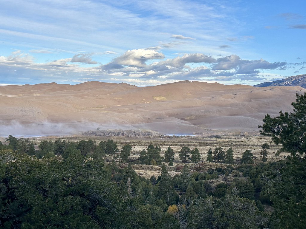 Sand Ramp TrailHikingPhoto: Navin75, CC BY-SA 2.0 (via Flickr)3.4 mi
 Sand Pit TrailHikingPhoto: roy.luck, CC BY 2.0 (via Flickr)3.5 mi
 Dunes Overlook TrailHikingPhoto: Navin75, CC BY-SA 2.0 (via Flickr)4 mi
- Pinyon Flats CampgroundCamping4.1 mi
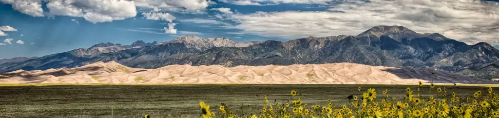 Pinon Flats CampgroundCampingPhoto: Recreation.gov (RIDB) / public domain4.3 mi
- Medano Camping AreaCamping5.5 mi
- Muddy CreekCanoeing9.6 mi
Source: Roamze catalog (indexable pages within 10 miles, PostGIS distance)
- Mount HerardSummit · ~8 min drivePhoto: Hogs555, CC BY-SA 3.0 (via Wikimedia Commons)
 Cleveland PeakSummit · ~16 min drivePhoto: Great Sand Dunes National Park and Preserve, CC BY 2.0 (via Wikimedia Commons)
- Tijeras PeakSummit · ~18 min drivePhoto: Adam Meek, CC BY 2.0 (via Wikimedia Commons)
 Pico AisladoSummit · ~21 min drivePhoto: Jeremiah LaRocco, CC BY-SA 2.0 (via Wikimedia Commons)
 Crestone NeedleSummit · ~23 min drivePhoto: Meniscus, Public domain (via Wikimedia Commons)
 Humboldt PeakSummit · ~24 min drivePhoto: Meniscus at English Wikipedia, Public domain (via Wikimedia Commons)
 Crestone PeakSummit · ~24 min drivePhoto: Adam Ginsburg, CC BY-SA 2.5 (via Wikimedia Commons)
 Twin PeaksSummit · ~25 min drivePhoto: David Herrera, CC BY 2.5 (via Wikimedia Commons)
 Blanca PeakSummit · ~25 min drivePhoto: No machine-readable author provided. Meniscus~commonswiki assumed (based on copyright claims)., CC BY-SA 3.0 (via Wikimedia Commons)
 Iron MountainSummit · ~26 min drivePhoto: Jeffrey Beall, CC BY 4.0 (via Wikimedia Commons)
