Glenwood Canyon Resort
Campground
Campground · 7.1 mi from the trail
Alert in the area
The Forest Service lists 6 alerts for White River National Forest.
FSR 286, Radical Hill, is closed due to washouts and unsafe conditions
Agency alert covering White River National Forest · USFS · White River National Forest
Limited parking at Snowmass Creek Trailhead
Agency alert covering White River National Forest · USFS · White River National Forest
Grizzly Creek Trail Closure
Agency alert covering White River National Forest · Order 2026-02 · USFS · White River National Forest
Ruedi Marina Day Use area Dump Station is CLOSED
Agency alert covering White River National Forest · USFS · White River National Forest
Asbestos safety closure - Camp Hale
Agency alert covering White River National Forest · USFS · White River National Forest
As of · Source: USFS · White River National Forest. Agencies don't list every closure — check before you go.
Ute Lake is an easy out-and-back hike in the Rifle Ranger District of Colorado's White River National Forest, about 2.4 miles long with a total elevation gain of 453 feet. The trail starts at a low point of about 10,297 feet and climbs to a high of about 10,747 feet, and it is accessible, so it works well for a short outing on a day when you want to stay on your feet for a while. The Forest Service manages the land, and the trail is natural-surfaced. Bikes are not allowed, so plan on walking. The route is open year-round, so you can go any time of year. Nearby, the Transfer Trail for mountain biking is less than a mile away, and the East No Name hike is about 2.4 miles off. Canyon Creek, a canoeing spot, is about 4.4 miles away, and Glenwood Canyon Resort offers camping about 7 miles from the trail.
Glenwood Canyon Resort
Campground
Vicco’s Charcoalburger drive in
Fast food
Thermal springs in Colorado
Places © OpenStreetMap contributors
More in Glenwood SpringsNot on Roamze yet. Their page has how to reach them.
 Photo: KimonBerlin, CC BY-SA 2.0 (via Flickr)
Broken Rib
~9 min drive
8.89-mile out-and-back trail in Colorado's White River National Forest with 1,921 ft gain.
 Photo: Tony Webster, CC BY 2.0 (via Flickr)
Wulfsohn Trail South
~12 min drive
1.02-mile out-and-back hike in Colorado with 350 ft elevation gain.
HIKE
Mitchell Creek
~7 min drive
7.08-mile out-and-back trail in Colorado's White River National Forest with 2,816 ft gain.
HIKE
TRANSFER TRAIL
~12 min drive
26.16-mile point-to-point trail in Colorado with 6,311 ft elevation gain.
 Photo: Loco Steve, CC BY 3.0 (via Wikimedia Commons)
Grizzly Creek
~12 min drive
7.39-mile out-and-back trail in Colorado's White River National Forest with 2,288 ft gain.
Photo: Tony Webster, CC BY 2.0 (via Flickr)Steve Bob Trail
~12 min drive
1.24-mile out-and-back trail in Colorado with 391 ft elevation gain and loss.
HIKE
Jessie Weaver
~9 min drive
16.58-mile out-and-back trail in Colorado's White River National Forest with 3,824 ft gain.
Photo: Tony Webster, CC BY 2.0 (via Flickr)Olsen Connector Trail
~13 min drive
1.22-mile out-and-back trail in Colorado with 1,007 ft elevation gain
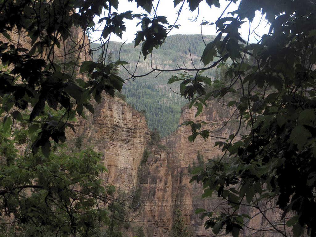 Photo: WasifMalik, CC BY 2.0 (via Flickr)
Lookout Mountain
~14 min drive
1.28-mile out-and-back trail on Lookout Mountain in Colorado with 629 ft gain.
HIKE
Boiler Creek
~10 min drive
18.43-mile out-and-back trail in Colorado with 1,545 ft elevation gain.

