Glenwood Canyon Resort
Campground
Campground · 2.1 mi from the trail
Alert in the area
The Forest Service lists 6 alerts for White River National Forest.
FSR 286, Radical Hill, is closed due to washouts and unsafe conditions
Agency alert covering White River National Forest · USFS · White River National Forest
Limited parking at Snowmass Creek Trailhead
Agency alert covering White River National Forest · USFS · White River National Forest
Grizzly Creek Trail Closure
Agency alert covering White River National Forest · Order 2026-02 · USFS · White River National Forest
Ruedi Marina Day Use area Dump Station is CLOSED
Agency alert covering White River National Forest · USFS · White River National Forest
Asbestos safety closure - Camp Hale
Agency alert covering White River National Forest · USFS · White River National Forest
As of · Source: USFS · White River National Forest. Agencies don't list every closure — check before you go.
Jessie Weaver is a hard hike in Colorado's White River National Forest, within the Rifle Ranger District. It is an out-and-back route of about 16.6 miles, with a total elevation gain of 3,824 feet, taking you from a low point of about 6,000 feet to a high of about 10,000 feet. The trail is accessible and is open year-round, with parking at the No Name Trailhead. The trail is natural-surface and allows horses. Bikes are not permitted. The Forest Service lists it as accessible. The closest neighbors are the No Name Canyon Boulder Problems and Poison Ivy Wall climbing areas, both about 1.3 miles away, and the Cutover and Grizzly Creek hikes, within about 2 miles. Glenwood Canyon Resort, a campground, sits about 2.1 miles off.
Glenwood Canyon Resort
Campground
Smokehouse
Restaurant
Thermal springs in Colorado
Places © OpenStreetMap contributors
More in Glenwood SpringsNot on Roamze yet. Their page has how to reach them.
 Photo: Loco Steve, CC BY 3.0 (via Wikimedia Commons)
Grizzly Creek
~3 min drive
7.39-mile out-and-back trail in Colorado's White River National Forest with 2,288 ft gain.
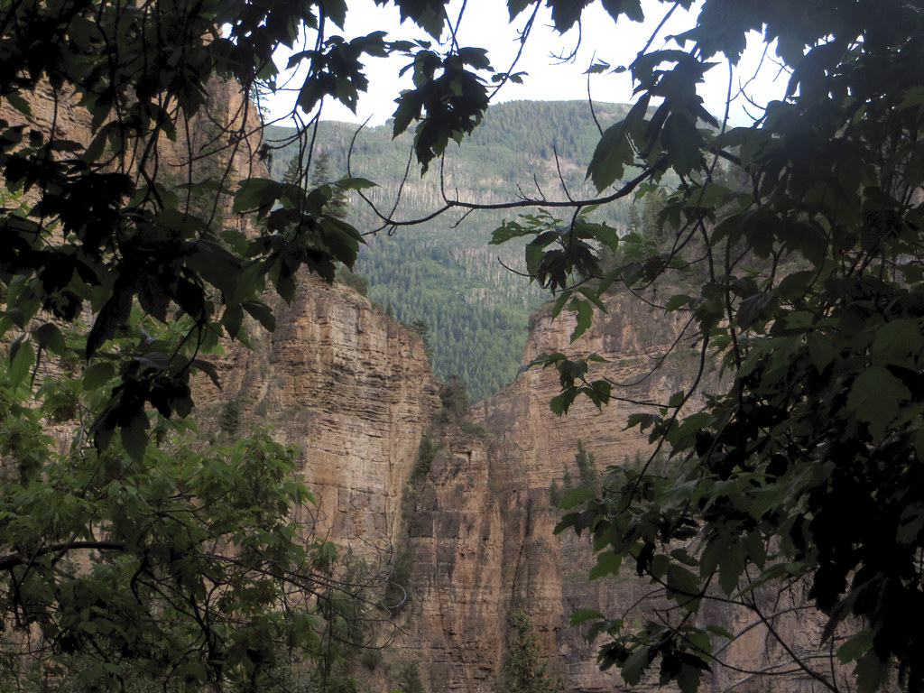 Photo: WasifMalik, CC BY 2.0 (via Flickr)
Lookout Mountain
~6 min drive
1.28-mile out-and-back trail on Lookout Mountain in Colorado with 629 ft gain.
HIKE
TRANSFER TRAIL
~6 min drive
26.16-mile point-to-point trail in Colorado with 6,311 ft elevation gain.
HIKE
Defiance
~8 min drive
3.99-mile out-and-back trail in Colorado's White River National Forest with 2,364 ft gain
 Photo: Tony Webster, CC BY 2.0 (via Flickr)
Olsen Connector Trail
~7 min drive
1.22-mile out-and-back trail in Colorado with 1,007 ft elevation gain
Photo: Tony Webster, CC BY 2.0 (via Flickr)Wulfsohn Trail South
~7 min drive
1.02-mile out-and-back hike in Colorado with 350 ft elevation gain.
HIKE
Coburn Rim
~20 min drive
7.43-mile out-and-back trail in Colorado with 659 ft elevation gain.
 Photo: inkknife_2000 (7.5 million views +), CC BY-SA 2.0 (via Wikimedia Commons)
Hanging Lake
~9 min drive
2.1 mi · Moderate
Photo: Tony Webster, CC BY 2.0 (via Flickr)Steve Bob Trail
~7 min drive
1.24-mile out-and-back trail in Colorado with 391 ft elevation gain and loss.
HIKE
Harold's Trail
~22 min drive
9.21-mile out-and-back hike in Colorado's White River National Forest with 1,545 ft gain.

