Glenwood Canyon Resort
Campground
Campground · 1.1 mi from the trail
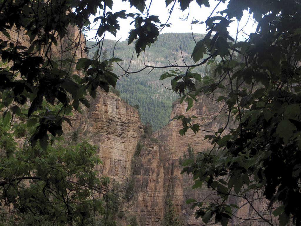 Photo: WasifMalik, CC BY 2.0 (via Flickr)
Lookout Mountain is an easy out-and-back hike in Lookout Mountain Park, a city-managed park in Colorado. The route starts at the high point, 7,959 feet, and descends to a low of 7,348 feet before returning, making the total climb about 630 feet. The steepest stretch comes early, at about 0.26 miles in, with a grade of 28 percent. Summer is the most comfortable time to go. Typical July highs reach about 81°F with lows near 40°F, based on averages from a nearby weather station at a similar elevation. Winter is cold, with January highs around 34°F. The trip takes about half an hour. The closest neighbors are the Boy Scout mountain biking area, about 0.8 miles away, and the Pioneer Cemetery Trail, about 1.2 miles away. Glenwood Canyon Resort and the Zipper Buttress climbing area are each about 1.1 miles off.
Glenwood Canyon Resort
Campground
Glenwood Canyon Brewpub
Brewery
Thermal springs in Colorado
Places © OpenStreetMap contributors
More in Glenwood SpringsNot on Roamze yet. Their page has how to reach them.
 Glenwood Canyon ResortCampingPhoto: DimiTalen, CC BY-SA 3.0 (via Wikimedia Commons)1.1 mi
Source: Roamze catalog (indexable pages within 10 miles, PostGIS distance)
 Wulfsohn Trail SouthHiking · ~4 min drivePhoto: Tony Webster, CC BY 2.0 (via Flickr)Olsen Connector TrailHiking · ~4 min drivePhoto: Tony Webster, CC BY 2.0 (via Flickr)Steve Bob TrailHiking · ~4 min drivePhoto: Tony Webster, CC BY 2.0 (via Flickr)
 Grizzly CreekHiking · ~6 min drivePhoto: Loco Steve, CC BY 3.0 (via Wikimedia Commons)
 Swoop's LoopHiking · ~10 min drivePhoto: foto3116, CC BY 2.0 (via Flickr)
 Hanging LakeHiking · ~11 min drivePhoto: inkknife_2000 (7.5 million views +), CC BY-SA 2.0 (via Wikimedia Commons)
Best months: June–September. Best months have typical highs of 55–85 °F, lows of 30 °F or warmer (32 °F where the station doesn't record snow), at most one snowy day and no more than 12 wet days.
Jan
34° / 4°
Feb
36° / 6°
Mar
43° / 13°
Apr
51° / 21°
May
63° / 28°
Jun
75° / 34°
Jul
81° / 40°
Aug
80° / 39°
Sep
71° / 32°
Oct
61° / 23°
Nov
45° / 13°
Dec
34° / 5°
Typical high / low (°F) and days with rain or snow, 1991–2020. Measured at Meredith, CO, 32.3 mi away at 7,825 ft. This station doesn't record snowfall. Source: NOAA NCEI U.S. Climate Normals 1991–2020.
Map and trail data © OpenStreetMap contributors
