Ute Indian Trail
- 0.7 mi
- round trip
- 957 ft
- climb
- 7,192 ft
- high point
- Out and back
- route
- May–Oct
- best months
Clear today
Weather is good · OpenWeather · checked 8 h ago
Ute Indian Trail is a short, out-and-back hike in Colorado, about a mile from Manitou Springs. It rises from 6,822 feet to 7,192 feet, with a total gain of 957 feet over a round trip of about 1.3 miles. The trail is easy to pick up and fits easily into a day spent exploring the area around town. The climb is front-loaded, with the steepest section coming about 0.4 miles in at a grade of 18 percent. That makes the early stretch the hardest part of the route. For most of the way, the trail runs at a gentler pace, and the return trip mirrors the ascent. Late spring and early fall are the most comfortable times to go. Typical averages from a nearby weather station show May highs around 69°F with lows near 40°F, and September highs around 76°F with lows near 47°F. July is the warmest month, with highs in the mid-80s. The Northern Incline Return Trail starts just 0.1 mile away, and The Incline is about 0.2 mile off. Colorado Springs, about 1.6 miles away, offers climbing, and Pikes Peak RV Park, about 1.9 miles away, has camping.
Local outfitters
- Broadmoor Outfitters7 mi away
- Gold Belt Tour Scenic and Historic Byway22 mi away
Not on Roamze yet. Their page has how to reach them.
- Northern Incline Return Trail;Hiking0.1 mi
- The InclineHiking0.2 mi
- Colorado SpringsRock climbing1.6 mi
- Pikes Peak RV ParkCamping1.9 mi
- Crystal Kangaroo CampgroundCamping2.1 mi
- Caveman WallRock climbing2.3 mi
- Homestake Fishing SiteLake fishing8 mi
 Fountain CreekCanoeingPhoto: Cassandra from Columbus, Ohio, USA, CC BY 2.0 (via Wikimedia Commons)8.2 mi
Source: Roamze catalog (indexable pages within 10 miles, PostGIS distance)
 Pikes PeakHiking · Next doorPhoto: davidwilson1949 — CC BY 2.0 (via Flickr)
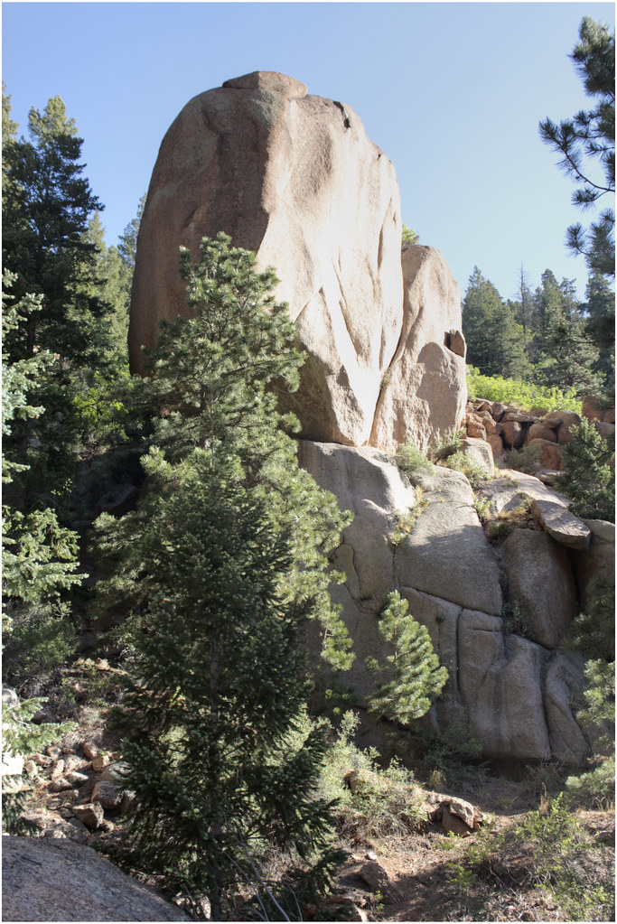 Eagles NestHiking · ~1 min drivePhoto: markbyzewski, CC BY 2.0 (via Flickr)
 Williams Canyon TrailHiking · ~2 min drivePhoto: christinejwarner, CC BY 2.0 (via Flickr)
- The InclineHiking · Next door
- Waldo CanyonHiking · ~3 min drive
 Gog and Magog Rocks TrailHiking · ~2 min drivePhoto: markbyzewski, CC BY 2.0 (via Flickr)
 Intemann TrailHiking · ~3 min drivePhoto: eschipul, CC BY 2.0 (via Flickr)
- Barr TrailHiking · Next door
- Gog and Magog Rocks TrailHiking · ~2 min drivePhoto: markbyzewski, CC BY 2.0 (via Flickr)
 Intemann TrailHiking · ~4 min drivePhoto: CaroleHenson, CC BY-SA 3.0 (via Wikimedia Commons)
Best time to visit Ute Indian Trail
Best months: May–October. Best months have typical highs of 55–85 °F, lows of 30 °F or warmer (32 °F where the station doesn't record snow), at most one snowy day and no more than 12 wet days.
Jan
45° / 19°
Feb
45° / 19°
Mar
54° / 26°
Apr
60° / 31°
May
69° / 40°
Jun
80° / 50°
Jul
85° / 55°
Aug
83° / 54°
Sep
76° / 47°
Oct
65° / 35°
Nov
53° / 26°
Dec
45° / 19°
Typical high / low (°F) and days with rain or snow, 1991–2020. Measured at Black Forest 6wnw, CO, 13.8 mi away at 6,957 ft. This station doesn't record snowfall. Source: NOAA NCEI U.S. Climate Normals 1991–2020.

Map and trail data © OpenStreetMap contributors
