Barr Trail
- 23.8 mi
- round trip
- 7,408 ft
- climb
- 14,080 ft
- high point
- Out and back
- route
Barr Trail is a hard out-and-back hike in Colorado, managed by the U.S. Forest Service and starting about a mile from Manitou Springs. The route stretches roughly 23.8 miles, with a total elevation gain of 7,408 feet, carrying hikers from a low point of 6,676 feet to a high of 14,080 feet. The trail makes a natural pairing with Pikes Peak, which sits just 0.1 mile away, and with The Incline, also about a tenth of a mile off. For an overnight stay, Pikes Peak RV Park is 1.8 miles away and Crystal Kangaroo Campground is 2 miles away.
Local outfitters
- Broadmoor Outfitters6 mi away
- Gold Belt Tour Scenic and Historic Byway22 mi away
Not on Roamze yet. Their page has how to reach them.
Conditions and forecast on Pikes Peak
Daily highs and lows, wind and the chance of precipitation at the summit and route start for the next 7 days, from the Open-Meteo model.
 Pikes PeakHikingPhoto: davidwilson1949 — CC BY 2.0 (via Flickr)0.1 mi
- The InclineHiking0.1 mi
- Colorado SpringsRock climbing1.7 mi
- Pikes Peak RV ParkCamping1.8 mi
- Crystal Kangaroo CampgroundCamping2 mi
- Caveman WallRock climbing2.4 mi
 Fountain CreekCanoeingPhoto: Cassandra from Columbus, Ohio, USA, CC BY 2.0 (via Wikimedia Commons)8 mi
- Homestake Fishing SiteLake fishing8.2 mi
Source: Roamze catalog (indexable pages within 10 miles, PostGIS distance)
- Pikes PeakHiking · Next doorPhoto: davidwilson1949 — CC BY 2.0 (via Flickr)
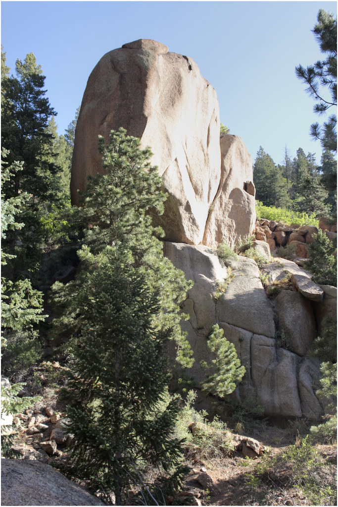 Eagles NestHiking · ~1 min drivePhoto: markbyzewski, CC BY 2.0 (via Flickr)
 Williams Canyon TrailHiking · ~3 min drivePhoto: christinejwarner, CC BY 2.0 (via Flickr)
- The InclineHiking · Next door
- Waldo CanyonHiking · ~3 min drive
 Gog and Magog Rocks TrailHiking · ~2 min drivePhoto: markbyzewski, CC BY 2.0 (via Flickr)
 Intemann TrailHiking · ~3 min drivePhoto: eschipul, CC BY 2.0 (via Flickr)
- Eagle Mountain TrailHiking · Next door
- Gog and Magog Rocks TrailHiking · ~2 min drivePhoto: markbyzewski, CC BY 2.0 (via Flickr)
 Intemann TrailHiking · ~4 min drivePhoto: CaroleHenson, CC BY-SA 3.0 (via Wikimedia Commons)

Route details
- Distance
- 23.8 mi round trip
- Climbing
- About 7,408 ft
- Starts at
- Barr Trailhead (about 6,676 ft)
- Summit
- 14,107 ft
- Difficulty
- Hard
Getting there
Park at Barr Trailhead.
Other routes up Pikes Peak
Questions about this route
How long is the Barr Trail on Pikes Peak?
About 23.8 mi round trip from Barr Trailhead (about 6,676 ft).
How much elevation gain is on the Barr Trail?
About 7,408 ft of climbing round trip.
How hard is the Barr Trail?
It is rated hard.
Where does the Barr Trail start?
Barr Trailhead (about 6,676 ft).
How many routes go up Pikes Peak?
3: Pikes Peak West Summit, Pikes Peak and Barr Trail.
Map and trail data © OpenStreetMap contributors
