Traci's Trail
- 0.4 mi
- round trip
- 225 ft
- climb
- 8,817 ft
- high point
- Out and back
- route
- Jun–Aug
- best months
Traci's Trail is an easy hike in Colorado, about 1.7 miles from the town of Elkdale. It is a short out-and-back route of 0.7 miles, with a high point of 8,817 feet and a low of 8,710 feet. The trail starts at the high point and ends a little lower, with a total climb of about 225 feet and a similar descent. The steepest stretch comes at about 0.2 miles, where the grade reaches 6 percent. Summer is the most comfortable time to go. Typical averages from the nearby Fraser weather station put July highs around 77°F with lows near 38°F, and June and August run close to that. Winter is cold, with typical January highs around 31°F and lows near -1°F. The hike takes about half an hour. Cake Walk is just 0.1 mile away, and Lower Rabbit Run, a cross-country ski area, is the same distance. For climbing, the Grand County / Fraser Valley area is about 1.8 miles away, and St. Louis Creek Campground is about 7.6 miles away.
Local outfitters
- Camp Always Choose Adventures24 mi away
- Wildcat Mountaineering36 mi away
Not on Roamze yet. Their page has how to reach them.
- Cake WalkHiking0.1 mi
 Lower Rabbit RunCross-country skiingPhoto: Earth Science and Remote Sensing Unit, Lyndon B. Johnson Space Center, Public domain (via Wikimedia Commons)0.1 mi
- Grand County / Fraser ValleyRock climbing1.8 mi
- Hurd Creek CragRock climbing4.6 mi
- St. Louis Creek CampgroundCamping7.6 mi
- Ranch CreekCanoeing7.6 mi
 Fraser RiverCanoeingPhoto: Jeffrey Beall, CC BY 4.0 (via Wikimedia Commons)7.9 mi
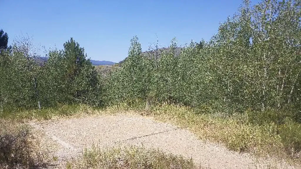 Willow Creek GroupCampingPhoto: Recreation.gov (RIDB) / public domain8.3 mi
Source: Roamze catalog (indexable pages within 10 miles, PostGIS distance)
 Hallett's Peak TrailHiking · ~2 min drivePhoto: Jan Helebrant — CC0 1.0 (via Flickr)
 Ike's TrailHiking · ~3 min drivePhoto: sarahstierch, CC BY 2.0 (via Flickr)
- CaribouHiking · ~12 min drive
- CREEKSIDEHiking · ~12 min drive
 Lower Fruit LoopHiking · ~6 min drivePhoto: neverbutterfly, CC BY 2.0 (via Flickr)
- Doe CreekHiking · ~13 min drive
- FlumeHiking · ~13 min drive
- Ridge RunnerHiking · ~8 min drivePhoto: neverbutterfly, CC BY 2.0 (via Flickr)
- CROOKED CREEK/KEYSER CREEKHiking · ~12 min drive
- Strawberry WestHiking · ~11 min drive
Also worth it near here
- Lower Rabbit RunCross-country skiing · Next doorPhoto: Earth Science and Remote Sensing Unit, Lyndon B. Johnson Space Center, Public domain (via Wikimedia Commons)
- Granby RanchDownhill skiing · Next door
 Uphill RouteSki touring · ~2 min drivePhoto: Missvain, CC BY 4.0 (via Wikimedia Commons)
- Geronimo CampgroundCamping · ~5 min drive
Best time to visit Traci's Trail
Best months: June–August. Best months have typical highs of 55–85 °F, lows of 30 °F or warmer (32 °F where the station doesn't record snow), at most one snowy day and no more than 12 wet days.
Jan
31° / -1°
11 wet
Feb
34° / 2°
10 wet
Mar
43° / 11°
9 wet
Apr
51° / 20°
8 wet
May
62° / 27°
7 wet
Jun
72° / 33°
6 wet
Jul
77° / 38°
9 wet
Aug
74° / 37°
10 wet
Sep
68° / 29°
8 wet
Oct
56° / 21°
7 wet
Nov
41° / 10°
8 wet
Dec
31° / -1°
10 wet
Typical high / low (°F) and days with rain or snow, 1991–2020. Measured at Fraser, CO, 7.6 mi away at 8,560 ft. This station doesn't record snowfall. Source: NOAA NCEI U.S. Climate Normals 1991–2020.
Map and trail data © OpenStreetMap contributors
